
511on.ca
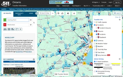
Ontario 511 portal for traffic cameras, road conditions, incidents, construction, and travel information.
Directory
Published directory entries matching your search.
Ontario 511 portal for traffic cameras, road conditions, incidents, construction, and travel information.

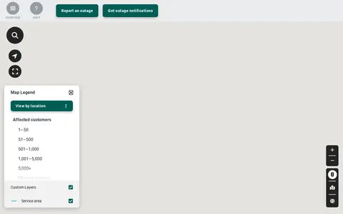
Toronto Hydro outage map for checking active power outages and service restoration information.

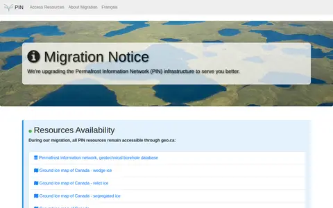
The Permafrost Information Network is an online resource covering permafrost topics. A migration notice states that the network's infrastructure is being upgraded and that its resources remain accessible through geo.ca during the migration. Listed resources include the permafrost information network, a geotechnical borehole database, and ground ice maps of Canada for wedge ice, relict ice, and segregated ice.

PlowTO is a City of Toronto map service. According to the city page, the map is unavailable during the summer months while routine maintenance is completed, and the service resumes in the winter season when snow-clearing operations begin.

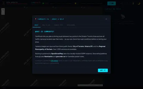
CamRoute is a tool for planning a driving route in the Greater Toronto Area and viewing traffic cameras near that route. It draws on over 1,300 cameras from the City of Toronto, Ontario 511, and Durham Region, with routing powered by OpenStreetMap data. It is described as an independent, unofficial project.

Live Toronto police calls dashboard showing public incident categories and map-based activity.