cpre.org.uk
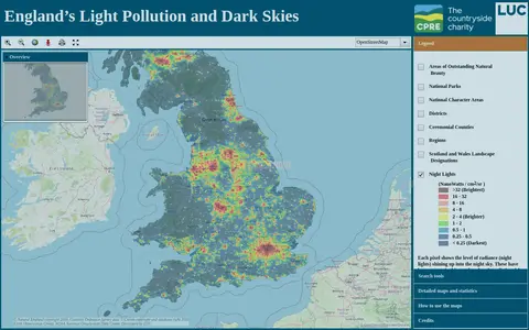
An online map of England's light pollution and dark skies. Users can search by postcode, district or National Character Area, tick boundaries in the legend to display them, and click the map for detailed information about an area. The map uses OpenStreetMap and World Imagery data and was developed by LUC.