labs.tib.eu
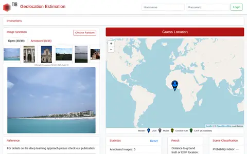
GeoEstimation is a tool for estimating the geolocation of photos. Users select an image from a predefined benchmark test set and click a world map to make a guess. Results are shown as a heat map of likely locations and a visualization of contributing photo parts, alongside scene classification probabilities for indoor, nature and urban settings.