arcgis.com
ArcGIS dashboard visualizing recent earthquakes, locations, magnitudes, and related seismic data.
Directory
Published directory entries matching your search.
ArcGIS dashboard visualizing recent earthquakes, locations, magnitudes, and related seismic data.
Edmonton Open Data is the City of Edmonton's open data portal. It maintains a wide range of data, APIs, interactive charts and maps used by city departments, residents, the general public, government and non-government agencies and online GIS user communities.

ELIXIR Luxembourg is the Luxembourgish node of ELIXIR, the European life science information infrastructure. It describes services for long-term sustainability of tools and data for Translational Medicine, including secure data hosting, a biomedical data catalogue, disease and pathway maps on the MINERVA Platform, the FAIR Cookbook, RDMkit and a knowledge hub.

Episode Hive maps anime episodes to canon and filler storylines for more selective viewing.

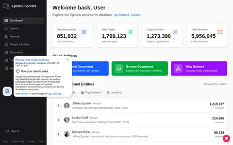
A searchable archive of public Epstein-related documents, including court filings, flight logs, depositions and the black book. It uses AI to extract people, organizations and locations mentioned in the documents and maps their connections in a network visualization.

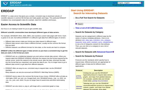
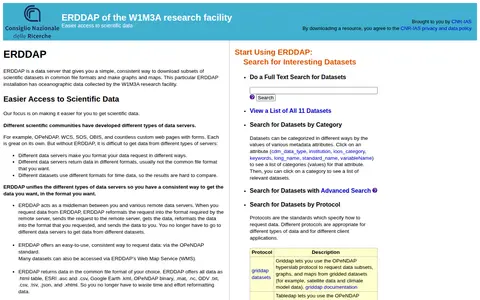
ERDDAP is a data server providing a simple, consistent way to download subsets of scientific datasets in common file formats and to make graphs and maps. This installation holds oceanographic data such as satellite and buoy data, and acts as a middleman reformatting requests and responses between users and remote data servers.

ERDDAP is a data server that provides a consistent way to download subsets of scientific datasets in common file formats and to make graphs and maps. This installation holds oceanographic data collected by the W1M3A research facility and is provided by CNR-IAS. Users can search 11 datasets by category, advanced search or protocol.

The European Environment Agency (EEA) produces knowledge to inform policymakers and the public, and provides access to a range of analysis and data products. These include publications, reports, indicators, interactive maps and dashboards, country fact sheets, downloadable datasets, and specialized environmental information systems covering areas such as marine, freshwater, biodiversity, forest, climate, and industrial emissions.
The European Soil Data Centre (ESDAC) is a resource hosted by the European Commission Joint Research Centre, focused on soil-related data and knowledge. It is part of the EU Soil Observatory, and provides datasets, maps, documents and indicators covering topics including soil properties, erosion and soil threats.

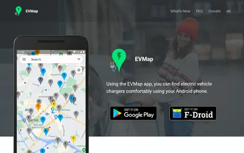
EVMap is an Android app for finding electric vehicle chargers, with map data from Google Maps or OpenStreetMap and community-maintained data. It offers place search, advanced filtering options, a favorites list and support for Android Auto and Android Automotive OS. The app is free and without ads.
Exhibit is an open source publishing framework for creating data-rich interactive web pages. It provides advanced text search and filtering, along with interactive maps, timelines and other visualizations. The software is licensed under the BSD license and was originally sponsored partially by The Andrew W. Mellon Foundation as part of the SIMILE project.

A stock screener for investors and traders offering financial visualizations, with sections for stock and ETF screening, maps, charts, news, insider trading, futures, forex, crypto, watchlists and portfolios. An Elite tier is described as providing real-time data, technical charting, alerts and no ads.

Flashka is an AI-powered study application that transforms user-uploaded notes, PDFs, lecture slides, and recorded audio into learning materials. Its features include AI-generated flashcards, spaced repetition scheduling, quizzes, mock exams, study plans, lecture transcription, mind maps, oral exam practice, case studies, and image occlusion tools. An integrated AI tutor provides support, and users can request material edits via an in-app chat.

FlockHopper is a free navigation app that provides turn-by-turn directions while routing around more than 140,000 Flock and ALPR cameras mapped by DeFlock volunteers. It includes camera alerts before each mapped camera and offline maps. The app requires no account and does not track users. It does not cover unmapped cameras or mobile readers.

Flowx is a weather app with offline access to GFS, GDPS, ECMWF, ICON, HRRR, NAM and other regional models. It offers swipe animations, model comparison on maps and graphs, and specialized data including radar, air quality and marine forecasts. The app reports no ads and no tracking, and is available for iOS and Android.

Archive of the PASCAL and FRANCIS bibliographic databases in exact, human and social sciences, produced by Inist-CNRS between 1972 and 2015. It provides access to more than 20 million references, including articles, patents, maps, conferences, books, reports and theses. Full-text access is offered where possible.

Free Classic Images provides thousands of royalty-free, printable vintage picture images. The collection includes categories such as famous paintings, botanical illustrations, old maps, retro pin-ups and Victorian women, intended for papercraft, decoupage, scrapbooking, card making and wall art. The site states no subscription, no membership and no royalty.

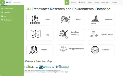
FRED (Freshwater Research and Environmental Database) is a data repository focused on freshwater research. It provides access to datasets related to lakes, rivers, wetlands, long-term monitoring, and species groups. Users can search by categories, view maps of study sites, sampling locations, parameters, and access project information and DOIs.
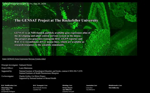
The GENSAT Brain Atlas is a collection of pictorial gene expression maps of the mouse nervous system. It is supported by the National Institute of Neurological Disorders and Stroke and the NIH Neuroscience Blueprint, with a Bac transgenic and Cre driver project among its components.
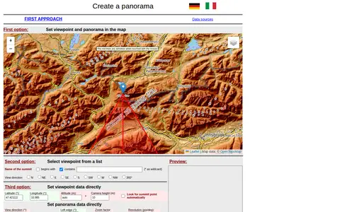
A web tool for creating mountain panoramas and identifying summits. A viewpoint can be set in a map, chosen from a summit list, or entered directly with latitude, longitude, altitude and camera height. View direction, zoom, resolution, tilt, sight range and elevation exaggeration can be set; JavaScript must be permitted.

GeoGratis / GéoGratis is a bilingual Government of Canada portal for searching, discovering and downloading free maps, cartographic data, imagery and publications, with separate English and French interfaces and terms and conditions of use.

Curated GEOINT resource board with links for geospatial intelligence, maps, imagery, and location research.
Geonarra helps explore location-based stories, map data, and geographic information through a map interface.

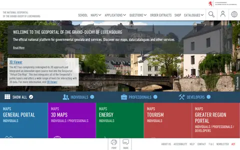
The national geoportal of the Grand-Duchy of Luxembourg is the official platform for governmental geodata and services. It provides maps, data catalogues, a 3D viewer and thematic portals, including energy, tourism, environment and the Greater region. Plugins let QGIS and ArcGIS Pro users search for a location, choose a basemap and add map layers or vector data.