RODBUK is the Cracow Open Research Data Repository for depositing and exploring open research data. Its site offers material on open research data concepts, data formats, FAIR principles, licenses, metadata, file naming and folder structure, version control and README files, and states data is accessible 24/7 from anywhere in the world.

Directory
Search results
Published directory entries matching your search.
The City of Peterborough Open Data Portal is the central hub for the city's GIS Open Data. It provides access to GIS datasets, printed maps, web mapping applications, and GIS applications.
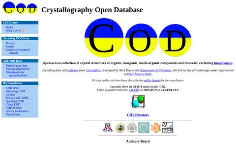
The Crystallography Open Database is an open-access collection of crystal structures of organic, inorganic, metal-organic compounds and minerals, excluding biopolymers. It provides browsing and searching, including search by structural formula and JSME search, and accepts deposited data. The site reports 535015 entries. All data and the database are dedicated to the public domain under the CC0 license.
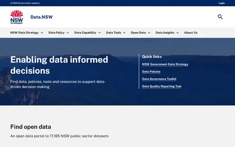
Data.NSW is an open data portal providing access to 17,193 NSW public sector datasets. It offers featured datasets, open data insights, and resources including the NSW Government Data Strategy, data policies, a data governance toolkit, and a quality reporting tool.
The Essex County Open Data Catalogue is a free and open data sharing portal. Anyone can access and use data relating to the County of Essex. The portal will grow to include local municipalities including Amherstburg, Essex, Kingsville, Lakeshore and LaSalle.
The HIFLD Open Portal is an ArcGIS Hub platform that allows users to discover, analyze, and download datasets in formats including CSV, KML, Zip, GeoJSON, GeoTIFF and PNG. It also provides access to geospatial service APIs, enables analysis with charts and thematic maps, and supports creation of StoryMaps and Web Maps.
IndraStra Global Open Repository (IGOR) is a Zenodo-powered platform for sharing and publishing open research data, including articles, reports, and datasets produced by IndraStra Global staff, contributors, and strategic knowledge partners. It operates under an Open Access Framework, with its collection hosted at a linked Zenodo community page and an associated upload portal.
KyGovMaps Open Data Portal is a platform for accessing Kentucky-specific geographic information system (GIS) data and mapping applications. Users can explore, download and analyze geospatial datasets, combine data via map tools, and develop custom web and mobile applications using the portal's resources.
The Maple Ridge Open Government Portal is the City of Maple Ridge's open data platform. It hosts mapping data and applications intended to provide residents with easier access to information relevant to life in Maple Ridge.
The Newfoundland and Labrador Open Data portal releases government datasets under an open licence, free of charge for anyone to use and reuse for any purpose. It offers tabular and spatial dataset catalogs, tags for finding data by topic, and charts and maps built from individual datasets. Data is provided in accessible, machine-readable formats such as XLS, CSV and TXT.
City of Houston open data site offering datasets such as building code enforcement violations, payroll and food service facility inspections. It aims to encourage civic engagement, improve transparency and facilitate access to public information.
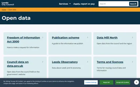
A Leeds City Council page that links to the council's open data resources, including Data Mill North, council data on data.gov.uk, and the Leeds Observatory. It also provides access to terms and licences and the EU reuse of public sector information directive.
Open Data Ottawa is the City of Ottawa's official open data initiative. It provides access to city data and information products to advance the city's commitments to transparency, openness, and accountability, and to improve public participation and civic engagement.
Open Data Platform: India Smart Cities is a portal under India's Smart Cities Mission, operated by the Ministry of Housing & Urban Affairs. It serves as a single-point access to open format resources published by Indian government ministries, departments and organizations, and hosts datasets, visualizations, blogs and infographics. The portal supports the DataSmart Cities Strategy to help urban areas address complex challenges with data.
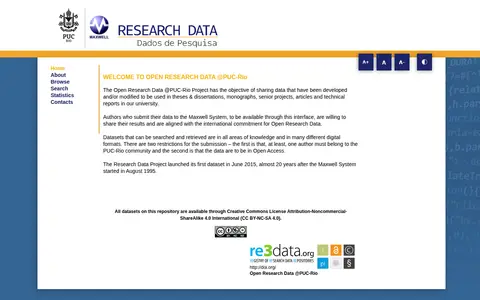
Open Research Data @PUC-Rio is a project of the Maxwell System that shares data developed or modified for theses, dissertations, monographs, senior projects, articles and technical reports at the university. Datasets span all areas of knowledge and many digital formats and can be searched and retrieved. Submission requires at least one author from the PUC-Rio community and open access data.
Open SDG Data Hub is an ArcGIS Hub platform focused on dataset discovery and access. It allows users to discover, analyze and download data in formats including CSV, KML, Zip, GeoJSON, GeoTIFF and PNG. The platform provides API links for GeoServices, WMS and WFS, and supports the creation of StoryMaps and Web Maps for data visualization.
open-loiret.opendata.arcgis.com is an ArcGIS Hub site that provides access to geospatial datasets. Users can discover, analyze and download data in formats including CSV, KML, Zip, GeoJSON, GeoTIFF and PNG. The site offers API links for GeoServices, WMS and WFS, and supports the creation of StoryMaps and Web Maps.
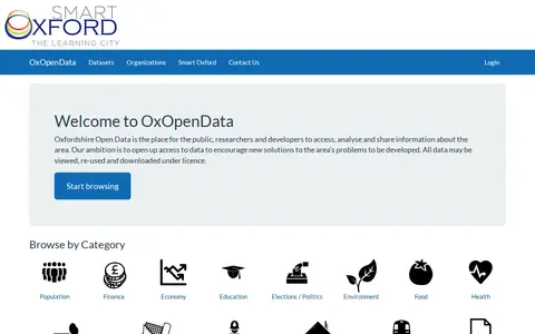
Oxfordshire Open Data provides a place for the public, researchers and developers to access, analyse and share information about the area. Data may be viewed, re-used and downloaded under licence. The site offers browsing by categories including population, finance, economy, education, elections, environment, food, health, parks, planning, public safety, land and property, and transportation.
The SCC Open Data Site is an ArcGIS Hub platform that provides access to downloadable datasets in formats including CSV, KML, Zip, GeoJSON, GeoTIFF and PNG. It offers API links for GeoServices, WMS and WFS, supports data analysis with charts and thematic maps, and enables users to create StoryMaps and Web Maps using the available data.
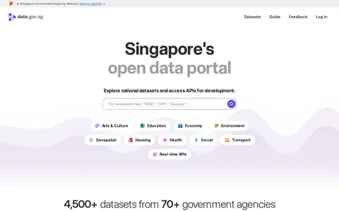
data.gov.sg is Singapore's open data platform, intended to make data discoverable, understandable and usable. It provides free access to interactive charts and maps for national datasets and offers APIs for development. The portal is described as holding 4,500+ datasets from 70+ government agencies, with options to explore and embed live charts and tables and to subscribe to datasets.
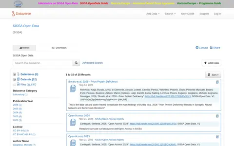
SISSA Open Data is a repository of research datasets and code from SISSA. It hosts supplementary videos, replication data for publications, open access annual reports and experimental datasets. Records can be browsed by name or date, and users can add data or create a dataverse after logging in.
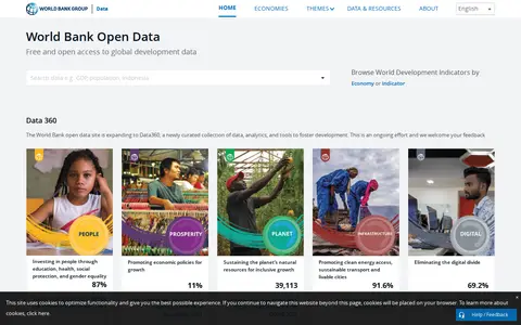
World Bank Open Data is a data resource providing free and open access to global development data. Its site sections cover topics such as education, health, social protection, gender equality, economic policy, natural resources, clean energy, transport, cities and the digital divide.
Växjö Municipality Open Geographical Data is an ArcGIS Hub platform for geographic data. Users can discover, analyze and download data in formats including CSV, KML, Zip, GeoJSON, GeoTIFF and PNG, access API links for GeoServices, WMS and WFS, and create StoryMaps and Web Maps.
bayanat.ae is the official United Arab Emirates government open data portal. It provides public access to government datasets, entities, publications, and other resources across topics including food security, economy, education, environment, health, infrastructure, and transport. The portal lists thousands of datasets and hundreds of entities for public use.