

A map published by the Reporters Committee showing the status of state legislation and police department policies on public access to police body-worn camera footage in the United States. State colors indicate whether legislation was proposed, passed, or decided by court case, and clicking a state links to related bills or cases.
Directory
Search results
Published directory entries matching your search.
Filters


reddit.com
r/MapPorn points to a Reddit community or thread with discussion, guides, updates, or shared resources.

satellitemap.space
Satellite Map is an educational resource for documentaries, courses, books, reference material, or self-learning.
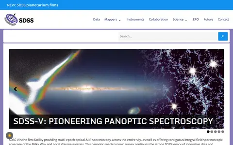

sdss.org
The Sloan Digital Sky Survey-V is a spectroscopic survey providing multi-epoch optical and infrared spectroscopy across the entire sky and integral-field coverage of the Milky Way and Local Volume galaxies. Its DR20 data release contains spectra and data products from the Black Hole Mapper and Milky Way Mapper, plus Local Volume Mapper preview tiles. Previous SDSS-I-IV data releases remain available.
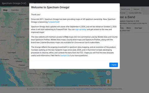
specmap.sequence-omega.net
Spectrum Ownership Map is a miscellaneous web resource for discovery, directories, archives, web culture, or useful tools.
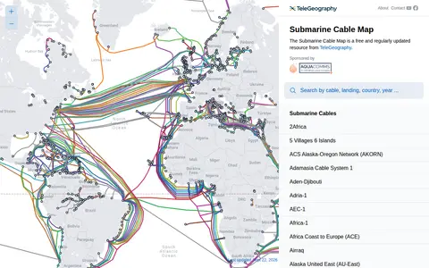

submarinecablemap.com
Submarine Cable Map is a miscellaneous web resource for discovery, directories, archives, web culture, or useful tools.

tedit.github.io
terraria-map-editor is a gaming tool for game fixes, launchers, mods, status checks, cloud gaming, or utilities.

thebanmappingproject.com
The Theban Mapping Project is a website about the Valley of the Kings, presenting the royal necropolis of the New Kingdom. It also covers the Valley of the Queens and Western Wadis and the dig houses of the West Bank built for Egyptologists, institutes, universities, and projects working there. The site offers guidance for visitors navigating the Theban Necropolis and its tombs.
map.lookingglasscyber.com
LookingGlass threat map for visualizing security events, attack activity, and internet risk signals.
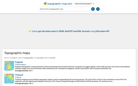

en-gb.topographic-map.com
topographic-map is a miscellaneous web resource for discovery, directories, archives, web culture, or useful tools.
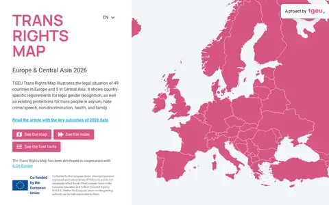

transrightsmap.tgeu.org
Trans Rights Map is a miscellaneous web resource for discovery, directories, archives, web culture, or useful tools.

treasure-maps.com
Treasure Maps is a software download or discovery resource for apps, installers, releases, or tools.
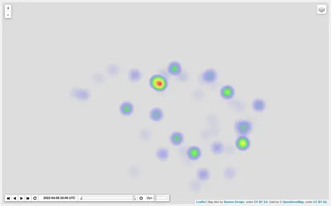
ruarq.github.io
Heatmap visualizing Ukraine war activity, incidents, and conflict intensity by location.
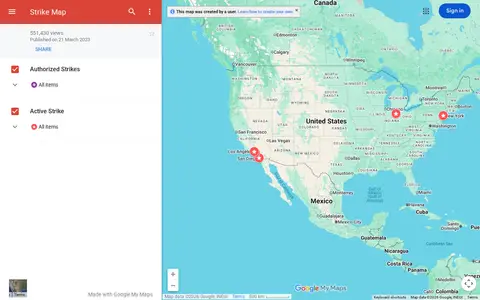

google.com
Google map tracking labor strikes, workplace actions, and related events across the United States.
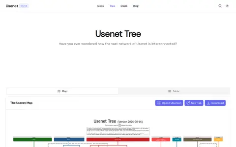

usenet.rexum.space
Usenet Providers Map is a software download or discovery resource for apps, installers, releases, or tools.
usgs.gov
USGS Maps is a miscellaneous web resource for discovery, directories, archives, web culture, or useful tools.
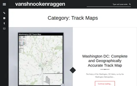

vanshnookenraggen.com
Vanshnookenraggen Track Maps is a curated directory or link collection for discovering useful websites, tools, and resources.
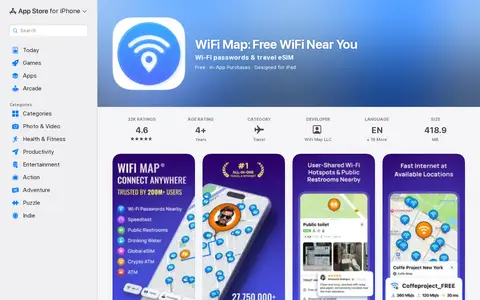

apps.apple.com
WiFi Map is an app store page with install details, screenshots, reviews, and app information.
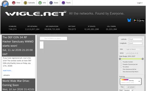

wigle.net
WiGLE maps wireless networks, Wi-Fi access points, Bluetooth devices, and location data.

wiki-map.com
Wiki-Map is a miscellaneous web resource for discovery, directories, archives, web culture, or useful tools.


worldhistory.org
World History Maps is a miscellaneous web resource for discovery, directories, archives, web culture, or useful tools.

bing.com
Microsoft search engine for web results, images, videos, maps, news, and AI-assisted answers.
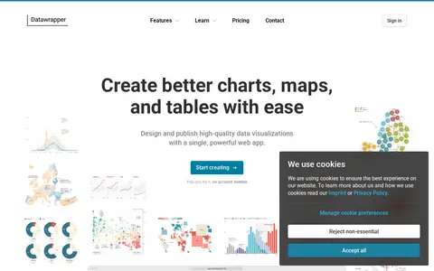

datawrapper.de
Datawrapper is an online tool for creating interactive charts, maps, and tables without code. It offers more than 20 chart types, over 4,000 basemaps for maps, and configurable tables. Visualizations are responsive and can be embedded on websites or exported to PowerPoint, PNG, PDF, and SVG. A step-based editor, custom themes, and real-time collaboration support design and publishing.
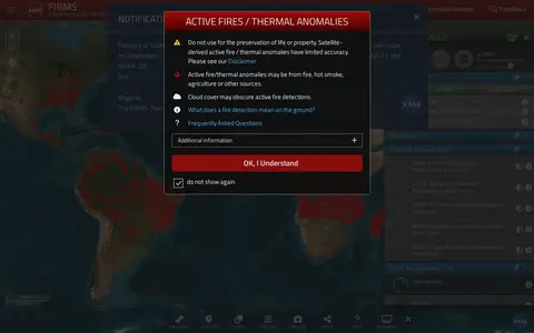

firms.modaps.eosdis.nasa.gov
NASA FIRMS map shows satellite-detected fires, hotspots, and fire activity around the world.