



MapCrunch displays random Google Street View locations around the world, allowing users to explore imagery from 50 countries. Users can filter views by country or region using a list or map, and selected views are added to a daily gallery. Views can be shared with a name shown under the gallery image.
Spectrum Ownership Map
Spectrum Ownership Map is a miscellaneous web resource for discovery, directories, archives, web culture, or useful tools.
Links
Tags
-
0MapCrunch displays random Google Street View locations around the world, allowing users to explore imagery from 50 countries. Users can filter views by country or region using a list or map, and selected views are added to a daily gallery. Views can be shared with a name shown under the gallery image.

-
0
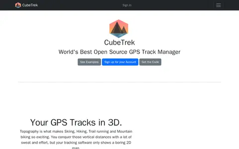
CubeTrek is an open source GPS track manager that displays tracks in 3D, letting users view all their activities in one place. It offers a replay mode, performance measurement and comparison, a personal calendar heatmap, and activity matching. Tracks can be imported from FIT and GPX files and synced with Garmin Connect, Polar Flow and Coros.
-
0An interactive map that explores the tales behind cartographic myths, blunders and imaginations that shaped views of the world. The site offers projections including Arctic, Antarctic, Mercator, Pacific, Robinson and Mollweide.
-
0
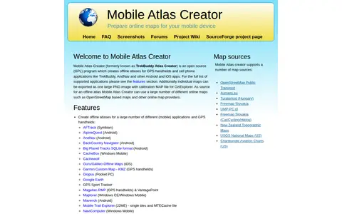
Mobile Atlas Creator (MOBAC) is an open source GPL program that creates offline atlases for GPS handhelds and cell phone applications from online map sources such as OpenStreetMap-based maps. It is written in Java and runs on Windows, Linux, and MacOS.
-
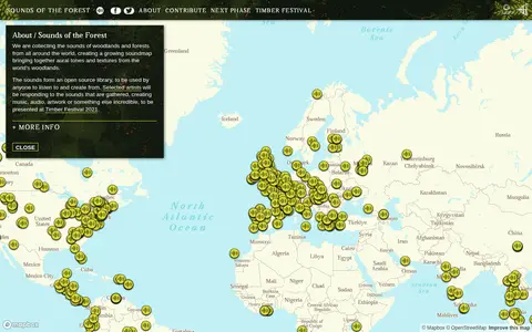
0Sounds of the Forest is a project collecting the sounds of woodlands and forests from around the world into a growing soundmap. The collected sounds form an open source library that anyone can listen to and create from. The project was created by Wild Rumpus and is built on Mapbox GL JS.
-
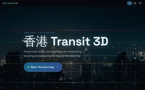
0Hong Kong Transit 3D is an independent project presenting a real-time 3D schedule simulation of Hong Kong's trains, trams, buses, and ferries over real terrain. Vehicles move according to published frequencies and the Hong Kong clock, not GPS tracking. The map includes depth-true tunnels, a per-line underground cross-section view, and trilingual support.
Community notes
Reviews and discussion
No reviews yet
Be the first to share how this project worked for you.
Join the discussion
Sign in with a verified account to leave a review or join the discussion.
Sign in to review