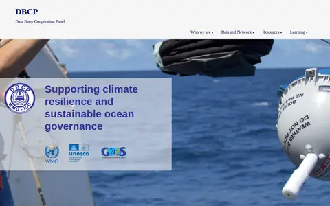
The Data Buoy Cooperation Panel (DBCP) is a global program coordinated by the WMO and IOC-UNESCO. It manages networks of autonomous ocean buoys, including drifting buoys, moored buoys, and tsunameters. DBCP supports climate resilience and sustainable ocean governance by collecting and providing ocean observation data. The network comprises over 1,500 active buoys covering 361 million km² and has operated for more than 50 years.
Directory
Search results
Published directory entries matching your search.
A DFG-funded network of experts for research data management in biodiversity, ecology and environmental studies. It presents information about the project and its services, including links and training material for planning, submitting and visualizing research data.
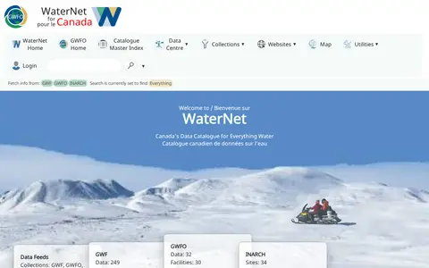
GWFNet, operating as WaterNet, is Canada's national information resource for water data. It hosts a catalogue of water data, publications and observatories, with features to search for data by variable or site, view near-realtime telemetry, and access collections from initiatives including the Global Water Futures Observatories, Changing Cold Regions Network and other related water research programs.
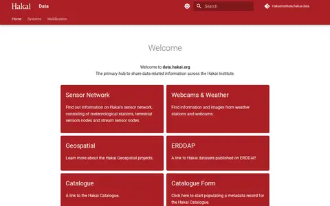
Hakai Data is the Hakai Institute's hub for sharing data-related information. It links to the institute's sensor network of meteorological stations, terrestrial sensor nodes and stream sensor nodes, plus webcams and weather stations, geospatial projects, oceanography projects and datasets published on ERDDAP. It also links to the Hakai Catalogue and a form for populating metadata records.
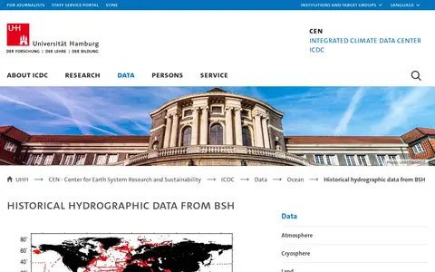
The ICDC at the University of Hamburg provides historical hydrographic data from the German Maritime and Hydrographic Agency (BSH). The dataset contains about 7391 digitized temperature and salinity profiles from Nansen casts, covering 1869 to 1969. Data are original and not validated, available via FTP unrestricted or restricted to CEN/MPI networks or external users with an account. Licensed CC-BY-4.0.
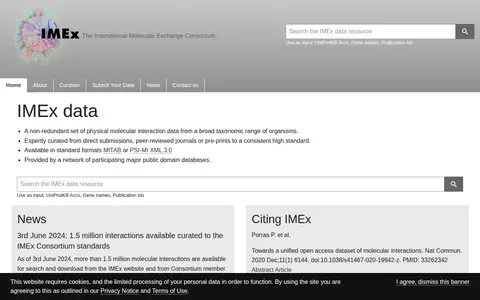
IMEx data is a non-redundant set of physical molecular interaction data curated from direct submissions, peer-reviewed journals or pre-prints. It is available in MITAB or PSI-MI XML 3.0 formats and provided by a network of participating public domain databases.
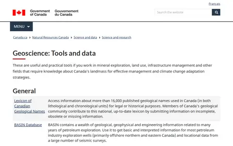
A Natural Resources Canada geoscience tools and data page that gathers geological, geophysical and geochemical resources. It includes a lexicon of Canadian geological names, petroleum exploration databases, geochemical surveys, geophysical data repositories, groundwater and permafrost networks, and marine geoscience databases and map services.
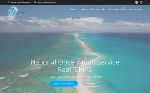
ReefTEMPS is a national observation service and network for tropical island coastal waters. It provides delayed-time and real-time data, lists partner data producers, and offers a real-time data access API and a SensorThing API, along with papers, a catalog and documentation.
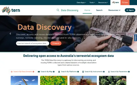
Search biology data collections and supporting datasets from AUS.
CanWIN is the data centre for the Centre for Earth Observation Science at the University of Manitoba. The repository holds datasets, projects and publications on watershed, freshwater, marine and atmospheric topics, searchable by theme or map, and supports data discovery, submission and download.
Block explorer for Datacore Smart Chain, showing transactions, blocks, addresses, tokens, and network activity.
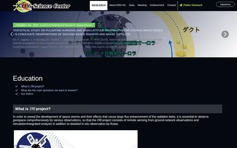
The ERG Science Center is run by ISAS/JAXA and ISEE, Nagoya University, as a joint research center for space science. It archives data related to the ERG project and releases the data. The project combines Arase satellite in-situ observation with ground-network remote sensing and simulation or integrated analysis to study space storms and radiation belt flux enhancement.
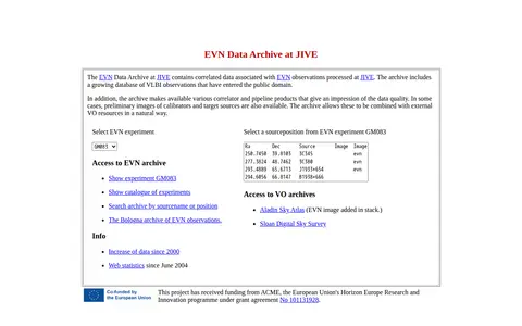
Research data portal for exploring astrophysics and astronomy records, including datasets.
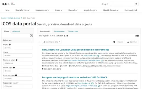
The ICOS Carbon Portal is the data access point for the Integrated Carbon Observation System (ICOS), a network measuring atmospheric, ecosystem, and ocean greenhouse gas data across European member countries. It provides access to raw and processed measurement datasets, along with tools including STILT atmospheric transport modeling, DOI minting, and SPARQL querying to support climate change and emissions research.
The Institut d'Astronomie et d'Astrophysique at Université Libre de Bruxelles maintains databases for nuclear and spectroscopic data relevant to astrophysics. Listed resources include BRUSLIB, a collection of nuclear data, NetGen, a tool for generating nuclear-reaction rates on user-defined networks, and an updated compilation of reaction rates. Spectroscopic databases and molecular linelists are also listed.
INTERMAGNET is a global network of cooperating digital magnetic observatories that monitor the Earth's magnetic field. The site provides data and information from geomagnetic observatories worldwide, including data downloads, plots, formats and quality checking. The programme seeks to promote modern standards for measuring and recording the Earth's magnetic field and to aid in establishing new observatories or upgrading existing ones.
The National Earthquake DataBase (NEDB) is a set of separate databases forming the national repository for raw seismograph data, measurements and derived parameters from Canadian and other seismograph networks. Its Parameters database holds information on Canadian earthquakes since the 16th century, and its Stations database holds seismograph station data.
Research data portal for exploring atmospheric records, including observational data.
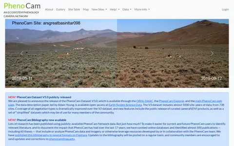
PhenoCam is a cooperative continental-scale phenological observatory that uses imagery from networked digital cameras to track vegetation phenology across ecosystems. Its image archive includes over 60 million pictures, and imagery and data are made publicly available in near-real time. The PhenoCam Dataset V3.0 includes almost 5000 site-years of data from 738 sites.
biodiversity.aq is the SCAR Antarctic Biodiversity Portal. It enables searching for Antarctic biodiversity occurrence records, aggregates data from SCAR and OBIS networks, and provides access to online tools, resources including identification keys, and news related to Antarctic biodiversity and climate observation initiatives.
Search biology data collections and supporting datasets from CHN.
Search computer, systems and electrical engineering data collections and supporting datasets from AUT.
Historical repository preserving earthquake engineering data and digital infrastructure. Established at Purdue University in 2014 after the Network for Earthquake Engineering Simulation ended, it now serves as a repository of file collections without the interactive tools formerly available. Maintained by the University of Canterbury's Department of Civil and Environmental Engineering.
Datai is a modular data layer for on-chain AI. It aggregates data from multiple blockchains and processes it through machine learning models to classify smart contracts and provide structured insights. The network uses a three-layer architecture with indexer nodes operated by node providers. Developers can contribute projections to expand data coverage; the currently supported projection type is DeFi Active Positions.