mathcha.io
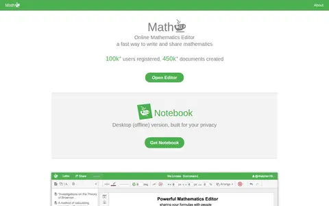
Mathcha is an educational resource for learning science, history, language, geography, or general knowledge.
Directory
Published directory entries matching your search.
Mathcha is an educational resource for learning science, history, language, geography, or general knowledge.

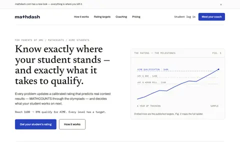
MathDash is an educational resource for learning science, history, language, geography, or general knowledge.

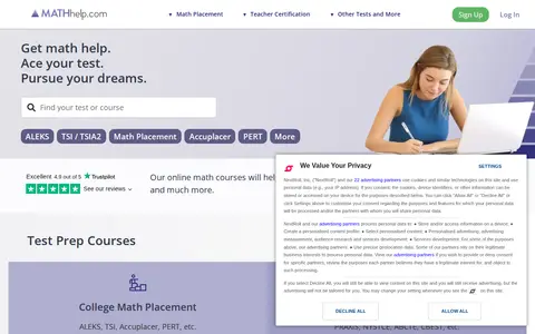
mathhelp is an educational resource for learning science, history, language, geography, or general knowledge.
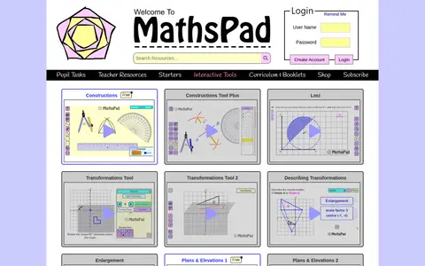
Mathspad is an educational resource for learning science, history, language, geography, or general knowledge.
Memorize Earth is a Jeopardy-style geography trainer covering countries, capitals, U.S. states, Canadian provinces, flags, oceans, mountain ranges, and presidents. Players pick a value, take the clue and clear the board. The site describes the game as extremely difficult and tracks progress over time in the browser.

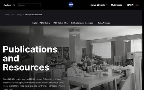
NASA History is an educational resource for learning science, history, language, geography, or general knowledge.

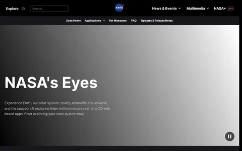
NASA's Eyes is an educational resource for learning science, history, language, geography, or general knowledge.

Nasahistory is an educational resource for learning science, history, language, geography, or general knowledge.

Science, nature, wildlife, history, and geography video and article resource from National Geographic.
Natural History Museum is an educational resource for learning science, history, language, geography, or general knowledge.
NC OneMap is a strategic geographic data resource serving the state of North Carolina, offering a collection of authoritative geospatial data and web services. It is a collaborative effort involving local, state, and federal government agencies, private sector organizations, and academic institutions. Users can search or browse available data, use it in their own applications, analyze it with external tools, or build applications using the platform’s APIs.

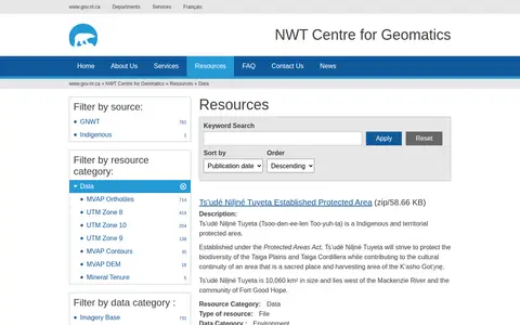
The NWT Centre for Geomatics provides downloadable data resources for the Northwest Territories, including zip files for established and proposed protected areas and highway distance markers, and a linked Boreal Caribou range planning data package. Sources are listed as GNWT.

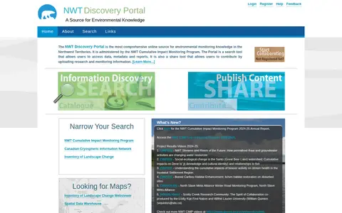
The NWT Discovery Portal is administered by the NWT Cumulative Impact Monitoring Program, and serves as a comprehensive online source for environmental monitoring knowledge in the Northwest Territories. It functions as a search tool for environmental data, metadata and reports, and allows users to upload and share research and monitoring information.
Find published open datasets through filters, categories and keyword search.
Searchable repository for finding geography datasets and datasets.

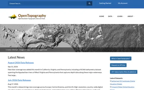
OpenTopography is a platform providing high-resolution topography data and tools, including lidar point clouds, digital elevation models and hillshade imagery. It offers data discovery, programmatic access to raster DEM datasets through a STAC catalog, and a Point Elevation API returning elevation for any location from global and regional datasets.

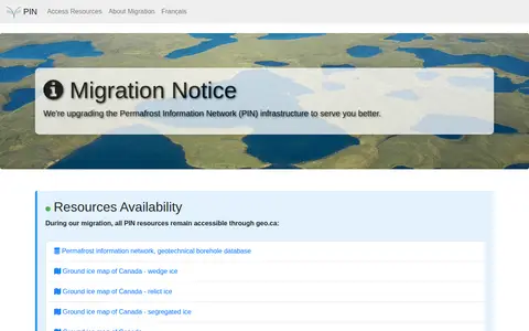
The Permafrost Information Network is an online resource covering permafrost topics. A migration notice states that the network's infrastructure is being upgraded and that its resources remain accessible through geo.ca during the migration. Listed resources include the permafrost information network, a geotechnical borehole database, and ground ice maps of Canada for wedge ice, relict ice, and segregated ice.

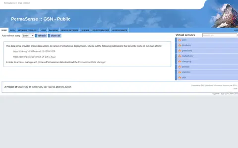
This data portal provides online access to data from various PermaSense deployments. Virtual sensors load data with an auto-refresh interval the user can set. Accessing, managing and processing PermaSense data requires downloading the PermaSense Data Manager. The project involves the University of Innsbruck, SLF Davos and Uni Zurich, and is powered by GSN from the Distributed Information Systems Lab at EPFL.

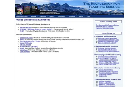
Physics Simulations is an educational resource for learning science, history, language, geography, or general knowledge.

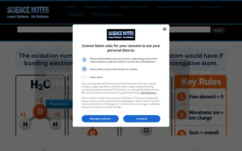
Sciencenotes is an educational resource for learning science, history, language, geography, or general knowledge.

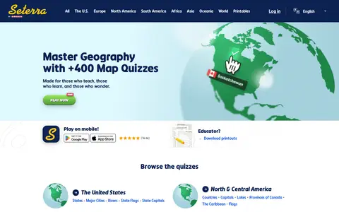
Seterra is a free map quiz site offering over 400 quizzes that cover countries, capitals, flags, cities, rivers, mountains and other geography topics. The site also offers quizzes on anatomy and science, and printable downloads for educators. It can be played on mobile devices.
SmartHistory is an educational resource for learning science, history, language, geography, or general knowledge.

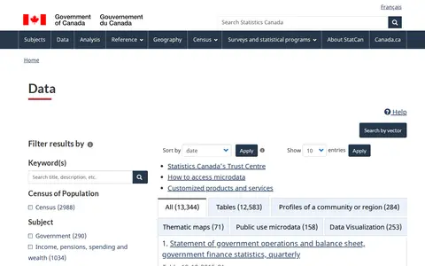
Statistics Canada's data portal provides statistical information such as tables, microdata and data visualizations. The listing groups results by type, including tables, profiles of a community or region, and microdata. Users can filter results by subject, geography, frequency and survey or statistical program.

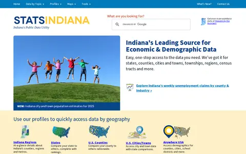
STATS Indiana is a public data source providing economic and demographic statistics for Indiana and for states, counties, cities, towns, townships, regions and census tracts across the U.S. It offers geography profiles, popular topic listings such as population and unemployment, and a portal for local government budget data.