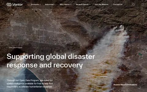

Vantor's Open Data Program provides free satellite imagery and spatial intelligence to first responders for disaster response and recovery. Imagery is released before and after events into the public domain under a Creative Commons BY-NC 4.0 license. The program activates when a sudden onset disaster is categorized as major and a Vantor FirstLook event service has been activated.
Directory
Search results
Published directory entries matching your search.
Filters
vantor.com
aware-online.com
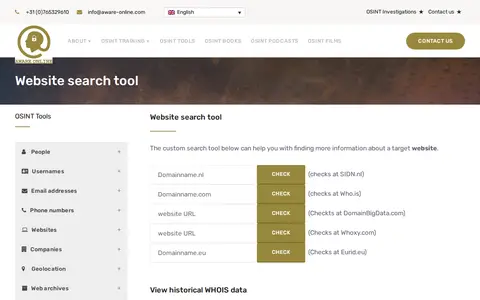
A custom OSINT tool from Aware Online Academy for investigating a target website. It provides scripts to view historical WHOIS data, check website text and source code on third-party sites, visualise links, map web pages, check Reddit presence, find open FTP ports and find other top level domains.
zoomeye.org
Cyberspace search engine for finding internet-connected assets, devices, and exposed services.