Directory

Search results

Published directory entries matching your search.

Search results

55 listings
regional-district-of-north-okanagan-gis-open-data-site-rdnogis.hub.arcgis.com

The Regional District of North Okanagan GIS Open Data Site lets users discover, analyze and download geographic data. It offers downloads in CSV, KML, Zip, GeoJSON, GeoTIFF or PNG, API links for GeoServices, WMS and WFS, analysis with charts and thematic maps, and creation of StoryMaps and Web Maps.
Dataset & Data Search 0
catalogue.ogsl.ca

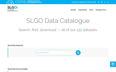
The SLGO Data Catalogue lets users search, find and download 433 datasets. Datasets are organised by ocean variable, including bioecosystems, biogeochemical, cross-disciplinary and physical ocean groupings, and can be found by keyword or ocean variable. A further 219 datasets relate to other fields.

Dataset & Data Search 0

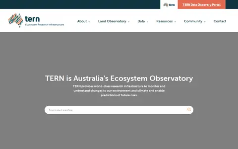
TERN is Australia's Terrestrial Ecosystem Research Network. It provides model-ready terrestrial ecosystem data for research and describes itself as Australia's Ecosystem Observatory. Its Data Discovery Portal supports discovery, access and reuse of datasets from TERN observatory measurements, including site surveys, remote sensing, model-derived and in-situ sensor data. Data infrastructure includes a cloud-based virtual desktop and tools for data submission and landscape-scale dataset analysis.

Dataset & Data Search 0
docs.unidata.ucar.edu

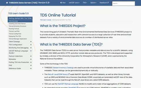
The THREDDS Data Server (TDS) is a web server that provides metadata and data access for scientific datasets using OPeNDAP, OGC WMS and WCS, HTTP and other remote data access protocols. It is developed and supported by Unidata, a division of UCAR, and the documentation covers installation, configuration, catalogs, NcML and security.

Dataset & Data Search 0
ramadda.unidata.ucar.edu

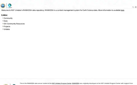
RAMADDA is presented as a content management system for Earth Science data, hosted at the NSF Unidata Program Center. The site is described as NSF Unidata's RAMADDA data repository and notes that RAMADDA was originally developed at the NSF Unidata Program Center with support from the National Science Foundation.

Dataset & Data Search 0
waterqualitydata.us

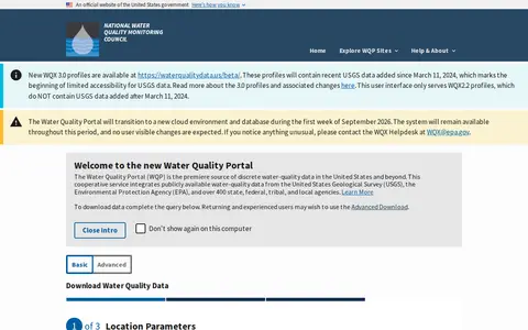
The Water Quality Portal is a cooperative service that integrates publicly available water-quality data from the United States Geological Survey, the Environmental Protection Agency, and over 400 state, federal, tribal, and local agencies. Users can download data by completing a basic query or using an advanced download option.

Dataset & Data Search 0
world-stress-map.org

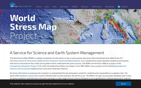
The World Stress Map is a global compilation of information on the crustal present-day stress field, maintained since 2009 at the GFZ Helmholtz Centre for Geosciences. It is an open-access database with stress information compiled in a standardized, quality-ranked format. The 2025 database release contains 100,842 data records in the Earth's crust.

Dataset & Data Search 0