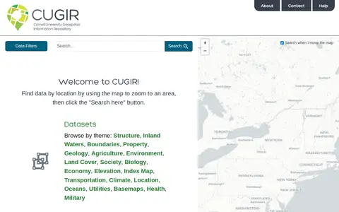
CUGIR is a repository offering datasets and scanned maps. Datasets can be browsed by theme or found by zooming a map to an area and clicking a search button. Themes include boundaries, geology, agriculture, land cover, transportation, climate and elevation. The scanned maps section provides access to all map holdings.
Directory
Search results
Published directory entries matching your search.
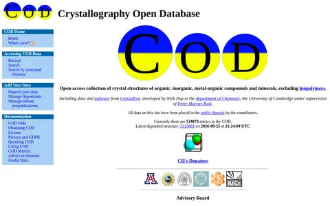
The Crystallography Open Database is an open-access collection of crystal structures of organic, inorganic, metal-organic compounds and minerals, excluding biopolymers. It provides browsing and searching, including search by structural formula and JSME search, and accepts deposited data. The site reports 535015 entries. All data and the database are dedicated to the public domain under the CC0 license.

CUAHSI is a nonprofit research organization representing over 130 U.S. universities and international water science organizations, supported by the National Science Foundation to develop infrastructure and services for water science. Its data services include HydroShare, an online collaboration environment for sharing data, models, and code, and a Hydrologic Information System for finding, downloading, and visualizing data.
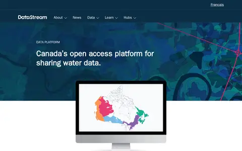
DataStream is an open access platform for sharing water and sediment quality data. It offers map-based search, interactive visualizations, standardized machine-readable datasets, dataset versioning, digital object identifiers, embargo periods and API access for integrating data with other websites and tools. A one-click charting tool allows comparison of results with national water quality guidelines.
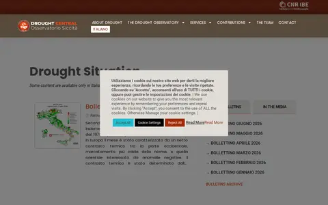
Drought Central is a drought observatory by CNR IBE that publishes drought situation bulletins and a WebGIS. The site notes that some content is available only in Italian and includes a bulletins archive, press review, and X profile links.
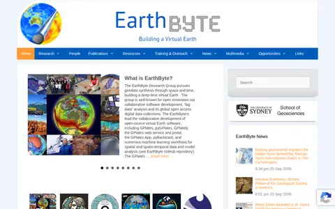
EarthByte is a research group at the University of Sydney's School of Geosciences. It pursues geodata synthesis through space and time, building a deep-time virtual Earth, and is known for collaborative software development, big data analysis and open access digital data collections. It leads development of open-source virtual Earth software including GPlates and pyGPlates.
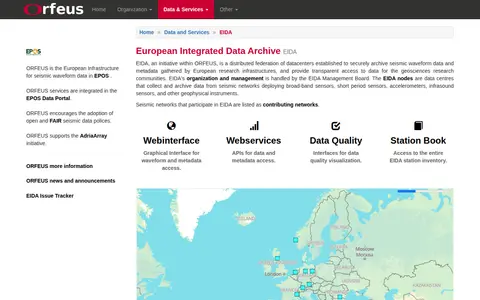
EIDA (European Integrated Data Archive) is an initiative within ORFEUS, the European infrastructure for seismic waveform data integrated into the EPOS Data Portal. It is a distributed federation of data centers that securely archives seismic waveform data and metadata collected by European research infrastructures, and provides transparent access to these resources for geosciences research communities. Organization and management of EIDA are handled by the EIDA Management Board.
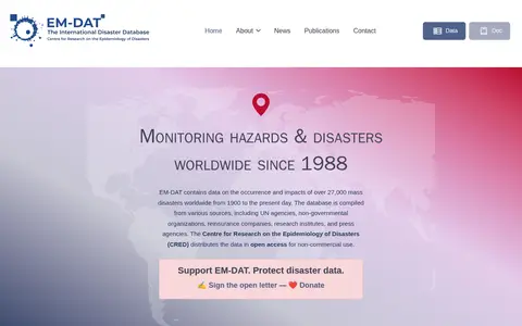
EM-DAT is a global database of over 27,000 mass disasters from 1900 to the present day, compiled from sources including UN agencies, NGOs and press agencies. It records human and economic losses at country level and classifies disasters into natural and technological hazards. The data is distributed by CRED and is open access for non-commercial use.
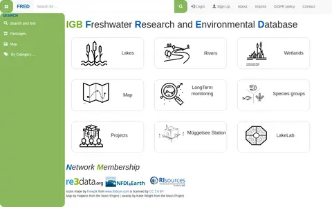
FRED (Freshwater Research and Environmental Database) is a data repository focused on freshwater research. It provides access to datasets related to lakes, rivers, wetlands, long-term monitoring, and species groups. Users can search by categories, view maps of study sites, sampling locations, parameters, and access project information and DOIs.
GeoCommons Archive is a community-contributed collection of open data from around the world, often sourced from public and open government websites. The searchable archive holds over 150,000 datasets as GeoJSON stored in GitHub, available to preview, download or explore in ArcGIS.com.
GeoGratis / GéoGratis is a bilingual Government of Canada portal for searching, discovering and downloading free maps, cartographic data, imagery and publications, with separate English and French interfaces and terms and conditions of use.
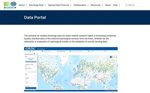
The GRDC Data Portal is a web-based tool for searching and visualising runoff stations and time series data in map and table view. Users select stations, regions, subregions or countries and download data in six formats, with optional subregion or watershed boundaries. Hydrological data are released only for research purposes; commercial use and redistribution are not allowed.
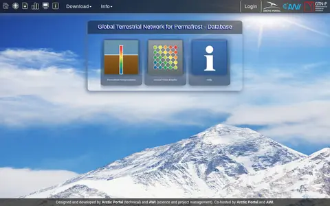
Global Terrestrial Network for Permafrost (GTN-P) Data Management System contains metadata and quality-controlled data on permafrost temperatures and annual thaw depths. The database, currently in beta, offers access to permafrost temperature and active layer data. It is co-hosted by the Arctic Portal and the Alfred Wegener Institute (AWI).
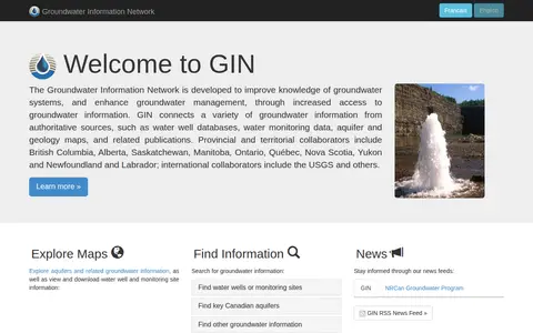
Groundwater Information Network (GIN) is a resource for exploring and accessing groundwater data. It provides maps for exploring aquifers and related groundwater information, and allows users to view and download water well and monitoring site information.
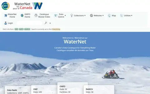
GWFNet, operating as WaterNet, is Canada's national information resource for water data. It hosts a catalogue of water data, publications and observatories, with features to search for data by variable or site, view near-realtime telemetry, and access collections from initiatives including the Global Water Futures Observatories, Changing Cold Regions Network and other related water research programs.
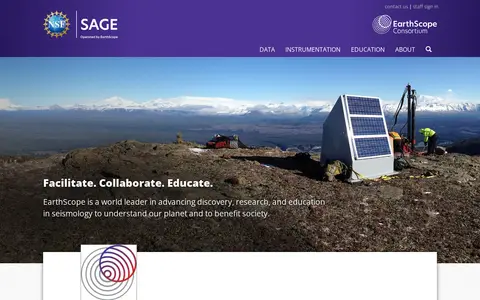
EarthScope Consortium operates the SAGE Seismological Facility for the Advancement of Geoscience, a distributed, multi-user national facility providing seismic and related geophysical instrumentation and services to support research and education in the geosciences. IRIS has merged with UNAVCO to form EarthScope Consortium.
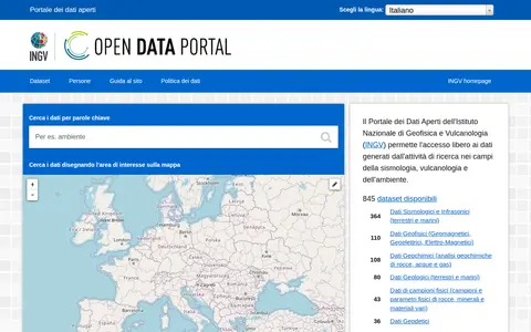
The INGV Open Data Portal provides public access to metadata from the institutional Data Registry of the Istituto Nazionale di Geofisica e Vulcanologia, covering research data in seismology, volcanology and environment. Data are attributed to their authors and can be searched by keyword or by drawing an area on a map; datasets are listed by availability of web services for programmatic access.
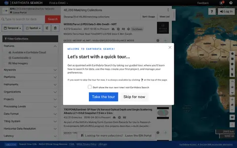
Earthdata Search is a browser-based tool for searching, discovering, visualizing, refining and accessing NASA Earth Observation data, offered through the IDN portal. The page requires JavaScript and a current browser; it notes an accessible alternative called Earthdata Access for users who need it.
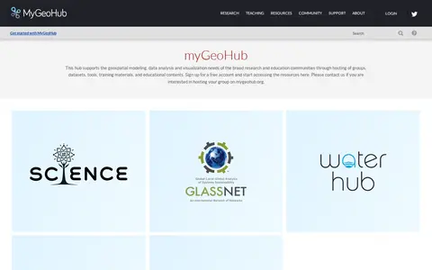
MyGeoHub is a hub built on the HUBzero platform that supports geospatial modeling, data analysis and visualization for research and education communities. It hosts groups, datasets, tools, training materials and educational content, and offers a free account for accessing resources. It also allows groups to be hosted on the site.
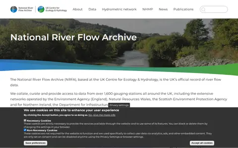
The National River Flow Archive is based at the UK Centre for Ecology & Hydrology and describes itself as the UK's official record of river flow data. It collates and provides access to data from over 1,600 gauging stations across the UK, with some records going back to the nineteenth century. Data are used to assess water availability and climate change impacts.
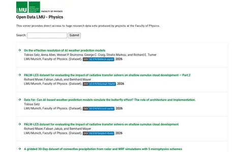
A server providing direct access to research data sets produced by projects at the Faculty of Physics at LMU Munich. Listed datasets cover topics such as AI weather prediction models, radiative transfer solvers, convective precipitation, and perovskite nanocrystals.
ORDaR is the institutional research data repository for Lorraine's geosciences. Its thematic coverage includes Earth dynamics, Earth chemistry, mineral and energy resources, the resource cycle, deep geological waste disposal, hydromechanics, soil and subsoil environmental management, water, ecotoxicology and biodiversity.
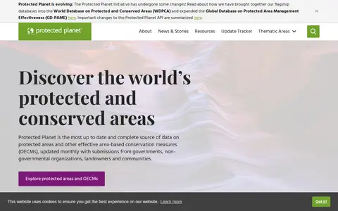
Protected Planet is a source of data on protected areas and other effective area-based conservation measures, updated monthly with submissions from governments, organisations, landowners and communities. It provides figures on global terrestrial, inland water and marine coverage. It also covers the ICCA Registry, an online platform where indigenous peoples and local communities provide data, case studies, maps, photos and stories.
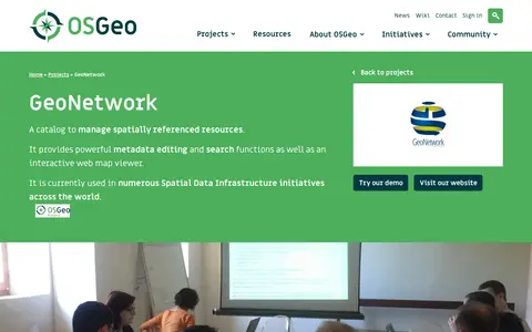
Public Geodata Repository refers to GeoNetwork, an open source data catalog designed for spatial data infrastructures. It offers metadata editing and search functionalities, and is listed as a community project under the Metadata Catalogs category by the Open Source Geospatial Foundation (OSGeo).