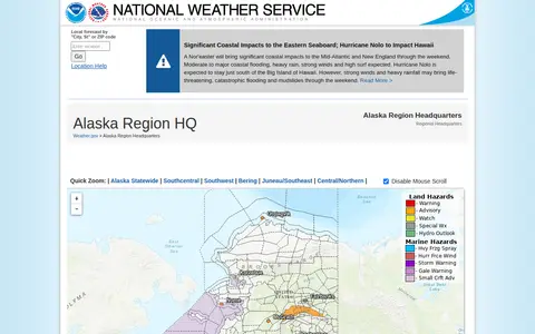

The Alaska Region Headquarters of the National Weather Service provides regional weather forecasts and warnings. The page links to forecast offices in Anchorage, Fairbanks and Juneau, plus information on sea ice, marine weather, fire weather, aviation forecasts, river forecasts and tsunami information from the National Tsunami Warning Center. It also lists current hazards, observations, radar and climate data.
Directory
Search results
Published directory entries matching your search.
Filters
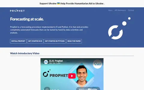

facebook.github.io
Prophet is a forecasting procedure implemented in R and Python. It provides automated forecasts that can be tuned by hand, and is based on an additive model with non-linear trends and yearly, weekly and daily seasonality plus holiday effects. Facebook released it as open source, available on CRAN and PyPI.

satellites.pro
Online world map service offering a satellite view of the Earth with labels, a ruler, place sharing, search and locating. It also lists route planning, state boundary tracking, city lists for each state and weather forecast.
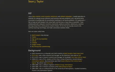
seanjtaylor.com
Personal site of Sean J. Taylor, who describes himself as a data scientist, social scientist, statistician, and software developer. It links to his background, videos and podcasts, and writing on data science, social science, experimentation and statistics, forecasting, and software. The page also notes he is a co-founder and chief scientist at Motif Analytics.
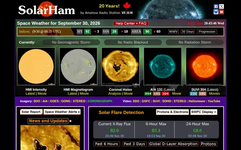

solarham.com
SolarHam is a space weather and aurora website founded in 2006. It provides real time data and new updates, including solar indices, imagery, flare probabilities and geomagnetic forecasts. Its help center explains space weather terms such as coronal holes, coronal mass ejections and geomagnetic storms, and notes that the section is being built.
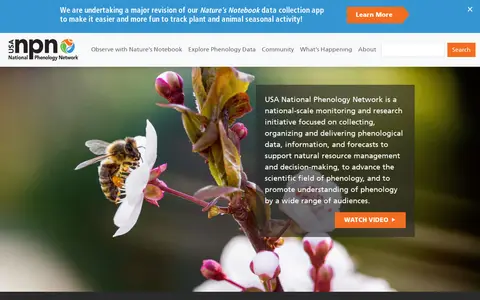

usanpn.org
The USA National Phenology Network is a national-scale monitoring and research initiative. It collects, organizes and delivers phenological data, information, and forecasts to support natural resource management and decision-making, to advance the scientific field of phenology, and to promote understanding of phenology by a wide range of audiences.
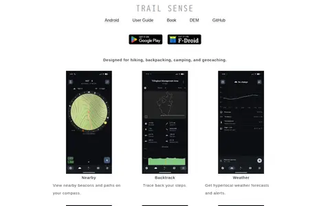
kylecorry.com
Trail Sense is an offline Android application designed for hiking, backpacking, camping, and geocaching. It offers tools including nearby beacon and path viewing, step backtracking, hyperlocal weather forecasts and alerts, sun and moon position tracking, photo-based offline maps, flashlight, clinometer, and packing lists. No user data is transmitted from the device, and the app does not require internet connectivity. It is distributed under the MIT License, and its developers state it is for informational purposes only and should not be relied on as a sole resource for survival activities.

tropicalcyclone.jpl.nasa.gov
The JPL Tropical Cyclone Information System supports hurricane research and forecasting. It offers near-real-time portals that combine model forecasts with multi-parameter satellite and airborne observations, providing interactive visualization and online analysis tools. The system also hosts a 12-year global archive of multi-satellite hurricane observations.
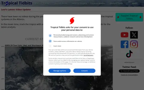

tropicaltidbits.com
Tropical Tidbits provides tropical weather and Atlantic hurricane information, analysis and forecasts, presented by Levi Cowan. The site includes sections for current storms, aircraft reconnaissance, satellite imagery, forecast models and analysis tools.

twcclassics.com
TWC Classics is a fan site devoted to The Weather Channel, created in summer 1997. It collects audio, video, images and information about the channel's history and its local forecast music, and states that it is not an official site.
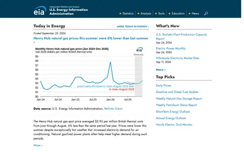

The U.S. Energy Information Administration is the official source of U.S. government energy statistics. It publishes data and analysis on petroleum, natural gas, electricity, coal, nuclear, uranium and renewable fuels, along with state and international energy information and short- and long-term forecasts. It also offers open data as an API, Excel add-in and bulk files.


nd.edu
The University of Notre Dame is a private research university inspired by its Catholic character. Its research and scholarship address topics including disease prevention, clean water access, robotic search and rescue, and hurricane forecasting.
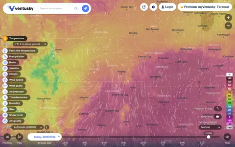

ventusky.com
Ventusky provides live weather maps showing wind, rain, radar and temperature, with over 50 weather layers and detailed forecasts. Data comes from weather forecast models including ECMWF, GFS, ICON and GEM.

wdc.nict.go.jp
The World Data Center for Ionosphere and Space Weather, operated by NICT, preserves and distributes ionospheric and space weather data. Its holdings include Japanese and Antarctic ionospheric observations dating from 1957-1958 and space weather forecast data. Data is offered through monthly and yearly reports, ionosonde data, handwritten records, a historical viewer and a solar flare database.
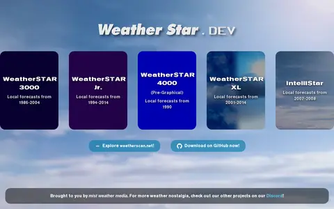

weatherstar.dev
WeatherSTAR simulators curated by Mist Weather Media, recreating local forecast systems from past years. Listed simulators include WeatherSTAR 3000 (1986-2004), WeatherSTAR Jr. (1994-2014), WeatherSTAR 4000 Pre-Graphical (1990), WeatherSTAR XL (2001-2014) and IntelliStar (2007-2008).
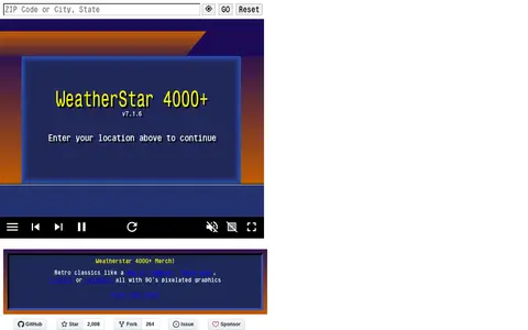
weatherstar.netbymatt.com
Web-based simulator of the WeatherStar 4000 that reports current and forecast weather conditions plus a few extras. Users enter a location to view displays such as current conditions, hourly and extended forecasts, local radar and almanac data. The page lists version 8.0.1.
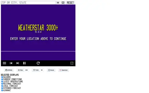

weatherstar3000.netbymatt.com
WeatherStar 3000+ is a web-based WeatherStar 3000 simulator that reports current and forecast weather conditions plus a few extras, according to its page. It takes a location entry and shows current conditions, forecasts and settings displays.

webcamtaxi.com
Webcamtaxi is a platform that aggregates free live high-definition webcam streams from locations worldwide. Users can access real-time footage of cities, natural landmarks, beaches, and breaking news events by selecting a location, interest category, or using an interactive map. The platform also provides local weather forecasts, climate data for destinations, and adds new webcam listings daily.
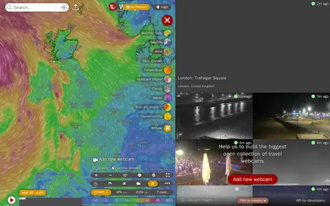

windy.com
Windy Webcams is a service that provides worldwide animated weather maps, wind and wave forecasts, weather radar, satellite imagery, and aviation weather data including METAR, TAF and NOTAM reports for various user groups.
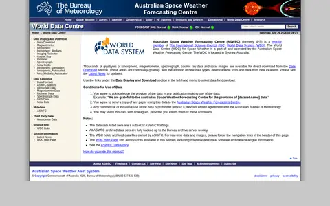

sws.bom.gov.au
The World Data Centre for Space Weather is part of and operated by the Australian Space Weather Forecasting Centre and is located in Sydney, Australia. It offers ionospheric, magnetometer, spectrograph, cosmic ray data and solar images for direct download, and provides software and data catalogue information. Commercial or industrial use of the data is prohibited without a previous written agreement.
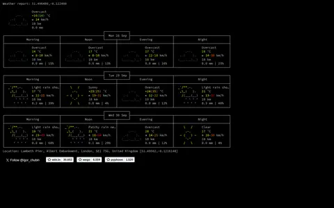

wttr.in
View weather forecasts as text.
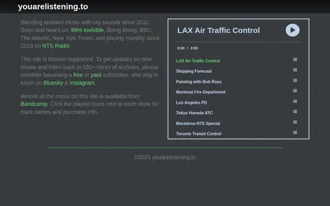

youarelistening.to
A listening site that blends ambient music with city sounds, a project running since 2011. It offers shows including air traffic control, shipping forecast and transit control recordings. Most music on the site is available from Bandcamp, and the site is listener-supported.

zoom.earth
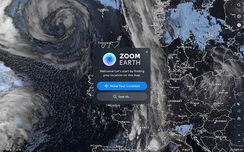
Zoom Earth is an interactive weather map of the world showing rain, wind, temperature and pressure, with forecasts for a selected location. It also offers satellite imagery, rain radar updated in near real time, hurricane and storm tracking, and wildfire and smoke monitoring. Mobile apps are available for iPhone, iPad and Android.