ArcGIS Hub site for discovering, analyzing and downloading data. It supports downloads in CSV, KML, Zip, GeoJSON, GeoTIFF and PNG formats, provides API links for GeoServices, WMS and WFS, and offers analysis with charts and thematic maps.

Directory
Search results
Published directory entries matching your search.
The HIFLD Open Portal is an ArcGIS Hub platform that allows users to discover, analyze, and download datasets in formats including CSV, KML, Zip, GeoJSON, GeoTIFF and PNG. It also provides access to geospatial service APIs, enables analysis with charts and thematic maps, and supports creation of StoryMaps and Web Maps.
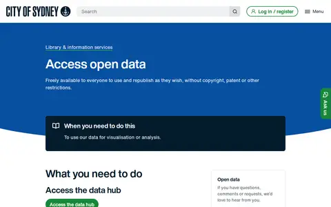
The City of Sydney provides an open data hub where datasets can be browsed and downloaded as spreadsheets, KML or shapefiles. Maps can be created to visualise and analyse trends, and data can be accessed programmatically through the ArcGIS API for JavaScript. The data is freely available to everyone to use and republish without copyright, patent or other restrictions.
GeoCommons Archive is a community-contributed collection of open data from around the world, often sourced from public and open government websites. The searchable archive holds over 150,000 datasets as GeoJSON stored in GitHub, available to preview, download or explore in ArcGIS.com.
ArcGIS Hub page for discovering, analyzing and downloading data. Files can be downloaded in CSV, KML, Zip, GeoJSON, GeoTIFF or PNG formats, and API links are provided for GeoServices, WMS and WFS. Analysis is available through charts and thematic maps, and users can create StoryMaps and Web Maps.
Search a government or civic data catalog for reusable public information.
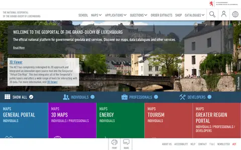
The national geoportal of the Grand-Duchy of Luxembourg is the official platform for governmental geodata and services. It provides maps, data catalogues, a 3D viewer and thematic portals, including energy, tourism, environment and the Greater region. Plugins let QGIS and ArcGIS Pro users search for a location, choose a basemap and add map layers or vector data.
The State of Idaho GIS Hub is an ArcGIS Hub site for exploring authoritative data, maps, applications and tools developed by Idaho's State Agencies. It also helps users find and explore authoritative datasets that are part of the Idaho Spatial Data Infrastructure (Idaho SDI).
Search a government or civic data catalog for reusable public information.
Public data portal for browsing datasets from Asheville, NC.
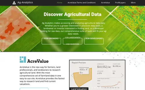
Ag-Analytics is a precision agriculture platform providing data tools for growers, landowners, investors and developers. It offers farmland valuation research through AcreValue, profit mapping via ProfitLayers, soil testing, an ArcGIS Pro add-in, water management services, on-demand drone imagery and DataLayers map layers. It also provides an acreage reporting system for submission to USDA agencies.
ArcGIS Hub site presenting Montana Fish, Wildlife and Parks GIS data for discovery, analysis and download. Data can be downloaded in CSV, KML, Zip, GeoJSON, GeoTIFF or PNG formats, and API links are available for GeoServices, WMS and WFS. Charts and thematic maps support analysis.
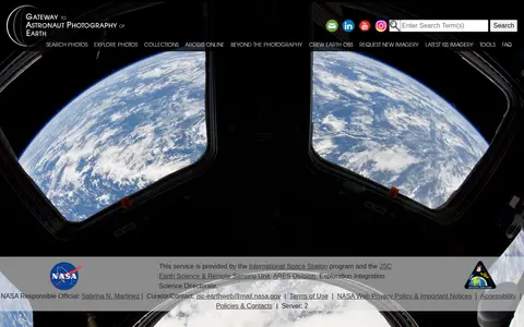
The Gateway to Astronaut Photography of Earth is a service provided by the International Space Station program and NASA's JSC Earth Science & Remote Sensing Unit. It offers access to searchable astronaut photography of Earth, including photo collections, ArcGIS Online resources, and latest International Space Station imagery, alongside tools and FAQ content.