
SpaceFromSpace is an archive of satellite imagery that includes declassified Cold War reconnaissance photographs and modern spaceport views. Images are stitched and georeferenced from raw USGS datasets and presented on interactive maps, with galleries covering declassified, spaceport and recently added scenes.
Directory
Search results
Published directory entries matching your search.
Filters
spacefromspace.com
windy.com
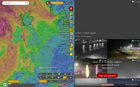
Windy Webcams is a service that provides worldwide animated weather maps, wind and wave forecasts, weather radar, satellite imagery, and aviation weather data including METAR, TAF and NOTAM reports for various user groups.
zoom.earth
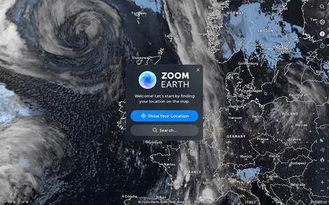
Zoom Earth is an interactive weather map of the world showing rain, wind, temperature and pressure, with forecasts for a selected location. It also offers satellite imagery, rain radar updated in near real time, hurricane and storm tracking, and wildfire and smoke monitoring. Mobile apps are available for iPhone, iPad and Android.