Directory

Search results

Published directory entries matching your search.

Search results

43 listings

The Barrow Area Information Database (BAID) is a resource for learning about data collection activities in the Barrow area on the North Slope of Alaska. Its team collaborates with scientists and the local community to compile and share information through online web mapping applications. Applications cover historical imagery, coastal erosion, community planning and research sites.

Dataset & Data Search 0
getchipdrop.com

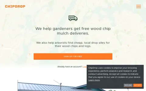
ChipDrop matches gardeners who want free wood chip mulch with arborists and tree companies seeking to get rid of wood chips and logs. Gardeners sign up and place a request to join a neighborhood list; a local tree trimming company in the area might deliver a load. Arborists can view a map on a phone to find dump spots.

Gardening & Agriculture 0
brownbook.net

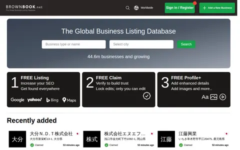
Brownbook is a global business listing database. It offers free business listings for search engine optimization and to help businesses get found on search engines including Google, Yahoo, Bing, Ask, and AOL. Users can also use free claim and free profile options to add enhanced details and images to their listings. The database contains over 44.6 million businesses and is growing.

Search Engines & Tools 0
indiadataportal.com

India Data Portal is a search and discovery site for India's public datasets, presented under FAIR principles. It offers visualization tools such as bar, line, pie, table, scatter and map views, allows users to merge datasets using local directory codes, upload their own data for visualization, and download complete data. Public government datasets are accessible without a paywall.

Dataset & Data Search 0
data.kingston.gov.uk

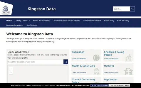
Kingston Data is a site from the Royal Borough of Kingston upon Thames Council that gathers local data and information for insight into the borough and comparisons locally and nationally. It offers a ward profile search by postcode or ward name or map click, plus themes including population, children and young people, health and social care, housing, crime and community safety, deprivation, economy and employment, and environment.

Dataset & Data Search 0

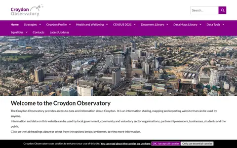
The Croydon Observatory is an information sharing, mapping and reporting website providing access to data and information about Croydon. It is intended for local government, community and voluntary organisations, partnership members, businesses, students and the public, with data viewable by themes such as population, economy and employment, housing, crime and health. Ward data uses a best fit approach for the 28 new wards.

Dataset & Data Search 0
mapquest.com

MapQuest provides maps, route planning, driving directions, traffic, and local place search.

Maps & Navigation 0
opendatakerala.org

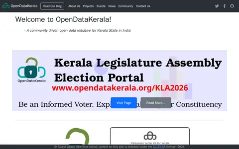
OpenDataKerala is a community-driven open data initiative serving Kerala State in India. It manages projects including local self-government election data, open geographic portals, and open mapping initiatives, and organizes events such as Wikiconference Kerala, State of the Map Kerala, and Open Data Days.

Dataset & Data Search 0
osintracker.com

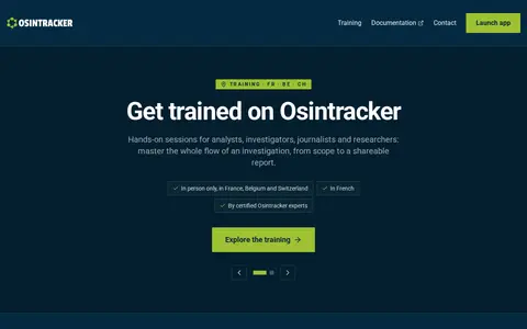
Osintracker is a browser-based OSINT investigation platform. It maps entities and their relationships in an interactive graph and stores all investigation data locally. Users can run matched OSINT resources and import connector results to expand the graph, then export to HTML, Markdown, CSV, JSON or PNG.

Research & Discovery Tools 0
Preview unavailable
privatiser.net

Privatiser anonymizes IPs, API keys, passwords, PII and cloud identifiers before text is pasted into AI tools. It runs in the browser with local processing, preserves structure, and offers a reversible mapping to restore values in replies. It is free and open source.

AI Tools & Directories 0
protectedplanet.net

Protected Planet is a source of data on protected areas and other effective area-based conservation measures, updated monthly with submissions from governments, organisations, landowners and communities. It provides figures on global terrestrial, inland water and marine coverage. It also covers the ICCA Registry, an online platform where indigenous peoples and local communities provide data, case studies, maps, photos and stories.

Dataset & Data Search 0
opendata.durham.ca

Durham open-data portal for searching municipal datasets, maps, and local government information.

Canadian Government Records 0
sandboxie-plus.com

Sandboxie-Plus is open source sandbox-based isolation software for 32-bit and 64-bit Windows NT-based operating systems. It creates an isolated operating environment in which applications can be run or installed without permanently modifying the local or mapped drive, allowing controlled testing of untrusted programs and web surfing. Development has continued under David Xanatos since the project became open source. Two builds exist: Classic with an MFC-based UI and Plus with a Qt-based UI.

Malware Protection 0
spatialdata.dhsprogram.com

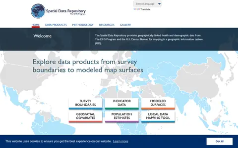
The Spatial Data Repository provides geographically linked health and demographic data from The DHS Program and the U.S. Census Bureau for mapping in a geographic information system. Data products include survey boundaries, indicator data, modeled map surfaces, geospatial covariates, population estimates, and a local data mapping tool.

Dataset & Data Search 0
apps.esri.ca

Esri map showing Toronto live layers, city activity, services, and local geographic data.

Geolocation Tools 0

Twiangulate is a tool for search, analytics and mapping of connections between Twitter friends and followers. It is used to find which accounts are followed by key people and to see which accounts are most followed by members of a group. The site also points to a sister site, skyangles.com, for analyzing Bluesky's local networks.

X / Twitter 0
Preview unavailable
webcamtaxi.com

Webcamtaxi is a platform that aggregates free live high-definition webcam streams from locations worldwide. Users can access real-time footage of cities, natural landmarks, beaches, and breaking news events by selecting a location, interest category, or using an interactive map. The platform also provides local weather forecasts, climate data for destinations, and adds new webcam listings daily.

Fun & Interesting 0

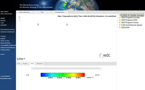
The World Data Center for Remote Sensing of the Atmosphere operates the WDC-RSAT Map Viewer tool. Its website links to related services including EOC GEOservice, NDMC, BioCliS, LISA, AlpAirEO, DLR internal services and Dynamics Dashboard, provides local weather data for Oberpfaffenhofen, and includes pages for contact, imprint, terms of use, accessibility statement and privacy policy.

Dataset & Data Search 0
Preview unavailable
yandex.com

Yandex Maps offers maps, routing, traffic, transit, business listings, and local place search.

Maps & Navigation 0