openphacts.org
Browse research datasets and datasets related to basic in biology and medicine.
Directory
Published directory entries matching your search.
Browse research datasets and datasets related to basic in biology and medicine.
Find published open datasets through filters, categories and keyword search.
open-loiret.opendata.arcgis.com is an ArcGIS Hub site that provides access to geospatial datasets. Users can discover, analyze and download data in formats including CSV, KML, Zip, GeoJSON, GeoTIFF and PNG. The site offers API links for GeoServices, WMS and WFS, and supports the creation of StoryMaps and Web Maps.

Browse research datasets and datasets related to agriculture, forestry and veterinary medicine.
Socrata open-data portal for browsing public datasets from cities, governments, and organizations.
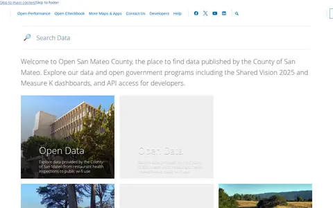
Open data portal for searching and downloading public datasets.

Find published open datasets through filters, categories and keyword search.
Open data portal for searching and downloading public datasets.

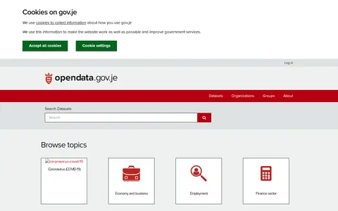
opendata.gov.je is the official open data portal of the Government of Jersey. It provides public access to government datasets, which users can search or browse by topic. Available topic categories include coronavirus (COVID-19), economy and business, employment, finance sector, health statistics, housing, income and earnings, and population and society. The portal also includes information about datasets, publishing organizations and user groups.

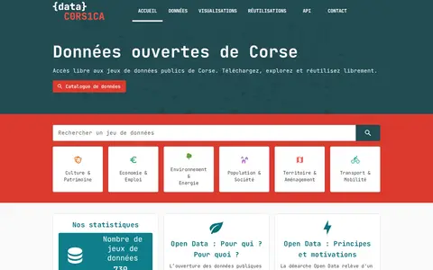
Open data portal for searching and downloading public datasets.

Find published open datasets through filters, categories and keyword search.

Find published open datasets through filters, categories and keyword search.
Find published open datasets through filters, categories and keyword search.
Find published open datasets through filters, categories and keyword search.

Searchable repository for finding biology datasets and datasets.
Open data portal for searching and downloading public datasets.

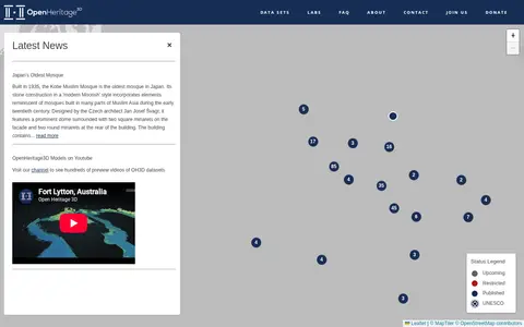
OpenHeritage 3D is a platform that hosts 3D datasets of heritage sites. It publishes news about heritage locations, provides access to its datasets, and operates a YouTube channel with hundreds of preview videos of its 3D heritage models. The platform also offers labs, an FAQ, contact information, and accepts donations.
Browse public datasets, metadata and downloadable records in an open catalog.
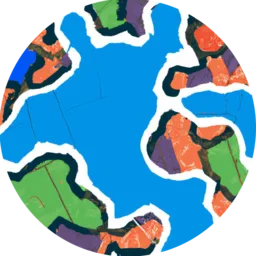
Searchable repository for finding geography datasets and datasets.
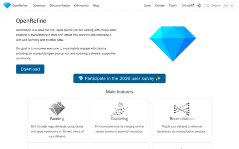
OpenRefine is a free, open source tool for working with messy data. It enables users to clean data, transform it between formats, and extend it with web services and external data. All data processing occurs locally on the user's machine rather than in cloud services. Key features include faceting to drill through large datasets, clustering to fix inconsistencies by merging similar values, reconciliation to match datasets to external databases, infinite undo/redo functionality, and support for contributing to Wikidata and other Wikibase instances.

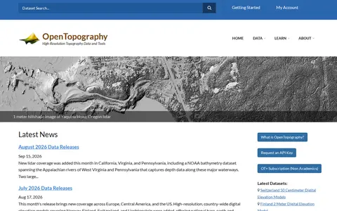
OpenTopography is a platform providing high-resolution topography data and tools, including lidar point clouds, digital elevation models and hillshade imagery. It offers data discovery, programmatic access to raster DEM datasets through a STAC catalog, and a Point Elevation API returning elevation for any location from global and regional datasets.

Open data portal for searching and downloading public datasets.

Open data portal for searching and downloading public datasets.

Browse public datasets, metadata and downloadable records in an open catalog.