ShadeMap is an online tool that simulates sun shadows for any date and time at any place on Earth. It simulates shadows cast by buildings, trees and terrain in 3D and can generate shadow accumulation and shadow accrual maps. The service runs online without installing or buying Google Earth Pro.
Directory
Search results
Published directory entries matching your search.
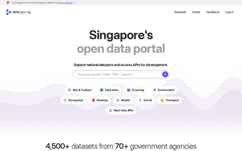
data.gov.sg is Singapore's open data platform, intended to make data discoverable, understandable and usable. It provides free access to interactive charts and maps for national datasets and offers APIs for development. The portal is described as holding 4,500+ datasets from 70+ government agencies, with options to explore and embed live charts and tables and to subscribe to datasets.
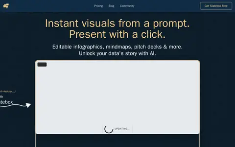
Slatebox creates visuals from a prompt, including infographics, mind maps, timelines, pitch decks and dynamic presentations. Slates are fully editable and can be presented with one click on an infinite canvas with multi-cursor collaboration. A PDF can be transformed into a presentation, and templates are available. Pricing during the beta includes a Forever Free plan and paid Solo-Pro and Team-Pro plans billed annually.
Slope Plus is a modded version of the game Slope with extra features and a smoother framerate, available to download or play in browser. It includes seeded runs and custom games with custom maps and a custom starting speed.
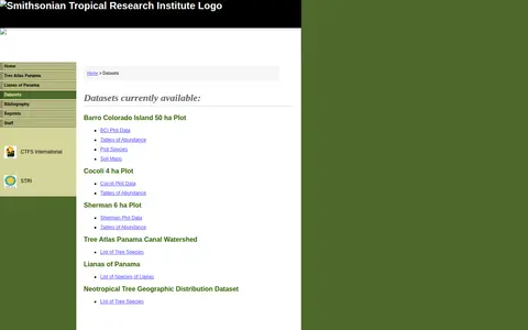
A Smithsonian Tropical Research Institute page listing datasets from its Panama Atlas. It names available datasets including the Barro Colorado Island 50 ha Plot, Cocoli 4 ha Plot, Sherman 6 ha Plot, Tree Atlas Panama Canal Watershed, Lianas of Panama and a Neotropical Tree Geographic Distribution Dataset. Entries include data tables of abundance, soil maps and species lists.
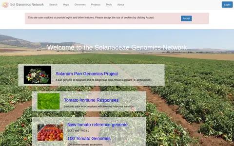
The Sol Genomics Network is a resource for Solanaceae genomics. It hosts projects and data including the Solanum Pan Genomics Project, tomato immune response data, a new tomato reference genome, 100 tomato genomes, the Varitome Project and an eggplant genome release. It also accepts submitted maps for a comparative viewer and related tools.
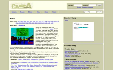
SolutionArchive is a site documenting adventure games, with browse options by publisher, system, platform, year, genre and language, plus an advanced search. It publishes solutions, maps, hints and reviews, and hosts a forum, news archive and emulator links.
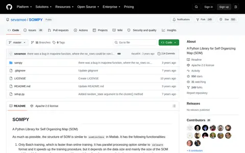
SOMPY is a Python library for self-organizing maps structured similarly to somtoolbox in Matlab. It offers only batch training, PCA or RandomPCA initialization, component plane visualization, hitmap and U-Matrix visualization, and 1-d or 2-d SOM with rectangular, planar grid. It supports function approximation and predictions, mostly using Sklearn.
SpaceFromSpace is an archive of satellite imagery that includes declassified Cold War reconnaissance photographs and modern spaceport views. Images are stitched and georeferenced from raw USGS datasets and presented on interactive maps, with galleries covering declassified, spaceport and recently added scenes.
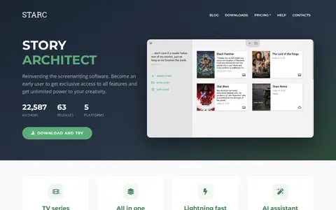
STARC (Story Architect) is a screenwriting app for Mac, Windows and iPhone that formats scripts and supports planning tools, including a virtual card board and mind maps. It has an AI writing assistant and tools for characters and worldbuilding. A free version is offered, with paid Pro and Creator plans.
The State of Idaho GIS Hub is an ArcGIS Hub site for exploring authoritative data, maps, applications and tools developed by Idaho's State Agencies. It also helps users find and explore authoritative datasets that are part of the Idaho Spatial Data Infrastructure (Idaho SDI).
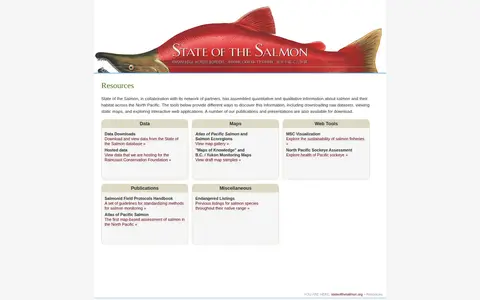
State of the Salmon, working with partners, has assembled quantitative and qualitative information about salmon and their habitat across the North Pacific. Its resources page offers ways to discover this information, including downloading raw datasets, viewing static maps and exploring interactive web applications. Publications and presentations are also available for download.
StudyKit is a free student resource toolkit that provides over 50 tools across maths, science, writing and study categories. The toolkit includes calculators, timers, mind maps, flashcards, quiz generators, exam countdown trackers, and writing assistance tools for student use.
SurveillanceMap catalogs publicly accessible private cameras and exposed surveillance feeds for awareness.
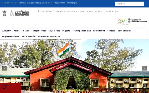
Survey of India (SoI) is the National Mapping Agency of India under the Department of Science & Technology, Government of India. It produces and provides maps, geospatial data, and related products and services for the country.
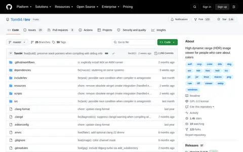
tev is a high dynamic range (HDR) image viewer for people who care about colors. It understands HDR and color profiles and displays HDR on all operating systems, and supports many file formats including gain maps, aux channels and animation.
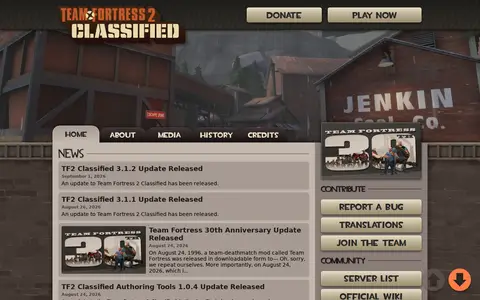
Team Fortress 2 Classified is a Team Fortress 2 experience built on its original inspirations and tone. It adds refreshed visuals, new gamemodes and maps, new weapons and new teams. The site lists version updates and separate Authoring Tools releases.
The Cartographers' Guild is a website and forum for enthusiasts of fantasy maps, mapmaking and cartography of all types. It is a community of fantasy map makers that provides tutorials, references and resources for fellow mapmakers.
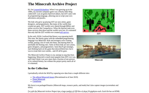
The Minecraft Archive Project is Leonard Richardson's effort to preserve Minecraft cultural history by periodically capturing packaged binaries such as maps, resource packs, and mods, along with screenshots and skins, from sites including Planet Minecraft and CurseForge. The archive is split into many ZIP files of about 50 gigabytes each, each with an HTML finding aid.
TheSkyLive provides information about celestial objects and tools for exploring and observing the night sky. It includes star maps, a 3D Solar System viewer, visibility listings for planets, comets and asteroids, and guides to eclipses and the Moon. Users can set an observing location, and without one the site defaults to Greenwich.
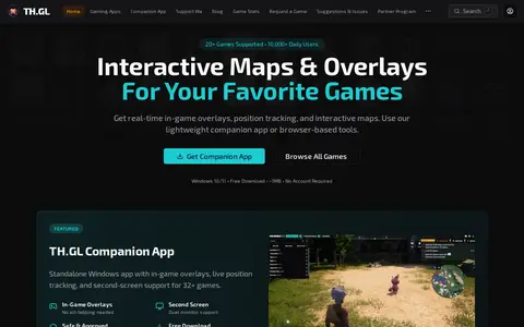
TH.GL offers interactive maps, in-game overlays and real-time position tracking for a catalogue of games, available through a Windows companion app or browser-based tools. The site lists over 50 supported games and says no account is required.
The Thunder Bay Open Data Portal is the City of Thunder Bay's public platform for accessing municipal datasets. It allows users to discover, analyze, and download data in formats including CSV, KML, Zip, GeoJSON, GeoTIFF and PNG. The portal provides API links for GeoServices, WMS and WFS, and supports the creation of StoryMaps and web maps for data visualization.
Time.Graphics is an online timeline creation platform for building interactive timelines. It offers AI-generation that is free to try, a dashboard for managing teachers, students, classrooms and subscriptions, imports from Google Calendar, Google Maps, YouTube and Google Sheets, and export options for offline viewing. Public timelines number over 500,000. Premium subscription plans are listed at $4.9 for 2 days, $18.9 for 1 Month, and $97.9 for 1 year.
TimelineJS is an open-source tool for building visually rich, interactive timelines, described as a free, easy-to-use tool for telling stories in a timeline format. Beginners can create a timeline using a Google spreadsheet, while experts can use JSON skills for custom installations. The tool can pull in media from sources including Twitter, Flickr, YouTube, Vimeo, Google Maps, Wikipedia and SoundCloud.