
The British Antarctic Survey data service provides access to polar datasets covering long-term environmental, biological, geological, and meteorological data, as well as specimens, maps, and photographs. It operates interfaces and portals including the UK Polar Data Centre metadata catalogue for searching polar datasets held by the centre.
Directory
Search results
Published directory entries matching your search.
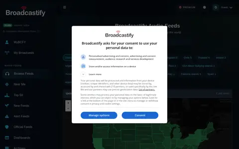
Broadcastify's browse page lists live audio feeds from around the world, organized by country and by state within the United States. It reports 7,292 live audio feeds, including country totals and feed counts for each state.
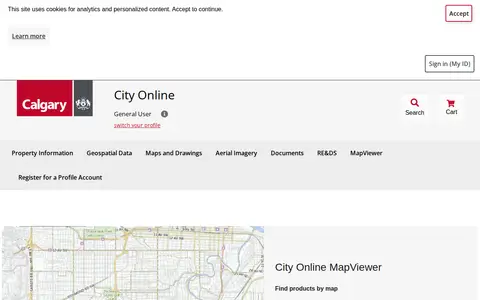
City Online is the City of Calgary's portal for purchasing property information, geospatial data, maps and drawings, and aerial imagery. Products include property reports purchased per property address and geospatial data sold per ATS section. The site also links to the Open Data Portal, map gallery, Assessment Search and other City resources.
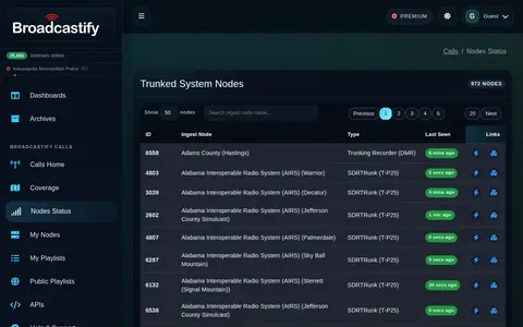
Broadcastify Calls status page showing node availability and live feed system activity.
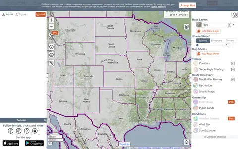
CalTopo is a backcountry mapping tool offering trip planning tools and topographic maps, including USGS and USFS topos and aerial imagery. It supports printing to geospatial PDFs, exporting to KMZ and MBTiles, elevation profiles and terrain analysis, and finding shared maps from other users.
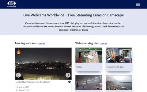
Camscape is a directory of free live streaming webcams, curated since 1999 and organized by location since a 2004 redesign. Listings cover beaches, cities, landmarks and nature, and are built from user submissions. The site offers browsing by category, location, an interactive map, a trending section and a Nearby feature introduced in 2025.
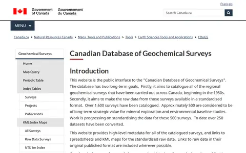
The Canadian Database of Geochemical Surveys is the public interface to a Geological Survey of Canada database that catalogues regional geochemical surveys across Canada. It provides high-level metadata for catalogued surveys and links to spreadsheets and KML maps for standardised raw data, with data presented through an index map query, periodic table search and index tables.
CanWIN is the data centre for the Centre for Earth Observation Science at the University of Manitoba. The repository holds datasets, projects and publications on watershed, freshwater, marine and atmospheric topics, searchable by theme or map, and supports data discovery, submission and download.
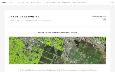
The CANUE Data Portal is a product of the Canadian Urban Environmental Health Research Consortium for research on urban living and human health. The portal is described as a beta upgrade and offers a map browser, data request, data download and restricted area; users are asked to report issues to [email protected].
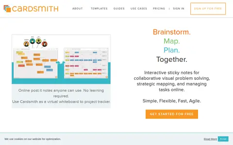
CardSmith is an online platform that provides interactive sticky notes on a virtual whiteboard for visual problem solving and project tracking. It supports real-time collaboration, allowing teams to brainstorm, map ideas, plan, and manage tasks together. The service is designed to be simple, flexible, fast, and agile, suitable for remote meetings, agile teams, coaching, and virtual workshops.
Odyssey.js is an open source tool that combines maps, narratives and other multimedia into stories. It offers templates including scrolling, slide based and temporal designs, and Actions for map movements and content display. The sandbox lets users test the library and edit story content with Markdown. It is an early-stage project developed by cartodb.com with Knight Foundation funding.
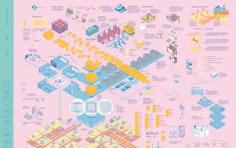
Cartography of generative AI is a project presenting a mapped account of generative AI in multiple languages. It discusses how tools automate writing and image generation through examples and statistical models trained on datasets, and examines the extraction of internet content for training datasets and related controversies.
Cartopy is a Python package designed for geospatial data processing in order to produce maps and other geospatial data analyses.
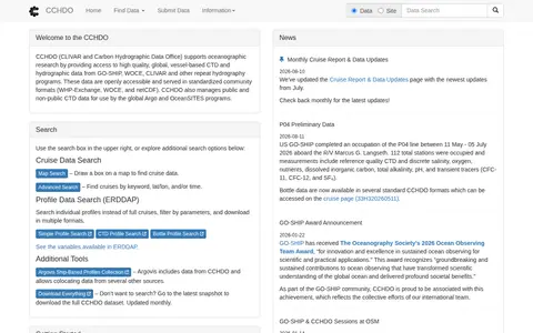
CCHDO, the CLIVAR and Carbon Hydrographic Data Office, supports oceanographic research by providing access to global, vessel-based CTD and hydrographic data from GO-SHIP, WOCE, CLIVAR and other repeat hydrography programs. Data are openly accessible in standardized community formats, and search options include cruise, map and profile searches.
The Cell Centered Database is an archived UC San Diego Library digital collection of high resolution 2D, 3D and 4D data from light and electron microscopy of tissues from the nervous system and other systems. It provides raw data, reconstructions and segmented data for download, plus 2D images, animations and image maps for online visualization.
Censys provides a map of the internet that security teams use to defend attack surfaces and hunt for threats. It offers security operations and exposure management with real-time internet intelligence. Products listed include attack surface management, Censys Search and adversary investigation.
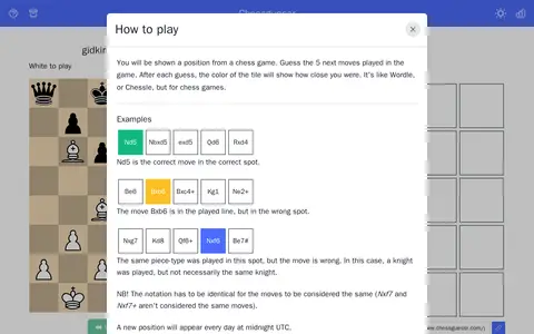
Guess the next moves in a daily chess game puzzle.
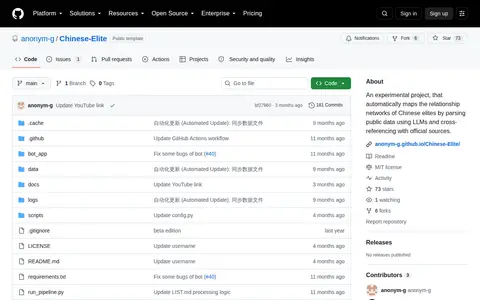
Project that automatically maps relationship networks by parsing public data using LLMs and visualizes it as an interactive graph.
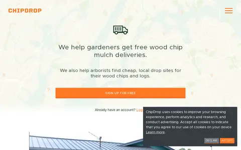
ChipDrop matches gardeners who want free wood chip mulch with arborists and tree companies seeking to get rid of wood chips and logs. Gardeners sign up and place a request to join a neighborhood list; a local tree trimming company in the area might deliver a load. Arborists can view a map on a phone to find dump spots.
Chrono Divide is a fan-made, browser-based remake of Command & Conquer: Red Alert 2. It runs as a game client in the web browser without additional plugins, supports multiplayer and original maps, and a beta version is available. The project aims to reach feature parity with the original Red Alert 2 engine.
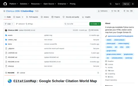
A simple pip-installable Python tool to generate your HTML citation world map from your Google Scholar ID.
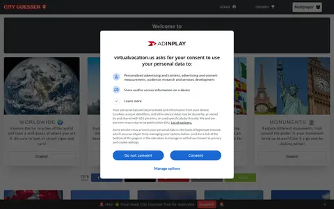
City Guesser is a browser game that places the player in a random location and asks them to guess where they are. It offers worldwide and regional maps, including the USA, Europe, Canada, Russia, the United Kingdom, France, Asia, Japan, India, Brazil, Australia, Argentina and monuments. It also includes Country Streak and Radius Streak modes and No Moving and Time Limit challenges.


This is the City of Courtry's open data portal, hosted on ArcGIS Hub. It allows users to discover, analyze and download available datasets in formats including CSV, KML, Zip, GeoJSON, GeoTIFF and PNG. It also provides API links for GeoServices, WMS and WFS, and supports creating StoryMaps and Web Maps.
The City of Peterborough Open Data Portal is the central hub for the city's GIS Open Data. It provides access to GIS datasets, printed maps, web mapping applications, and GIS applications.