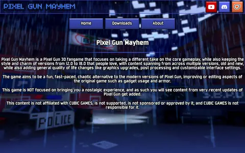
Pixel Gun Mayhem is a Pixel Gun 3D fangame built on version 12.0 as a base and targeting the style, charm and content of version 18.0. It ports or reverse engineers features such as UI, minigames, gamemodes, weapon gimmicks and maps, and adds new content, reworked balancing and a reworked progression system. The project states it is not affiliated with, supported by, sponsored or approved by CUBIC GAMES.

Directory
Search results
Published directory entries matching your search.
Find growing zones and climate maps for gardening.
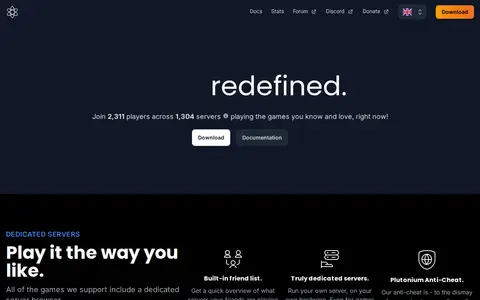
The Plutonium Project is a Call of Duty mod that aims to improve upon the supported games: BO1, BO2, MW3 and WaW. It provides dedicated server browsers, a built-in friend list, modding support through GSC scripting, and controller support, along with additional guns and maps.
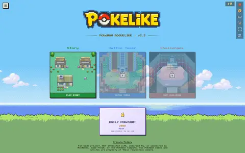
Pokelike is a fan-made Pokemon roguelike played in the browser. The game includes a story mode where players explore regions, beat gyms and conquer the Elite Four, with Classic or Nuzlocke options. It also has a Battle Tower with staged maps across five regions.
The City of Port Moody's open data portal lets users discover, analyze and download city data. Data can be downloaded in formats including CSV, KML, Zip, GeoJSON, GeoTIFF and PNG. API links are provided for GeoServices, WMS and WFS, and users can analyze data with charts and thematic maps.
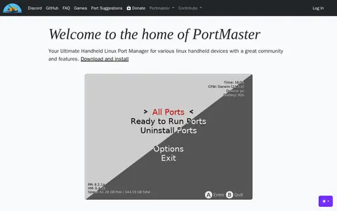
PortMaster is a port manager for various Linux handheld devices with an associated community. It provides gptokeyb, a gamepad-to-keyboard/mouse/xbox360 emulator that offers a kill switch and maps gamepad buttons to keys or mouse.
Potpie is an AI-native SDLC automation platform. It maps how systems work into a context graph and runs AI agents on it inside the user's own VPC, according to the page. The documentation page describes creating and updating documentation from connected product knowledge.
ArcGIS dashboard mapping power plants across the United States with energy and location data.
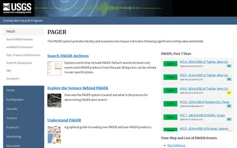
The PAGER system is part of the USGS Earthquake Hazards Program and provides fatality and economic loss impact estimates after significant earthquakes worldwide. The page links to maps and lists of PAGER events from the past 24 hours, 7 days and 30 days, and to an archive search that defaults to events with PAGER products from the past 30 days, refinable by the user.
Protected Planet is a source of data on protected areas and other effective area-based conservation measures, updated monthly with submissions from governments, organisations, landowners and communities. It provides figures on global terrestrial, inland water and marine coverage. It also covers the ICCA Registry, an online platform where indigenous peoples and local communities provide data, case studies, maps, photos and stories.
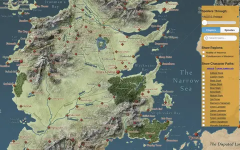
An interactive map of the world in A Song of Ice & Fire and A Game of Thrones. A slider lets visitors hide details beyond the chapters or episodes they have completed, and the paths of major characters can be animated. The map links to further details on the Westeros.org wiki and uses the Google Maps API.
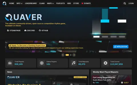
Quaver is a community-driven, open-source competitive rhythm game available on Steam. The site lists mapsets and scores and links to a wiki covering gameplay, editor, rules, skins, multiplayer and ranking. A v1.7 client update added features, improvements and bug fixes.
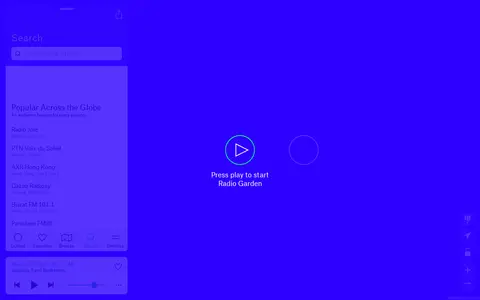
Radio Garden lets users explore live radio stations around the world through an interactive globe.
Recollection Wisconsin is a digital collection that allows users to discover photos, maps, books, artifacts, oral histories and more from dozens of Wisconsin communities. The site is framed around sharing stories and exploring the past.
Durham open-data portal for searching municipal datasets, maps, and local government information.
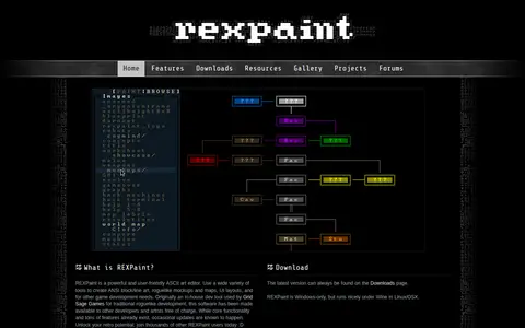
REXPaint is an ASCII art editor from Grid Sage Games for creating ANSI block and line art, roguelike mockups and maps, and UI layouts. It offers separate editing of characters, foreground, and background colors, shape and text tools, layers, palette manipulation, a true-color picker, custom fonts and tilesets, and export to PNG and other formats. It is Windows-only and was originally an in-house development tool.
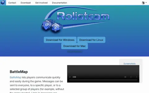
Rolisteam is a free and open source virtual table for TTRPG sessions. It includes features such as BattleMap messaging, mind maps, character sheets, a music system, a PDF viewer and dice. Downloads are offered for Windows, Linux and Mac, with Linux also available via Ubuntu PPA and Flathub.
Runeforge is a hub for League of Legends mods, offering custom skins, maps and other mods to browse and install. It provides LTK Manager, described as a next-generation mod manager and the successor to the deprecated cslol-manager, used to install mods. The site reports mod download and creator counts and hosts a changelog.
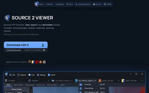
Source 2 Viewer (S2V) is a free, open-source tool for browsing VPK archives and viewing, extracting and decompiling Source 2 assets, including maps, models, materials, textures, sounds and particles. The project is reverse-engineered without an official Source 2 SDK and is not affiliated with Valve Software. It supports games such as Counter-Strike 2, Dota 2, Deadlock and Half-Life: Alyx.
Online world map service offering a satellite view of the Earth with labels, a ruler, place sharing, search and locating. It also lists route planning, state boundary tracking, city lists for each state and weather forecast.
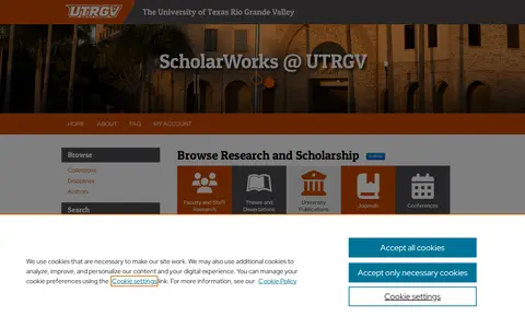
ScholarWorks @ UTRGV is the open-access institutional repository of the University of Texas Rio Grande Valley, operated by the university library. It collects and provides access to faculty research, graduate theses and dissertations, and Special Collections materials such as historical documents, oral histories, maps, and photographs. Content can be submitted by email or deposited through departmental faculty collections.
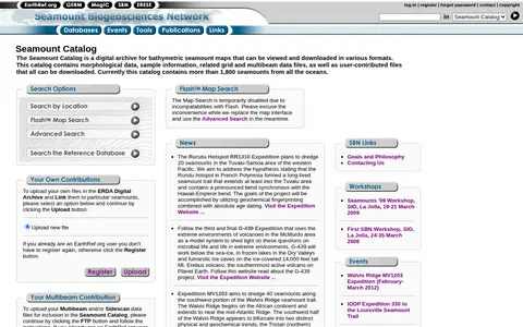
The Seamount Catalog is a digital archive of bathymetric seamount maps that can be viewed and downloaded in various formats. It holds morphological data, sample information, and related grid and multibeam data files, plus user-contributed files, all downloadable. The catalog currently covers more than 1,800 seamounts from all oceans.
Search map and directory for exploring search engines, categories, and discovery tools.
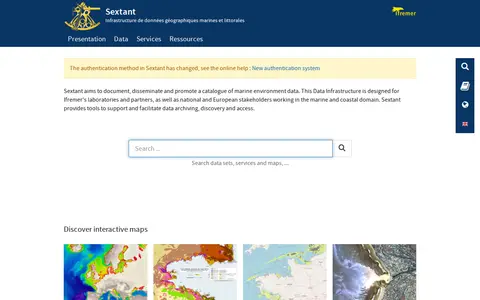
Sextant is a marine and coastal geographic data infrastructure run by Ifremer. It aims to document, disseminate and promote a catalogue of marine environment data, and provides tools to support data archiving, discovery and access. It is intended for Ifremer laboratories and partners as well as national and European stakeholders in the marine and coastal domain, and offers interactive maps of themes such as bathymetry and habitats.