A web-based app development tool for education. App Inventor is described as the largest app development tool for global education and is free, running in a browser on Mac, Windows or Chromebook with nothing to install. Tutorials range from beginner to advanced, covering topics such as generative AI, maps, the camera, machine learning and cloud data.
Directory
Search results
Published directory entries matching your search.
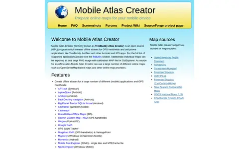
Mobile Atlas Creator (MOBAC) is an open source GPL program that creates offline atlases for GPS handhelds and cell phone applications from online map sources such as OpenStreetMap-based maps. It is written in Java and runs on Windows, Linux, and MacOS.
ModBay is a portal for Minecraft PE fans offering add-ons, mods, news, guides, maps and textures. It also provides seeds and tutorials, and allows users to create an account and join the community.
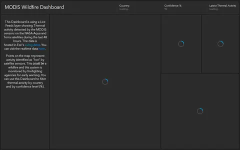
ArcGIS dashboard showing MODIS satellite wildfire detections, hotspots, and fire activity.
ArcGIS Hub site presenting Montana Fish, Wildlife and Parks GIS data for discovery, analysis and download. Data can be downloaded in CSV, KML, Zip, GeoJSON, GeoTIFF or PNG formats, and API links are available for GeoServices, WMS and WFS. Charts and thematic maps support analysis.
Moz Local is a local SEO tool for managing business listings across directories. It offers auto-syncing of listings, listing health monitoring, Google Business Profile performance insights, and centralized review management from one dashboard. Paid plans include Lite, Preferred and Elite tiers, with larger deployments handled through enterprise custom pricing.
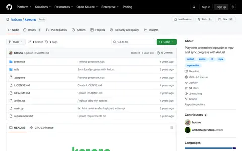
Keroro is a CLI tool and mpv script that uses AniList to track watch progress of locally downloaded anime. It plays the next unwatched episode in mpv, maps folders to AniList entries, and automatically marks an episode watched when more than 80% has been viewed. Progress can be stored locally without an internet connection.
Multi Theft Auto is a multiplayer mod for Grand Theft Auto: San Andreas. It offers game modes such as roleplay, race, deathmatch, zombies and stealth, plus a scripting system and map editor. It is open source and has a community forum and a site for downloading user-created game modes and maps.
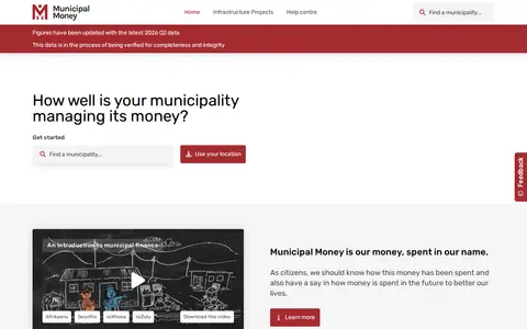
Municipal Money is a web-based tool from South Africa's National Treasury that presents municipal financial data to the public. It draws on raw data from the Municipal Money API site and uses interactive maps, charts, graphs and short videos to show financial performance and allow comparisons between municipalities. Content is presented for general audiences without a financial background.
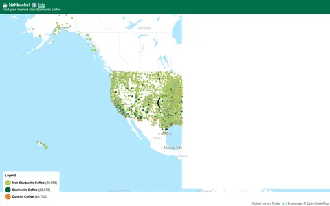
Nahbucks! shows the nearest non-Starbucks coffee shop. It states that coffee shop data was extracted from Google Maps by scraping businesses with categories such as coffee shops, coffee roasters, coffee wholesaler, coffee store and coffee stand. The page includes an affiliate link for Lifeboost Coffee.
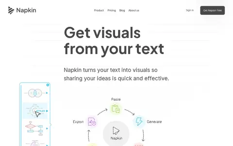
Napkin AI is a tool that turns pasted text into visuals such as flowcharts, mind maps, infographics, diagrams, data charts and slides, without design skills. Users generate visuals from their text, then adjust colors and elements. Visuals can be exported as .ppt, .png, .pdf or .svg. A free plan offers 500 AI credits per week, and pricing lists Plus at $9 per person per month.
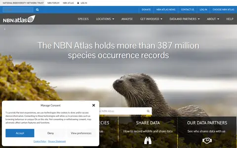
The NBN Atlas is a free online tool hosting the UK's largest collection of biodiversity information, enabling data to be shared, analysed and researched. It holds more than 387 million species occurrence records, covers marine and terrestrial species, and allows users to interrogate species records and download distribution maps.
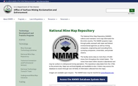
The National Mine Map Repository collects and maintains mine map information for the entire country, storing data on more than 275,000 closed or abandoned mines. It acquires maps from public outreach with agencies, companies, universities and private citizens, and archives them digitally, offering database search across over 40 fields.
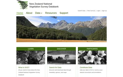
The New Zealand National Vegetation Survey Databank is a repository for vegetation survey data. Users can search for and download datasets through metadata, species and maps, view scientific names and NVS species code lists, and access the NVS Express tools and developer resources. Datasets may be open access or require the owner's permission before download.

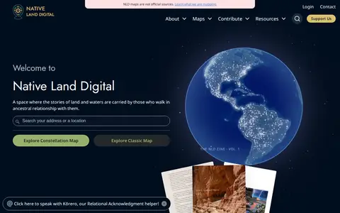
Native Land is a resource and app for learning about Indigenous territories, languages, lands, and ways of life, and for mapping Indigenous territories, treaties, and languages. It also states that its maps are not official sources. The site notes it provides geoJSONs and an API for free.
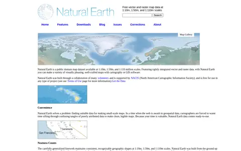
Natural Earth provides free vector and raster map data at 1:10m, 1:50m, and 1:110m scales, developed as a resource for making custom maps. Vector data comes in ESRI shapefile format and raster data in TIFF format, both using the WGS84 datum. Attributes include ranked feature names and map design details such as river width and country colors.
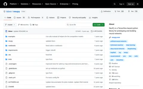
NeuPy is a Python library built on Tensorflow for prototyping and building neural networks. The repository notes that the library is no longer actively maintained. It includes examples and notebooks covering algorithms such as Boltzmann machines and self-organizing maps.
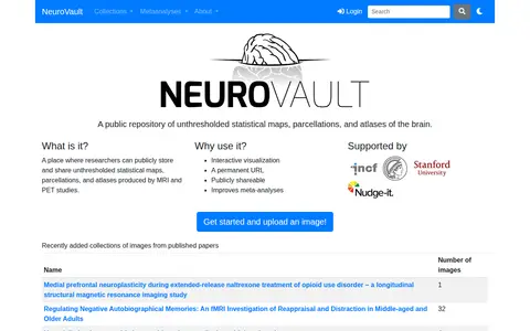
NeuroVault is a public repository where researchers can store and share unthresholded statistical maps, parcellations and atlases produced by MRI and PET studies. It offers interactive visualization, permanent URLs and publicly shareable images, and the site states it improves meta-analyses. An API provides access to atlases, collections and images.
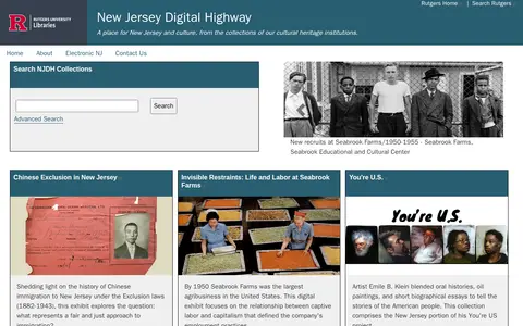
New Jersey Digital Highway is an online portal for New Jersey culture and history, drawing on collections from cultural heritage institutions. It provides searchable digital collections, exhibits on topics such as Chinese immigration and Seabrook Farms, digital maps, an environmental digital library, a peer-reviewed studies journal, and resources for students and teachers.
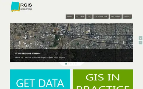
The New Mexico Resource Geographic Information System Program provides a data portal for GIS information. Its Image Archive Program, maintained by the Earth Data Analysis Center at the University of New Mexico, hosts historical aerial photography data for New Mexico and the US Southwest, alongside space shuttle imagery, satellite imagery, topographic maps, and digital data.

New Westminster Open Data is the official open data portal for the city of New Westminster. It enables users to discover, analyze, and download municipal datasets in formats including CSV, KML, Zip, GeoJSON, GeoTIFF and PNG. The portal provides API links for GeoServices, WMS, and WFS, and supports the creation of StoryMaps and Web Maps for data visualization.
The Newfoundland and Labrador Open Data portal releases government datasets under an open licence, free of charge for anyone to use and reuse for any purpose. It offers tabular and spatial dataset catalogs, tags for finding data by topic, and charts and maps built from individual datasets. Data is provided in accessible, machine-readable formats such as XLS, CSV and TXT.
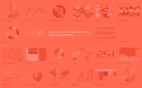
Nivo is a library of React data visualization components built on top of D3 and React. It provides a range of dataviz components including chord diagrams, line charts, bar charts, pie charts, choropleth maps and other visualization types.
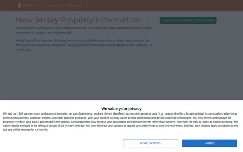
NJParcels.com provides New Jersey property information, real estate and sales data, and interactive maps and metrics of taxation and valuation data. Data is pulled from official sources, including the Monmouth Tax Board web application, and links parcel and other GIS and demographic data. Users can drill down by county, municipality, block and lot, or search by mailing or street address.