kuins.repo.nii.ac.jp
Browse digitized texts, images, archives and cataloged cultural materials.
Directory
Published directory entries matching your search.
Browse digitized texts, images, archives and cataloged cultural materials.

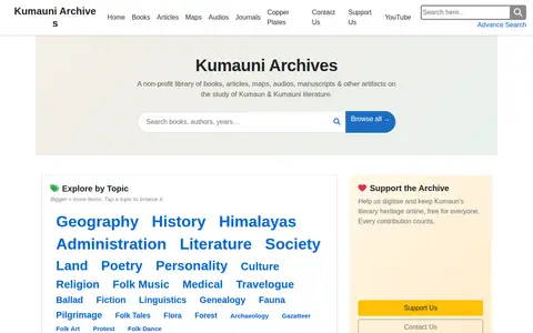
Kumauni Archives is a non-profit library of books, articles, maps, audios, manuscripts and other artifacts on the study of Kumaun and Kumauni literature. It offers browsing by topic and hosts theses and other entries.

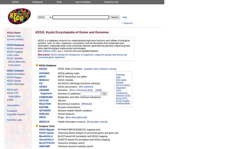
KEGG is a bioinformatics database resource for linking genomes to biological systems and the environment. It provides pathway maps, BRITE hierarchies, modules, KEGG Orthology functional orthologs, genes and proteins, genomes, compounds, glycans, reactions, enzymes, disease and drug entries, plus analysis tools including KEGG Mapper, KEGG Syntax, BlastKOALA and GhostKOALA.

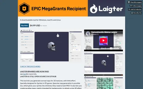
Laigter is a tool for generating normal maps for 2D textures, designed for sprites in 2D games. It also supports specular, parallax and ambient occlusion map generation. It is available for Windows, macOS and Linux.

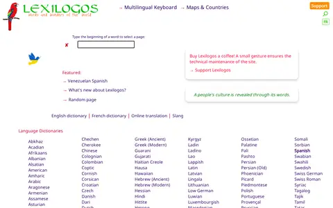
LexiLogos is a free online resource offering dictionaries in every language, along with maps and documents of every country. It also provides a multilingual keyboard and pages about countries. The site lists language dictionaries covering many languages and language families.

Find and access basic in biology and medicine research data, with indexed measurement and test data.

A live map showing London Underground trains as yellow dots in approximately real time, built by Matthew Somerville. Live departure data is fetched from the TfL API. Schematic and Skyfall versions are also offered. It was originally built at Science Hackday in June 2010.
Live action map for tracking conflict, incidents, and breaking events by location.

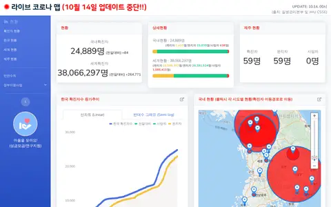
Korean COVID-19 map and dashboard for tracking outbreak data, cases, and local updates.

LostGamer is a hub for gaming tools and experiences. It offers interactive maps, custom challenges, leaderboards in the Guessr mode, and a singleplayer mode in which players are dropped into a game and guess their location from their surroundings.
Loyalist Migrations is the open data site for Huron University College's Loyalist Migrations Project, which maps the migrations of individuals who left the United States during and after the American Revolution.

LTER-Italy Dataset Asset Registry is the digital asset register for the LTER-Italy long-term ecological research network. It hosts resources including spatial data, maps, and assets, and provides remote services. It is funded under the EU Next Generation EU PNRR as part of the Italian Integrated Environmental Research Infrastructures System, and is available in English and Italian.

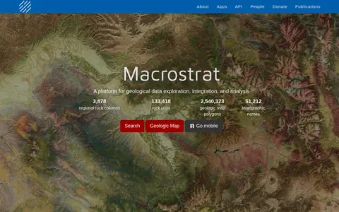
Macrostrat is a platform for exploring, integrating and analysing geological data. It aggregates geologic maps from data providers and links map polygons to rock columns, stratigraphic names and geochronological intervals. The site offers a searchable geologic map and an API. Interactive applications built on the platform are intended for educational and research purposes.

Majestic is a backlink analysis toolset for SEO, established in 2004. It maps the web to provide Link Intelligence data, including metrics such as Trust Flow, Citation Flow and Topical Trust Flow. Its tools include Site Explorer, Summary, Backlink History and Clique Hunter, along with an API and browser plugins.

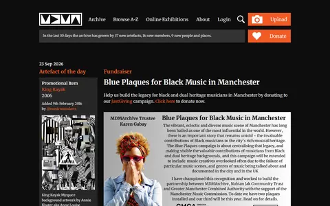
An online community archive established in 2003 to celebrate Greater Manchester music and its social history. It provides browse and A-Z archive sections, online exhibitions, and a login and upload area. Projects include digitised Piccadilly Radio tapes, audio maps, and a research lab.

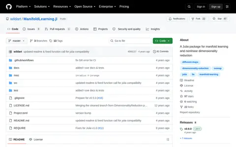
ManifoldLearning.jl is a Julia package for manifold learning and nonlinear dimensionality reduction. It provides methods including Isomap, diffusion maps, locally linear embedding, Hessian eigenmaps, Laplacian eigenmaps, local tangent space alignment and t-SNE. Most methods use k-nearest neighbors to construct local subspace representation, and a custom k-nearest neighbors function is suggested for large datasets.

Liveuamap page presenting Syrian Civil War news on an interactive map in English, covering the civil war, international intervention and terrorism in Syria. The site offers news, live updates and a map, and offers an ad-free option from $8 per month.

Mapillary shows crowdsourced street-level imagery for roads, places, routes, and mapping projects.

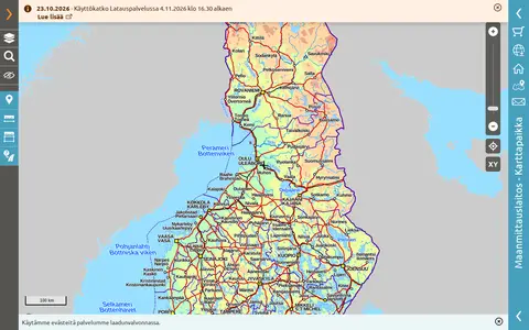
Public map service provided by the National Land Survey of Finland.

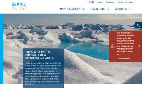
Meereis Portal is an online public portal focused on sea ice data and related resources. It provides daily updated sea ice concentration and extent data, annual cycle visualizations, interactive maps, animations, infographics, and educational content covering sea ice physics, desalination processes, and sea ice's role in the cryosphere and energy budgets.

Met Office is the UK's national weather and climate service. Its research activities span weather science, climate research, applied science and foundation science. The organisation provides public access to weather forecasts, UK weather warnings, maps and charts for the UK and other global regions, climate change explanatory content, specialist forecasts for coastal, mountain and space weather, and educational resources for schools, alongside dedicated weather and climate research programmes.

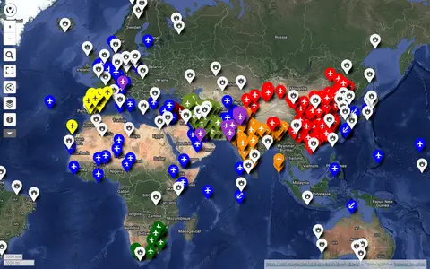
uMap project mapping military bases around the world using OpenStreetMap data.

Online mind-mapping tool for creating diagrams, outlines, brainstorming maps, and project notes.

Minnesota Digital Library is a search and discovery site that lets users browse a collection of items from historical societies, libraries, archives, and cultural organizations across Minnesota. It offers browsing by topic, contributor, and format, along with digital storytelling resources including exhibits, maps, timelines, and primary source sets.