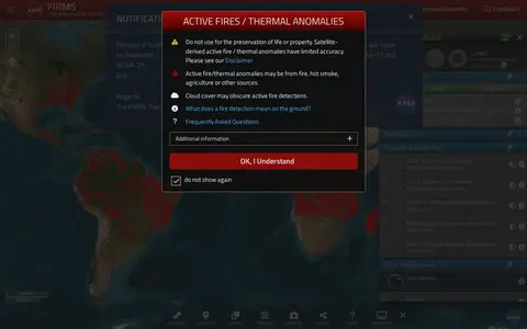

firms.modaps.eosdis.nasa.gov
NASA FIRMS map shows satellite-detected fires, hotspots, and fire activity around the world.
Directory
Search published websites, apps and repositories.
NASA FIRMS map shows satellite-detected fires, hotspots, and fire activity around the world.

Google Maps provides maps, directions, satellite views, business listings, street views, and location search.

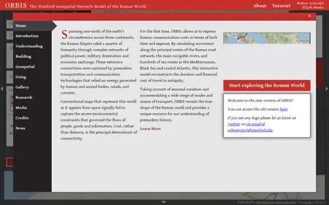
ORBIS is the Stanford Geospatial Network Model of the Roman World, published by Stanford University Libraries, with authors Walter Scheidel and Elijah Meeks. It presents a route and network interface with options for origin and destination, departure month or season, and priority such as fastest, cheapest or shortest, across road, river and sea modes.

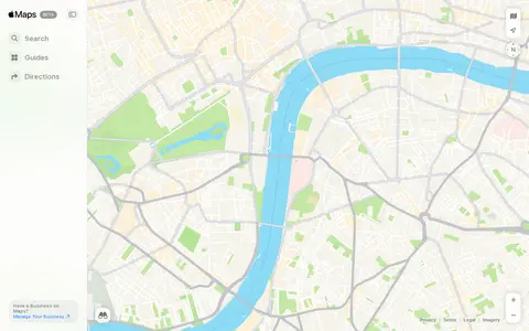
Apple Maps helps discover apps, SaaS products, no-signup tools, clones, or software alternatives.

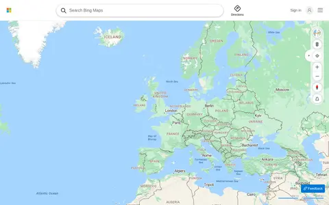
Bing Maps provides web maps, directions, traffic views, aerial imagery, and place search.

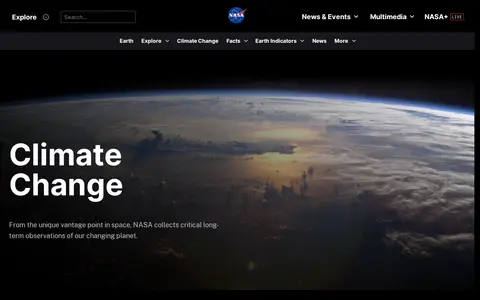
Earth Now is a miscellaneous web resource for discovery, directories, archives, web culture, or useful tools.

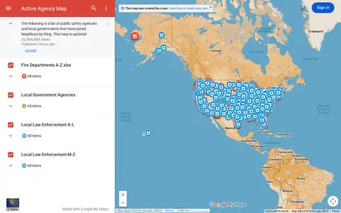
Google map showing active agency locations, activity, or organizational presence by place.
US incident information system for wildfires, emergency incidents, maps, and official updates.

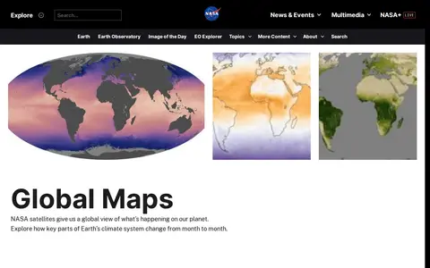
Earth Observatory is a miscellaneous web resource for discovery, directories, archives, web culture, or useful tools.

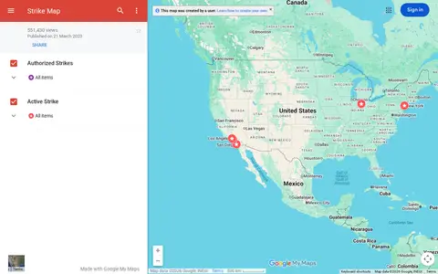
Google map tracking labor strikes, workplace actions, and related events across the United States.
Johns Hopkins COVID-19 map visualizes cases, deaths, trends, and outbreak data by location.

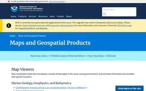
A National Centers for Environmental Information page presenting maps and geospatial products, including map viewers with data visualization tools and story maps combining maps, narrative text, images and multimedia. It also links to ArcGIS REST service directories for GIS servers with metadata and download formats for programmers and developers.
USGS Maps is a miscellaneous web resource for discovery, directories, archives, web culture, or useful tools.

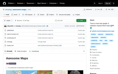
Awesome Maps is a code repository or project page with source code, releases, documentation, or setup notes.
broadbandmap.fcc.gov is a miscellaneous web resource for discovery, directories, archives, web culture, or useful tools.

r/oldmaps points to a Reddit community or thread with discussion, guides, updates, or shared resources.

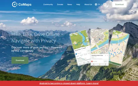
CoMaps is an open-source offline maps app built by a community. It offers offline search, turn-by-turn routing by foot, bike or car, an outdoor mode, and a public transport layer. The app is a fork of Organic Maps and Maps.Me.

d-maps is a miscellaneous web resource for discovery, directories, archives, web culture, or useful tools.
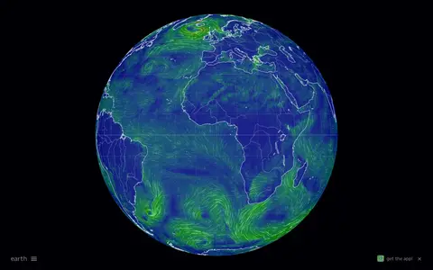
Interactive global map showing wind, weather, ocean, and atmospheric conditions using live model data.
Geonarra helps explore location-based stories, map data, and geographic information through a map interface.

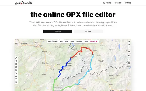
GPX Studio edits, merges, cleans, and visualizes GPS tracks and route files in the browser.

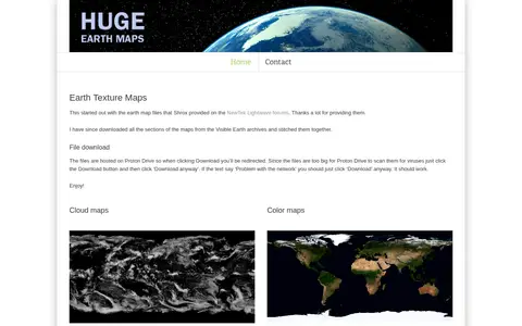
Huge Earth Maps provides downloadable Earth texture maps, including cloud maps, night light maps, color maps and bump maps. The files are hosted on Proton Drive, with sizes ranging from about 110 MB to a 2.8 GB archive of all maps.
Live action map for tracking conflict, incidents, and breaking events by location.

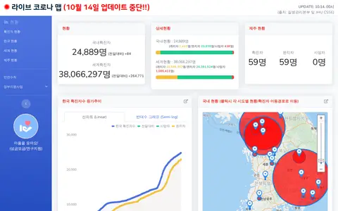
Korean COVID-19 map and dashboard for tracking outbreak data, cases, and local updates.