

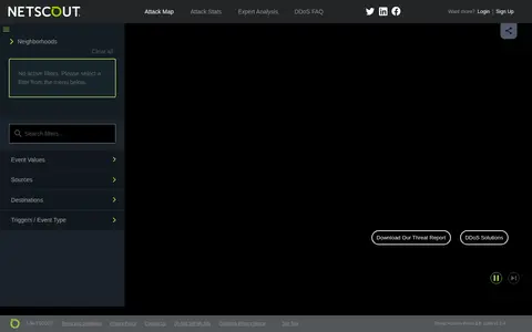

NETSCOUT Cyber Threat Horizon offers a real-time DDoS attack map and threat statistics. The site presents a customizable view of the global cyber threat landscape, with attack map, statistics and expert analysis sections, plus filters for event values, sources, destinations and event types.

Visualizing Global Internet Performance
Akamai real-time monitor showing internet traffic, performance, and platform activity.
Links
Tags
-
0NETSCOUT Cyber Threat Horizon offers a real-time DDoS attack map and threat statistics. The site presents a customizable view of the global cyber threat landscape, with attack map, statistics and expert analysis sections, plus filters for event values, sources, destinations and event types.

-
0Digital Attack Map is a live data visualization of DDoS attacks around the globe, presented by Jigsaw. It shows top daily DDoS attacks worldwide and offers modes for large, unusual and combined attacks, plus a map and table view and historical data.
-
0Ukraine Live Cams is a 3D map visualization of live cameras in Ukraine, Drag and arrow keys move, mouse wheel or plus/minus keys zoom, and holding the right mouse button or Ctrl while dragging rotates and tilts the view.
-
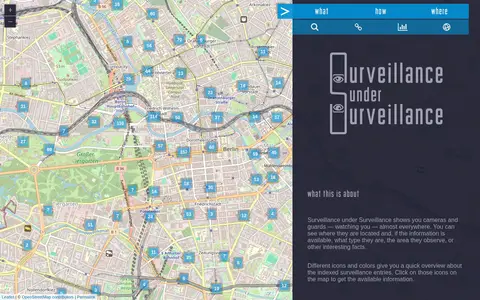
0Surveillance under Surveillance is a map showing surveillance cameras and guards, with type, observed area and other information where available. It uses OpenStreetMap contributor data not visualized on the regular OpenStreetMap site, updated once an hour. New or revised entries can be added using an OSM account.
-
0
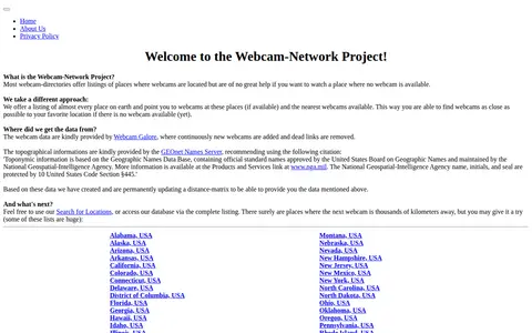
The Webcam Network provides regional webcam listings for places worldwide. It lists locations and points to available webcams there or the nearest available webcams. Webcam data comes from Webcam Galore, and topographical information comes from the GEOnet Names Server; a distance matrix is updated permanently.
-
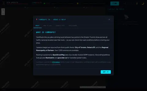
0CamRoute is a tool for planning a driving route in the Greater Toronto Area and viewing traffic cameras near that route. It draws on over 1,300 cameras from the City of Toronto, Ontario 511, and Durham Region, with routing powered by OpenStreetMap data. It is described as an independent, unofficial project.
Community notes
Reviews and discussion
No reviews yet
Be the first to share how this project worked for you.
Join the discussion
Sign in with a verified account to leave a review or join the discussion.
Sign in to review