



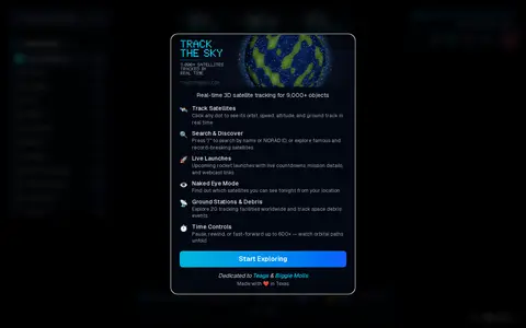

Track The Sky is a real-time 3D satellite tracker that follows over 9,000 satellites on an interactive 3D globe using live orbital data. It covers categories including space stations, Starlink, GPS and weather satellites. Features include clickable orbit paths, ground tracks, altitude and velocity, and overhead pass predictions.
Solar System Scope
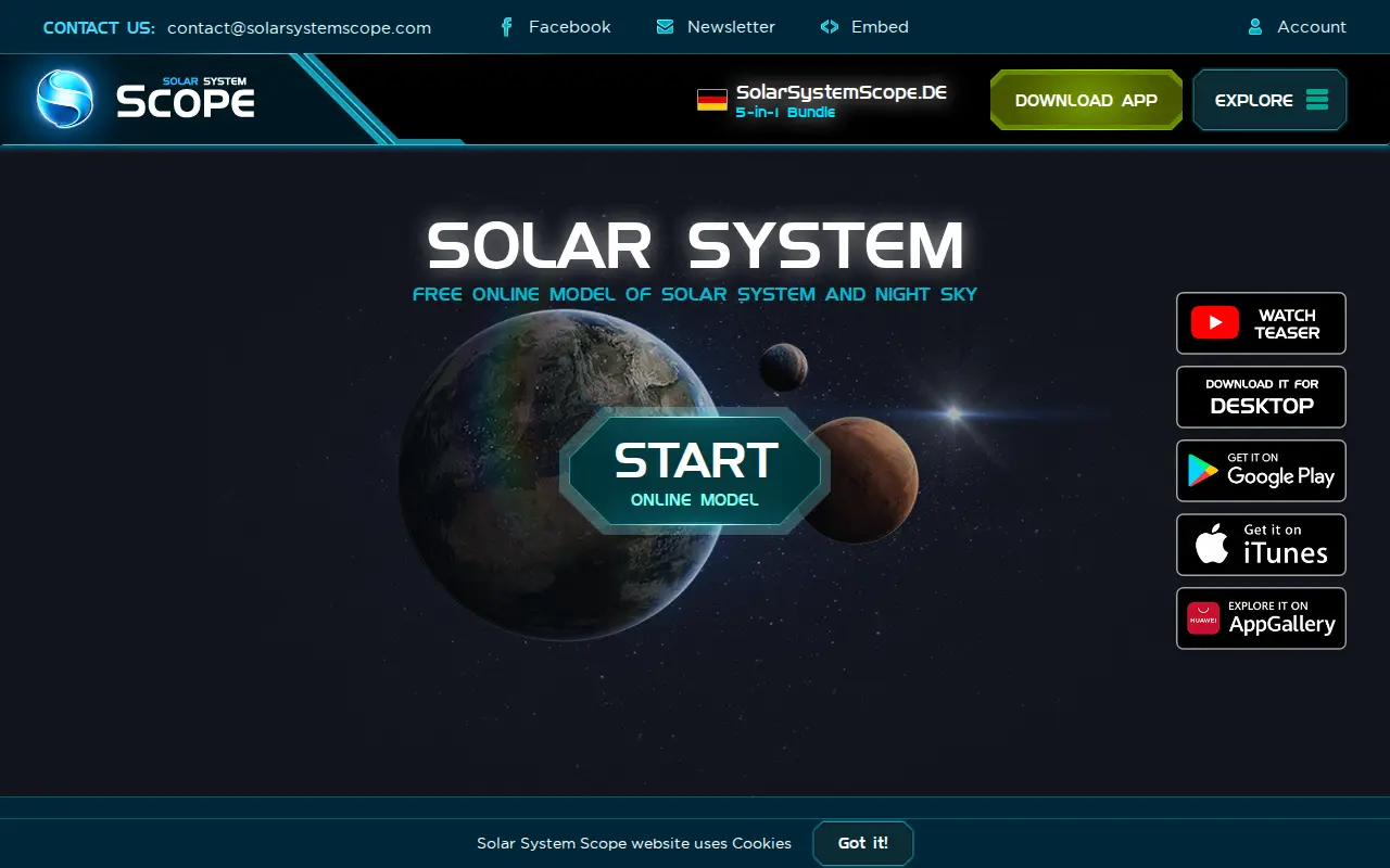
Solar System Scope is an online 3D simulation of the Solar System and night sky in real time, showing the Sun, planets, dwarf planets, comets, stars and constellations. It also offers a free model of the Solar System and night sky with accurate positions of objects. A desktop version and an Android app are available.
Features
- Online 3D simulation of the Solar System and night sky in real time Source: www.solarsystemscope.com
Links
Tags
-
0Track The Sky is a real-time 3D satellite tracker that follows over 9,000 satellites on an interactive 3D globe using live orbital data. It covers categories including space stations, Starlink, GPS and weather satellites. Features include clickable orbit paths, ground tracks, altitude and velocity, and overhead pass predictions.
-
0TheSkyLive provides information about celestial objects and tools for exploring and observing the night sky. It includes star maps, a 3D Solar System viewer, visibility listings for planets, comets and asteroids, and guides to eclipses and the Moon. Users can set an observing location, and without one the site defaults to Greenwich.
-
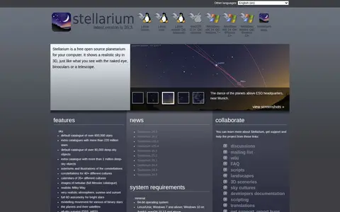
0Stellarium is a free open source planetarium for computers. It shows a realistic sky in 3D, as seen with the naked eye, binoculars or a telescope, and offers time control, telescope control and a plugin system. The site describes it as easy to use and provides a features list and system requirements.
-
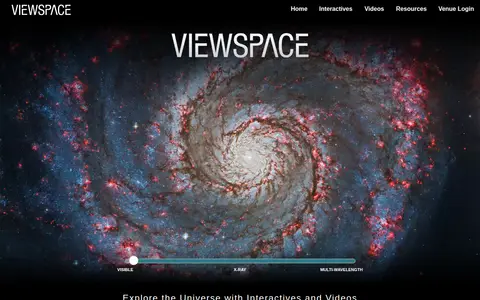
0ViewSpace is a free, web-based collection of astronomy and Earth science videos and interactives. It offers image tours, image sliders, and a video library that let users explore the planet, solar system, galaxy, and universe. The project is developed by the Space Telescope Science Institute with NASA support and has been exhibited in museums, planetariums, and science centers since 2000.
-
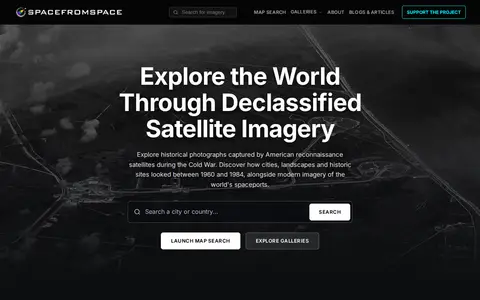
0SpaceFromSpace is an archive of satellite imagery that includes declassified Cold War reconnaissance photographs and modern spaceport views. Images are stitched and georeferenced from raw USGS datasets and presented on interactive maps, with galleries covering declassified, spaceport and recently added scenes.
-
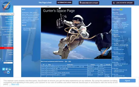
0An online resource established in 1996 covering space missions, satellites, launch vehicles and related space exploration activities. It includes directories such as a list of currently available satellite platforms organized by country and manufacturer.
Community notes
Reviews and discussion
No reviews yet
Be the first to share how this project worked for you.
Join the discussion
Sign in with a verified account to leave a review or join the discussion.
Sign in to review