

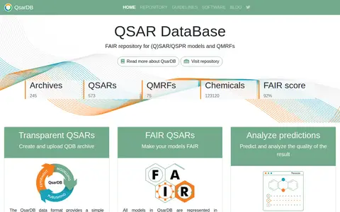
QsarDB is a repository for (Q)SAR/QSPR models and datasets, described as ready for discovery, exploring and citing. It hosts archives of QSARs, QMRFs and chemicals, states that models are represented in accordance with FAIR principles, and supports chemical search by exact structure, similarity and substructure.
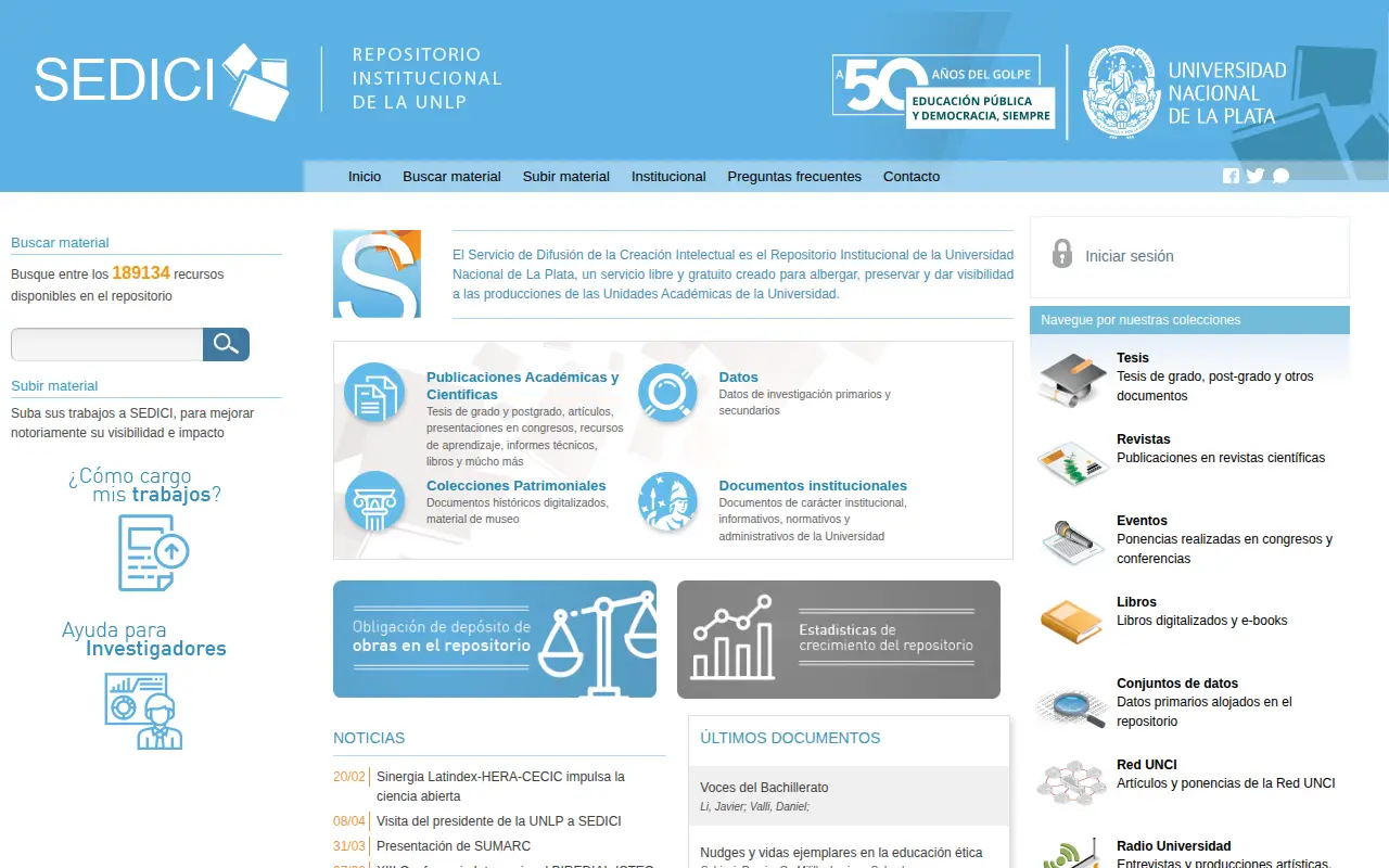
SEDICI
Searchable repository for finding engineering datasets and datasets.
Links
Tags
-
0QsarDB is a repository for (Q)SAR/QSPR models and datasets, described as ready for discovery, exploring and citing. It hosts archives of QSARs, QMRFs and chemicals, states that models are represented in accordance with FAIR principles, and supports chemical search by exact structure, similarity and substructure.
-
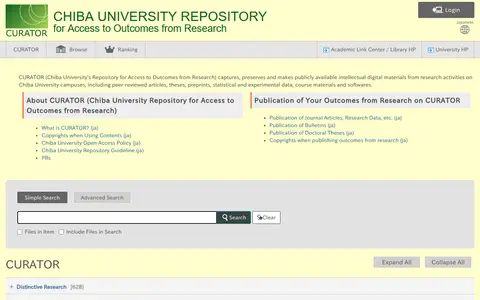
0CURATOR is Chiba University's open-access repository, capturing, preserving and making publicly available digital materials from research activities on its campuses. Items include peer-reviewed articles, theses, preprints, statistical and experimental data, course materials and software. It also provides guidance on publishing research outputs and on copyright.
-
0Dataset repository covering economics, with searchable datasets.
-
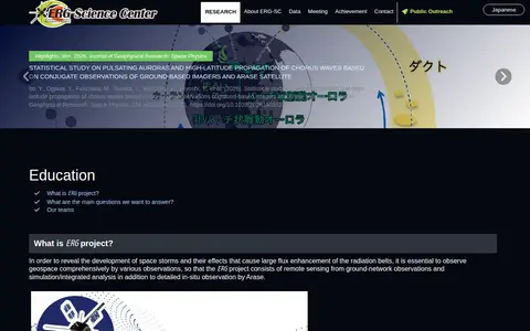
0The ERG Science Center is run by ISAS/JAXA and ISEE, Nagoya University, as a joint research center for space science. It archives data related to the ERG project and releases the data. The project combines Arase satellite in-situ observation with ground-network remote sensing and simulation or integrated analysis to study space storms and radiation belt flux enhancement.
-
0Austrian NeuroCloud is an open repository for neurocognitive research data. It provides secure data storage and integrated tools for maintenance, reuse and FAIR-aligned management of research data. Datasets can be browsed through a knowledge graph and connected with others via a Neurobagel federated search node. Researchers can bring data for curation, and accounts can be requested.
-
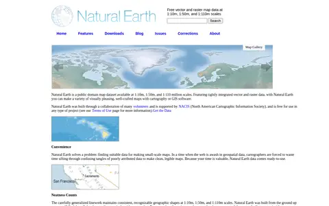
0Natural Earth provides free vector and raster map data at 1:10m, 1:50m, and 1:110m scales, developed as a resource for making custom maps. Vector data comes in ESRI shapefile format and raster data in TIFF format, both using the WGS84 datum. Attributes include ranked feature names and map design details such as river width and country colors.
Community notes
Reviews and discussion
No reviews yet
Be the first to share how this project worked for you.
Join the discussion
Sign in with a verified account to leave a review or join the discussion.
Sign in to review