



StreetComplete is an OpenStreetMap surveyor app. It finds missing map data in the user's vicinity and displays it on a map as quests, which are solved by visiting the location and answering a simple question. The info entered is added directly to OpenStreetMap in the user's name without using another editor.
NLS Maps
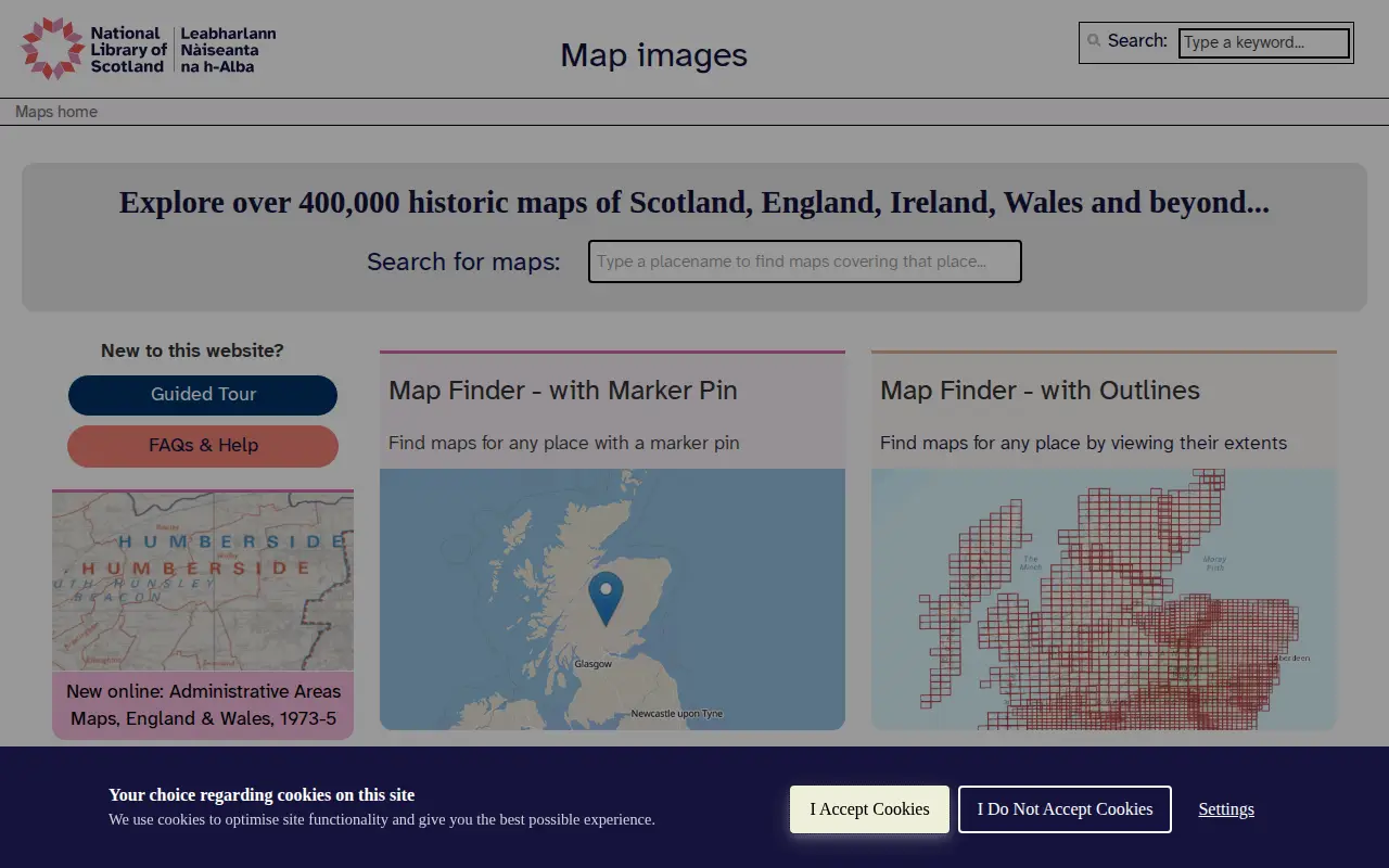
NLS Maps is a miscellaneous web resource for discovery, directories, archives, web culture, or useful tools.
Links
Tags
-
0
StreetComplete is an OpenStreetMap surveyor app. It finds missing map data in the user's vicinity and displays it on a map as quests, which are solved by visiting the location and answering a simple question. The info entered is added directly to OpenStreetMap in the user's name without using another editor.
-
0The Cartographers' Guild is a website and forum for enthusiasts of fantasy maps, mapmaking and cartography of all types. It is a community of fantasy map makers that provides tutorials, references and resources for fellow mapmakers.
-
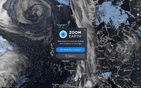
0Zoom Earth is an interactive weather map of the world showing rain, wind, temperature and pressure, with forecasts for a selected location. It also offers satellite imagery, rain radar updated in near real time, hurricane and storm tracking, and wildfire and smoke monitoring. Mobile apps are available for iPhone, iPad and Android.
-
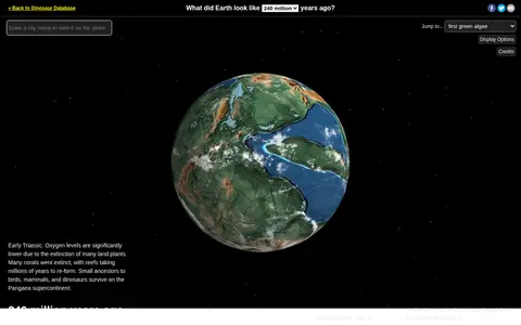
0Ancient Earth is a visualization of the globe across 750 million years of Earth's history. Users can search for addresses and step through time periods, viewing paleogeographic maps by C.R. Scotese, with a globe that can be rotated and options to show clouds and the equator.
-
0UrbanRail.Net is a site about metro, subway, and light rail systems. It lists cities including Amsterdam, London, Moscow, Tokyo, and Sydney, and offers publications such as a tram atlas. The site is maintained and updated by Robert Schwandl.
-
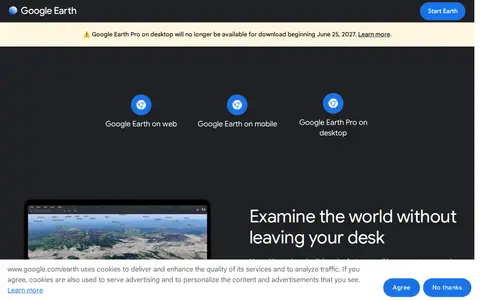
0Google Earth is available on web, mobile and desktop. On mobile it allows users to browse the globe, add placemarks and annotate maps. On desktop, Google Earth Pro offers advanced tools including importing and exporting GIS data and viewing historical imagery, on PC, Mac or Linux.
Community notes
Reviews and discussion
No reviews yet
Be the first to share how this project worked for you.
Join the discussion
Sign in with a verified account to leave a review or join the discussion.
Sign in to review