


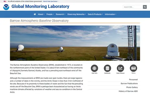
The Barrow Atmospheric Baseline Observatory is a NOAA Global Monitoring Laboratory site on the northernmost point of the United States, about 8 km northeast of Utqiaġvik, Alaska. Established in 1973, it is staffed year round by two engineers and scientists who perform routine inspections and maintenance of instruments, and it hosts cooperative research projects.
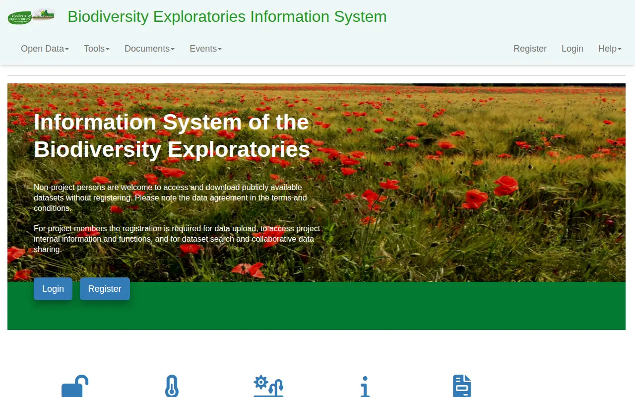
Biodiversity Exploratories Information System
Find and access agriculture, forestry and veterinary medicine research data, with indexed aggregated data.
Links
Tags
-
0The Barrow Atmospheric Baseline Observatory is a NOAA Global Monitoring Laboratory site on the northernmost point of the United States, about 8 km northeast of Utqiaġvik, Alaska. Established in 1973, it is staffed year round by two engineers and scientists who perform routine inspections and maintenance of instruments, and it hosts cooperative research projects.
-
0biodiversity.aq is the SCAR Antarctic Biodiversity Portal. It enables searching for Antarctic biodiversity occurrence records, aggregates data from SCAR and OBIS networks, and provides access to online tools, resources including identification keys, and news related to Antarctic biodiversity and climate observation initiatives.
-
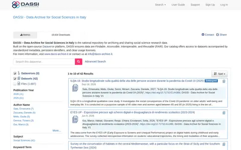
0DASSI is described as a national repository for archiving and sharing social science research data, built on the open-source Dataverse platform. Its catalog offers datasets with standardized metadata, persistent identifiers and usage licenses, and the page lists a set of dataset records.
-
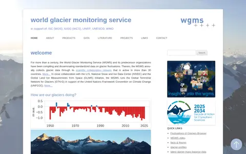
0The World Glacier Monitoring Service compiles and disseminates standardized data on glacier fluctuations, collecting glacier data annually through a scientific collaboration network active in more than 30 countries. With NSIDC and GLIMS, it runs the Global Terrestrial Network for Glaciers in support of the UNFCCC.
-
0RAMADDA is presented as a content management system for Earth Science data, hosted at the NSF Unidata Program Center. The site is described as NSF Unidata's RAMADDA data repository and notes that RAMADDA was originally developed at the NSF Unidata Program Center with support from the National Science Foundation.
-
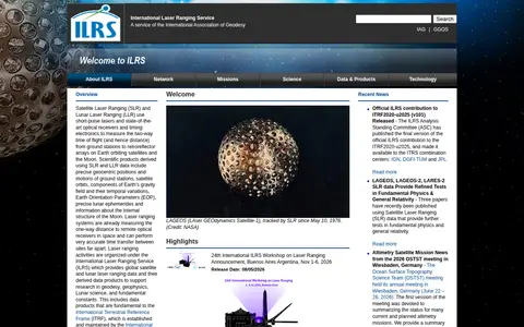
0The International Laser Ranging Service provides global satellite and lunar laser ranging data and derived data products. Satellite and lunar laser ranging use short-pulse lasers and optical receivers to measure two-way time of flight from ground stations to retroreflector arrays on satellites and the Moon. The service supports research in geodesy, geophysics, lunar science and fundamental constants.
Community notes
Reviews and discussion
No reviews yet
Be the first to share how this project worked for you.
Join the discussion
Sign in with a verified account to leave a review or join the discussion.
Sign in to review