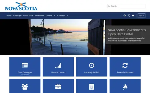
data.novascotia.ca
Research data portal for exploring engineering records, including datasets.
Recently added
Browse dated community launches and imported or editorial directory additions.
Research data portal for exploring engineering records, including datasets.
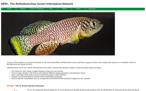
The Nothobranchius furzeri Information Network is a website providing information on the short-lived killifish Nothobranchius furzeri as a vertebrate model for developmental and aging research. It offers genome and transcriptome browsers, including the N. furzeri Genome Browser and Transcriptome Browser, plus Nothobranchius laboratory, protocol and publication listings.

Find published open datasets through filters, categories and keyword search.

Browse research datasets and datasets related to atmospheric, oceanography and climate.
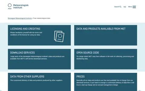
The Norwegian Meteorological Institute offers free access to much of its meteorological data and products through self-service download services. Customised delivery of data from other suppliers is also described, with charges for such arrangements.
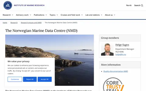
The Norwegian Marine Data Centre at the Institute of Marine Research is a national data centre for processing and long-term storage of marine environmental and fisheries data. It maintains Norway's largest collection of such data and produces data products. Its activities include operational data management, data storage, standards and guidelines, and participation in international networks and research projects.
The Northwest Territories Geological Survey Open Data portal provides a collection of geoscience information for the Northwest Territories. The survey, based in Yellowknife, formats the data for use in Excel, ArcGIS, and Google Earth.
Dataset repository covering agriculture, forestry and veterinary medicine, with searchable datasets.
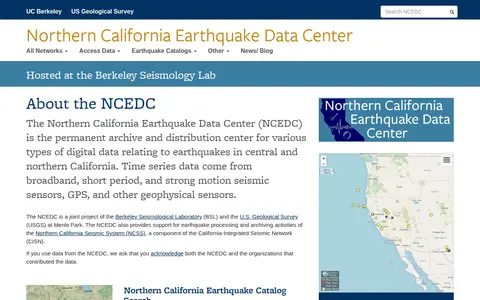
The Northern California Earthquake Data Center is a joint project of the Berkeley Seismological Laboratory and the U.S. Geological Survey. It serves as a permanent archive and distribution center for digital data on earthquakes in central and northern California, including time series data from seismic, GPS and other geophysical sensors. Online catalogs and web services support data queries.
An ArcGIS Hub open data portal for North Lanarkshire Council. It offers data discovery, analysis and download in formats including CSV, KML, Zip, GeoJSON, GeoTIFF and PNG, with API links for GeoServices, WMS and WFS. Users can analyze data with charts and thematic maps and create StoryMaps and Web Maps.

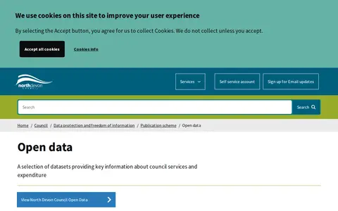
North Devon Council publishes datasets about council services and expenditure in CSV format as part of its responsibilities under the Protection of Freedoms Act 2012. The data is issued under the Open Government Licence, and re-users must attribute North Devon District Council and include the publication date from the website.

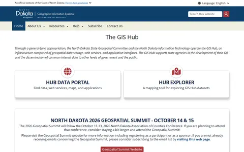
The GIS Hub is operated by the North Dakota State Geospatial Committee and North Dakota Information Technology. It is an infrastructure of geospatial data storage, web services, and application interfaces that supports state agencies' GIS development and shares common interest data with other government levels and the public. A data portal and Hub Explorer mapping tool provide access.

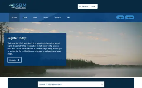
The North Carolina Open Data Portal is operated by the North Carolina Office of State Budget and Management (OSBM). It provides public access to state datasets, with features including data maps, charts, and API access.
Open data portal operated by Scottish local authority.
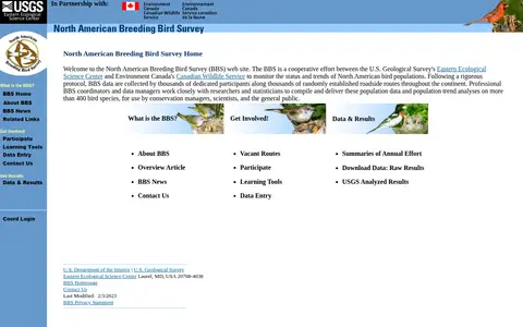
The North American Breeding Bird Survey is a long-term monitoring program that tracks the status and trends of North American bird populations. It is a cooperative effort between the U.S. Geological Survey's Eastern Ecological Science Center and Environment Canada's Canadian Wildlife Service. Data are collected by participants along randomly established roadside routes, and analyses cover more than 400 bird species.

Find published open datasets through filters, categories and keyword search.

Browse research datasets and datasets related to geophysics.

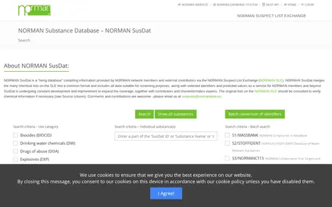
NORMAN SusDat is a living database that merges chemical lists from the NORMAN Suspect List Exchange into a common format for screening purposes. It includes selected identifiers and predicted values and is under constant development. Users should consult the original lists to verify chemical information.

Find and access geosciences research data, with indexed geospatial data.
Searchable repository for finding humanities and social datasets and datasets.

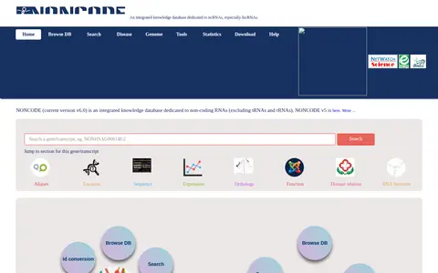
NONCODE is an integrated knowledge database dedicated to non-coding RNAs, excluding tRNAs and rRNAs, with a focus on lncRNAs. The current version is v6.0. It offers browsing by species and type, searching entries, statistics, BLAST similarity searches, disease-related information, genome locations, ID conversion, downloads, predicted functions and cross-species conservation.

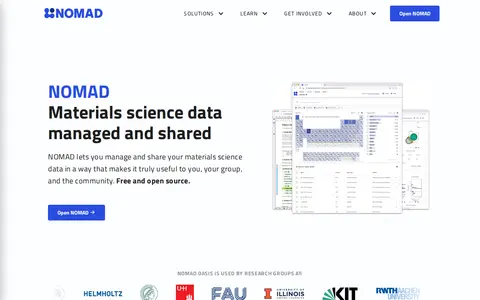
NOMAD is a free and open-source service for managing, sharing and publishing materials science data. It processes uploaded files to extract structured data and metadata, supports over 60 formats, and provides search, preview and download functions. All functionality is accessible via APIs, and published data is available under a CC-BY-4.0 license. NOMAD Oasis offers local installation with access control for research groups.
ArcGIS Hub site for discovering, analyzing and downloading data. Data can be downloaded in CSV, KML, Zip, GeoJSON, GeoTIFF or PNG formats, and API links are provided for GeoServices, WMS and WFS. Charts and thematic maps are available for analysis, and users can create StoryMaps and Web Maps.

Searchable repository for finding atmospheric, oceanography and climate datasets and geospatial data.