historischcentrumlimburg.nl
Search humanities and social data collections and supporting image from NLD.
Directory
Published directory entries matching your search.
Search humanities and social data collections and supporting image from NLD.

HubbleSite is NASA’s official multimedia hub for the Hubble Space Telescope. It provides free downloadable resources including e-books, images, fact sheets, and lithographs, as well as interactive games, videos, and audio sonifications focused on the Hubble mission and space science. The page also links to broader NASA news, events, and other space mission resources.
Search engineering data collections and supporting image from USA.
IDEM is an interdisciplinary database of manuscripts and printed books relevant to the Alamire Foundation's research, focusing on the musical heritage of the Low Countries from the early Middle Ages until 1800. It contains digital images of manuscripts and prints digitized by the Alamire Digital Lab, complemented by interrelated sub-databases for studying sources from multiple perspectives.

The IDIA Science Gateway Public Data Archive provides a public data archive for IDIA support projects. It includes the first superMIGHTEE uGMRT data release with Stokes I mosaic images and source catalogues from observations of XMM-LSS, COSMOS and ECDFS, along with image and catalogue files for software testing and CARTA tutorials.

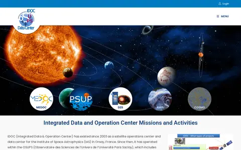
Research data portal for exploring astrophysics and astronomy records, including image.

Find and access engineering research data, with indexed image.

Open-source browser extension that enhances YouTube, giving users more control over content discovery, playback, and look and feel. It offers options such as permanent playback speed, disabling up-next autoplay, auto-pause when switching tabs, hiding ads, and locking video quality. The extension runs offline to modify the local view, and development dates back to 2012.

Browse research datasets and image related to basic in biology and medicine.

Find and access geography research data, with indexed image.

Research data portal for exploring biology records, including image.

A web tool for viewing Google Street View imagery of supported locations by address or place name. Views can be shared and saved, and random locations can be explored. A Pro subscription adds high-resolution image downloads, no adverts, unlimited search and historical imagery; free users are limited to 20 autocomplete queries per day.
Searchable repository for finding art history, music, theatre and media studies datasets and image.

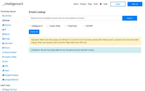
Intelligence X is a provider of free open source intelligence (OSINT) and forensic tools for investigative use. The platform offers a suite of tools for searching third-party sites, performing social media intelligence on Facebook, Twitter, LinkedIn, Telegram and YouTube, plus utilities for validating email addresses, looking up domains, IPs, Bitcoin addresses, images and other data types.

A free collection of search tools from IntelTechniques, described as a supplement to the book OSINT Techniques, 11th Edition. It links to query categories including search engines, social networks, email addresses, usernames, names, addresses, telephone numbers, maps, documents, images, videos, domains, and IP addresses. Queries run in the user's own browser.

Find and access humanities and social research data, with indexed image.

Research data portal for exploring agriculture, forestry and veterinary medicine records, including image.

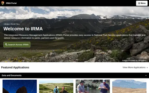
The IRMA Portal is the entry point to the National Park Service's Integrated Resource Management Applications, giving access to applications that manage and deliver resource information to parks, partners and the public. It also offers search across IRMA and lists featured applications, with images provided by NPGallery.

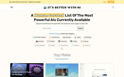
It's Better With AI is a human-curated directory of AI tools organized by categories such as coding, image generation, writing and summarization. The site lists tools with brief descriptions and starting prices, and offers a weekly newsletter for new AI tools and updates. It includes a submission page and a contact page for a human.
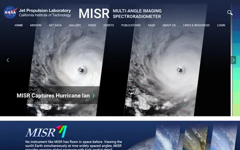
The Multi-angle Imaging SpectroRadiometer (MISR) is a NASA instrument onboard the Terra satellite, presented by the Jet Propulsion Laboratory. The site offers news, events, image quizzes and visualizations including 3D globe animations, world maps and stereo anaglyphs. It also references a tool for the MISR Plume Height Project.

Search agriculture, forestry and veterinary medicine data collections and supporting image from THA.
Search agriculture, forestry and veterinary medicine data collections and supporting image from USA.

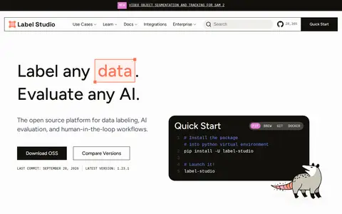
Label Studio is an open source data labeling and annotation platform for multi-modal data, including text, images, audio and time series. It lists uses such as LLM and agent evaluation, computer vision, NLP and document tasks, and audio transcription. It offers API, Python SDK and webhooks, and is available via pip, Homebrew, Git and Docker.

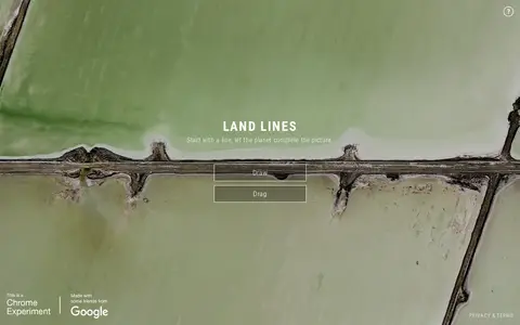
Land Lines is a Chrome experiment that lets users explore real Google Earth satellite imagery through gesture. Drawing finds satellite images matching a line, while dragging creates an infinite line of connected rivers, highways and coastlines. It runs in a phone or desktop browser without backend servers using machine learning and WebGL.