datacatalog.cookcountyil.gov
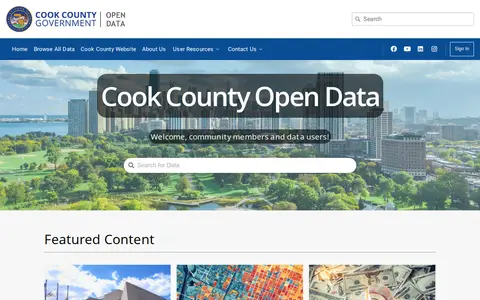
Search and download open datasets published for Cook County, USA.
Directory
Published directory entries matching your search.
Search and download open datasets published for Cook County, USA.

Browse public datasets, metadata and downloadable records in an open catalog.

Open data portal for searching and downloading public datasets.

Open data portal for searching and downloading public datasets.
Open data portal for searching and downloading public datasets.

Browse public datasets, metadata and downloadable records in an open catalog.
Search and download open datasets published for Enna, Italia.

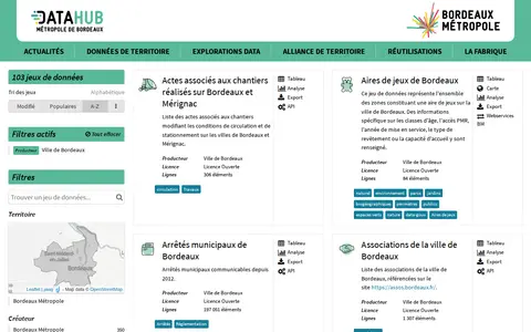
Search and download open datasets published for City of Bordeaux, France.

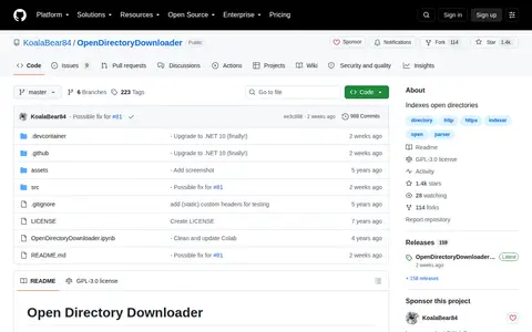
Open Directory Downloader indexes open directory listings across more than 130 supported formats, including FTP, Google Drive, AList, and GoIndex. It is written in C# with .NET (Core) and is cross-platform. Downloading is not yet implemented, but the resulting file can be used with tools such as wget or aria2c.

Open Directory Finder is a web tool that enables users to search for various content types such as video, audio, pictures, software, and games across open directories. It offers loose and strict search modes.
Open directory search page for finding browsable folders and public file listings.

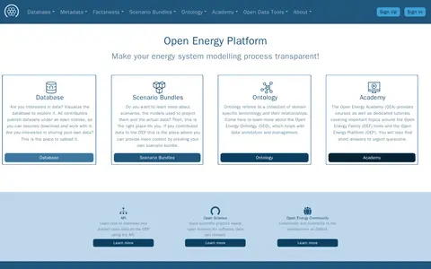
The Open Energy Platform is a site for making energy system modelling transparent. It offers a database where contributors publish datasets under an open license for download, scenario bundles giving context to contributed data, and the Open Energy Ontology for data annotation and management. An academy provides courses and tutorials on Open Energy Family tools.

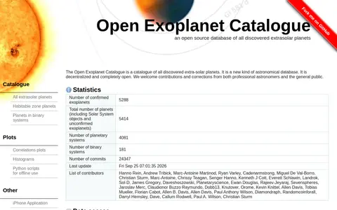
The Open Exoplanet Catalogue is a decentralized, open-source database of discovered extrasolar planets. The website displays the catalogue in a browser, while the data is stored as human-readable XML files in a git version control system. Contributions and corrections are accepted from professional astronomers and the public, and data can be downloaded from the GitHub repository.

Search and download open datasets published for Amsterdam.
Search and download open datasets published for Kent, UK.
Search and download open datasets published for Raleigh, NC.
Open SDG Data Hub is an ArcGIS Hub platform focused on dataset discovery and access. It allows users to discover, analyze and download data in formats including CSV, KML, Zip, GeoJSON, GeoTIFF and PNG. The platform provides API links for GeoServices, WMS and WFS, and supports the creation of StoryMaps and Web Maps for data visualization.

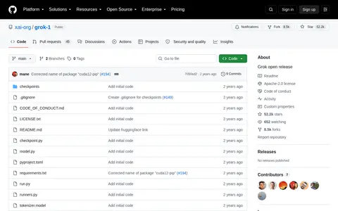
This GitHub repository hosts the open-source release of xAI's Grok-1 model. It provides model specifications, guidance for downloading model weights, associated license information, and accepts community contributions to the project.

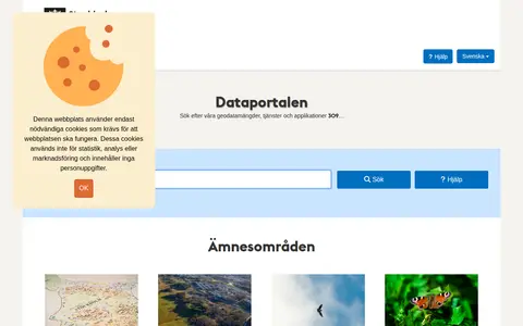
Open-data catalog covering Stockholm, Sweden, with filters and downloadable records.

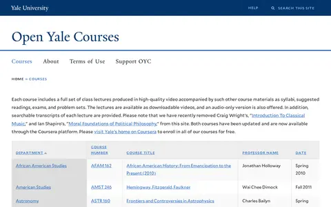
Open Yale Courses is a free educational resource providing full sets of materials for Yale undergraduate courses. Each course includes high-quality recorded video lectures, syllabi, suggested readings, exams, and problem sets. Lectures are available as downloadable videos, audio-only files, and searchable transcripts. Some previously listed courses have been removed and are now accessible via Yale's official Coursera platform.

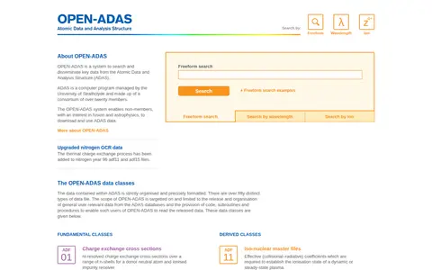
OPEN-ADAS is a system for searching and distributing key data from the Atomic Data and Analysis Structure (ADAS), a computer program managed by the University of Strathclyde. It allows non-members interested in fusion and astrophysics to download and use ADAS data. The service supports searches by freeform text, wavelength and ion, and covers numerous data formats.
open-loiret.opendata.arcgis.com is an ArcGIS Hub site that provides access to geospatial datasets. Users can discover, analyze and download data in formats including CSV, KML, Zip, GeoJSON, GeoTIFF and PNG. The site offers API links for GeoServices, WMS and WFS, and supports the creation of StoryMaps and Web Maps.

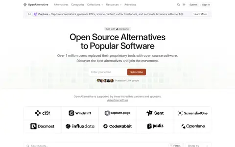
OpenAlternative is a curated collection of open source alternatives to everyday SaaS products. The site lists projects with repository stars, last commit times, licenses, and short descriptions, and notes support from partners and sponsors. It describes itself as a crowdsourced directory of open-source software.

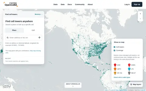
OpenCelliD is a community-built open database of cell towers and their estimated locations. Contributors record nearby cell identifiers with GPS locations, and the data is processed into cell location estimates. The dataset covers GSM, CDMA, UMTS, LTE and 5G NR networks and is available through an API and CSV downloads, supporting device geolocation without GPS.