
artsandculture.google.com
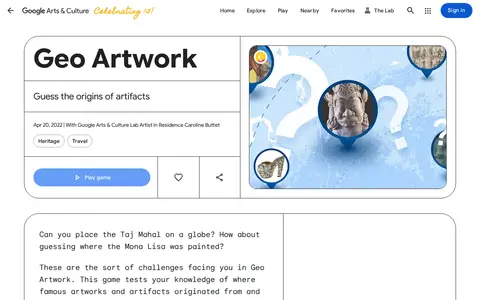
GeoArtwork is a geography or map-based game resource for exploring places, clues, or location challenges.
Directory
Published directory entries matching your search.
GeoArtwork is a geography or map-based game resource for exploring places, clues, or location challenges.

Google's main web search engine for finding pages, images, videos, maps, news, and online information.
Radio cell database for mapping mobile network cells, radio coverage, and related infrastructure.

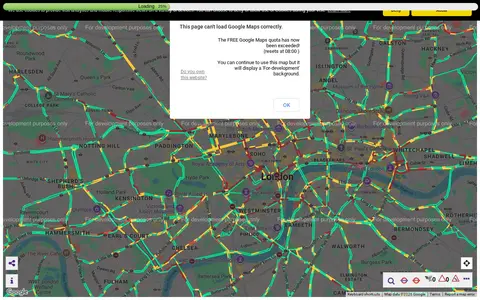
Transport for London camera viewer showing live traffic cameras and road conditions.

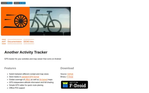
AAT (Another Activity Tracker) is a GPS tracker and map viewer for Android. It stores tracks in GPX format, switches between cockpit and map views, and provides offline and tile-based maps with altitude information and hill shading. It includes a simple GPX editor for route planning and offline POI support.

The Allen Brain Map is an Allen Institute for Brain Science resource for characterizing and mapping brain cells. It provides reference anatomical atlases and datasets including adult mouse, adult human and developing brain atlases, alongside a Brain Knowledge Platform for exploring, analyzing and visualizing multi-modal neuroscience data, with documentation covering guides, API references and tutorials.

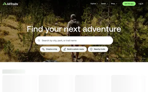
AllTrails is an app for hiking, biking, and running that provides curated guides, trail maps, photos, and reviews for over 500,000 trails worldwide. It offers live tracking, downloadable maps for offline use, and tools to create custom routes.
Alternatehistory.com is a discussion forum for alternate history scenarios, with sections for divergences before and after 1900. It also hosts finished timelines and scenarios, threads on published alternate history books and media, and user-created flags and maps. A companion wiki lets members add and edit articles, timelines and maps.

AniGuessr is a geography or map-based game resource for exploring places, clues, or location challenges.

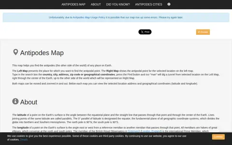
A mapping tool that finds the antipodal point of any place on Earth. Users enter a country, city, address, zip code or coordinates, and the site displays the original location on one map and its diametrically opposite location on another. Both maps can be moved and zoomed, and the address and coordinates are shown below each map.
The Association of Religion Data Archives (ARDA) is a reference source for data and information on American and international religion, operating since 1997. It provides interactive reports, maps, timelines and datasets for more than 1,000 religious groups, dozens of religious families and multiple religious traditions. Resources include US Religion Census data, congregational membership reports with maps and trend charts, and religion demographics reports for specific US zip codes.

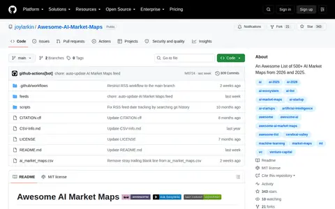
A curated list of AI market maps from 2026, 2025, and 2024, by Joy Larkin.
ArcGIS Hub page for discovering, analyzing and downloading data. Files can be downloaded in CSV, KML, Zip, GeoJSON, GeoTIFF or PNG formats, and API links are provided for GeoServices, WMS and WFS. Analysis is available through charts and thematic maps, and users can create StoryMaps and Web Maps.

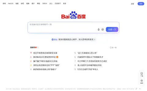
Chinese search engine for web pages, images, news, maps, apps, and local services.
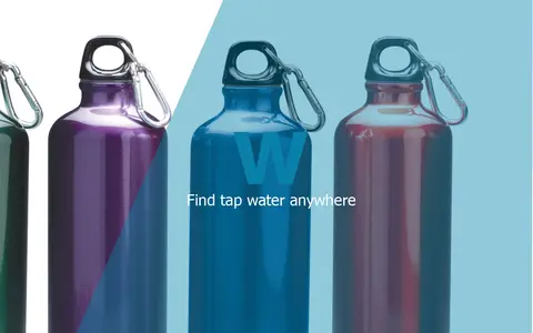
BlueW is a map of free water bottle refill locations. Users look for the blueW.org window decal at listed locations to refill reusable water bottles. The site also invites users to add refill locations to the map.
Bonk is a multiplayer physics game for up to eight players at once, in which players push opponents off the edge of the level and the last one standing wins. It offers last-man-standing and team-based matches, an in-game level editor, and community-created custom maps. The current HTML5 version replaced the earlier Flash game, and accounts, maps and skins were transferred.

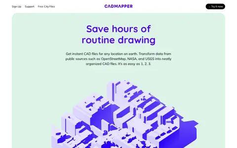
Cadmapper creates 3D CAD files of any area in the world from public data sources such as OpenStreetMap, NASA and USGS, producing organized, layered drawing files. Areas up to 1 km2 are free, files up to 100 km2 cost a small fee, and whole-city road network DXF files are free. It targets designers, architects and illustrators, with support for AutoCAD and SketchUp.
The California State Geoportal is a site for discovering, analyzing and downloading data. Downloads are offered in CSV, KML, Zip, GeoJSON, GeoTIFF or PNG, and API links are provided for GeoServices, WMS and WFS. Users can analyze data with charts and thematic maps and create StoryMaps and Web Maps.

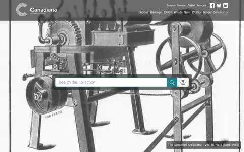
Canadiana.ca is a digital collection of Canadian documentary heritage. Its Monographs collection spans three and a half centuries of Canadian documentary history. The Serials collection includes dailies, weeklies, specialized journals and mass-market magazines, as well as city directories and annual reports from churches, schools and corporations. Government Publications holds over 1.7 million pages of historical pre-1920 colonial, provincial and federal government documents. The Maps collection contains nearly 22,000 Canadian maps digitized from the 1:50,000 scale National Topographic Series, dating from 1905 to 2012.

Cesium story viewer for exploring 3D geospatial scenes, maps, satellite data, and location narratives.
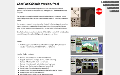
CharPad C64 is a Commodore 64 character graphics editor for Windows. It simulates the C64 video formats and is used to design character sets, tiles, fonts and maps, or to import and convert bitmap images into C64-compatible tile maps. The listed free version is portable, requiring no installation.

ChunkBase offers a collection of apps for Minecraft, including a Seed Map and Seed Finder. The apps help find Minecraft seeds and locate biomes and structures on an interactive map. Version support varies across apps.
This hub provides access to City of Abbotsford open data for discovery, analysis and download. Data can be downloaded in CSV, KML, Zip, GeoJSON, GeoTIFF or PNG formats, and API links are available for GeoServices, WMS and WFS. Charts and thematic maps support analysis, and users can create StoryMaps and Web Maps.
An ArcGIS Hub catalogue for Brantford open data. It lets users discover, analyze and download datasets as CSV, KML, Zip, GeoJSON, GeoTIFF or PNG, and find API links for GeoServices, WMS and WFS. Charts and thematic maps support analysis, and StoryMaps and Web Maps can be created.