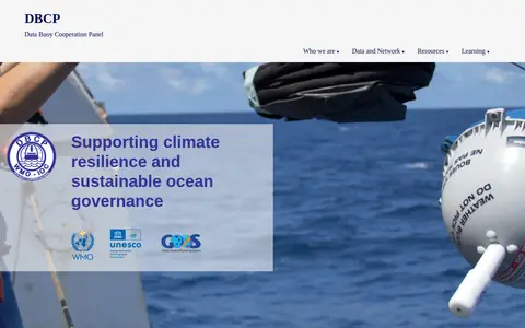
The Data Buoy Cooperation Panel (DBCP) is a global program coordinated by the WMO and IOC-UNESCO. It manages networks of autonomous ocean buoys, including drifting buoys, moored buoys, and tsunameters. DBCP supports climate resilience and sustainable ocean governance by collecting and providing ocean observation data. The network comprises over 1,500 active buoys covering 361 million km² and has operated for more than 50 years.
Directory
Search results
Published directory entries matching your search.
Dataset repository covering agriculture, forestry and veterinary medicine, with searchable geospatial data.
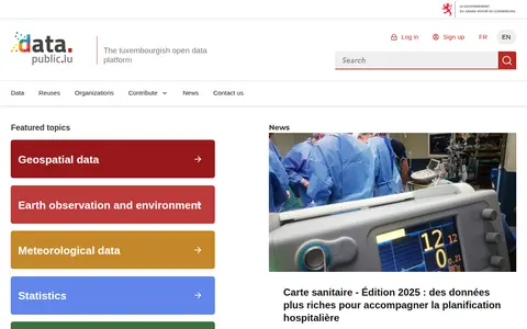
data.public.lu is the official open data portal of Luxembourg. It hosts public datasets, data reuses and related resources, with featured topic areas including geospatial data, earth observation and environment, meteorological data, statistics, mobility and companies.
Datacast is the personal blog and podcast series of James Le. It features written posts and podcast episodes covering topics such as data infrastructure, data observability, responsible AI, product management, and data engineering.
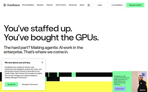
DataRobot is a unified agent workforce platform for enterprise use. It delivers AI applications and a platform designed to maximize AI impact and minimize business risk, supporting the building, operation, and governance of AI agents. Its offerings include foundational, business, and purpose-built agents, an agentic AI platform, generative AI and predictive AI tools, AI governance and observability features, and industry and function-specific agent solutions.
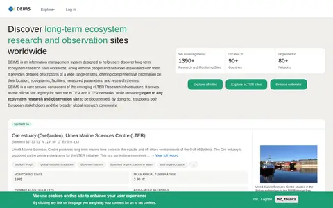
DEIMS is an information management system for discovering long-term ecosystem research and observation sites worldwide, along with associated people and networks. It gives detailed descriptions of sites including location, ecosystems, facilities, measured parameters and research themes, and serves as the official site registry for the eLTER and ILTER networks while remaining open to any site.
Drought Central is a drought observatory by CNR IBE that publishes drought situation bulletins and a WebGIS. The site notes that some content is available only in Italian and includes a bulletins archive, press review, and X profile links.
A service of the SNSB IT Center that provides access to occurrence data, including collection and observation data, with searchable catalogs for each dataset. It connects Diversity Workbench services with a BioCASe provider software installation and an RDF service for machine readability, organizing metadata with Linked Open Data requirements and stable URIs.
The Earth System Grid Federation is an open source collaboration that develops, deploys and maintains software infrastructure for managing, disseminating and analysing model output and observational data. Its peer-to-peer system serves climate data from multiple locations, including model simulations, satellite observations and reanalysis products. The project also states that the esgf-ansible installation playbooks were deprecated on 1 November 2023.
The ERG Science Center is run by ISAS/JAXA and ISEE, Nagoya University, as a joint research center for space science. It archives data related to the ERG project and releases the data. The project combines Arase satellite in-situ observation with ground-network remote sensing and simulation or integrated analysis to study space storms and radiation belt flux enhancement.
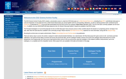
The ESO Science Archive Facility stores and provides access to data from ESO telescopes at the La Silla Paranal Observatory, including the APEX submillimeter telescope. It holds raw data with corresponding calibrations and selected contributed or ESO-generated products. Principal Investigators have exclusive access to their data during a proprietary period, normally one year. Browsing does not require authentication.
Search agriculture, forestry and veterinary medicine data collections and supporting observational data from EEC.
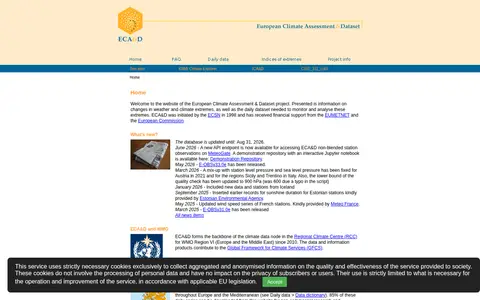
The European Climate Assessment & Dataset project presents information on changes in weather and climate extremes and the daily dataset used to monitor and analyse them. It receives data from 89 participants for 65 countries at 26325 meteorological stations, and 86% of daily series can be downloaded for non-commercial research and education. The E-OBS gridded dataset covers 1950-01-01 to 2025-12-31.
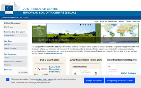
The European Soil Data Centre (ESDAC) is a resource hosted by the European Commission Joint Research Centre, focused on soil-related data and knowledge. It is part of the EU Soil Observatory, and provides datasets, maps, documents and indicators covering topics including soil properties, erosion and soil threats.
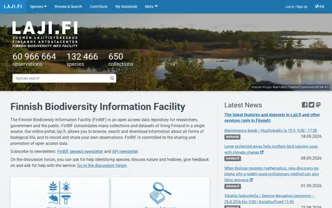
The Finnish Biodiversity Information Facility (FinBIF) is an open access data repository serving researchers, government bodies and the general public. It consolidates numerous collections and datasets related to living organisms in Finland into a single centralized source. Its online portal laji.fi enables users to browse, search, and download information on all forms of biological life, as well as record and share their own biological observations. FinBIF is committed to promoting and sharing open access biodiversity data.
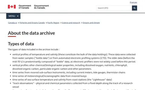
An archive of oceanographic data from Fisheries and Oceans Canada's Pacific Region. It holds vertical profiles of temperature, salinity and other water properties, time series from moored instruments, buoys, coast stations and research vessel track observations. Geographic coverage includes B.C. coastal and shelf waters, the open North Pacific, Beaufort Sea and Arctic Archipelago, with records mainly from the 1930s onward. Data are stored as ASCII files and a searchable header database exists.
Find and access biology research data, with indexed observational data.
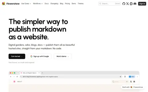
FlowerShow is a no-code platform that converts markdown files into hosted websites. It supports use cases including digital gardens, blogs, wikis, and documentation sites. Key features include backlink mapping, interactive knowledge graphs, automatically linked searchable wikis, sidebar navigation and full-text search for documentation, password protection, and comment functionality. The service natively supports CommonMark, GFM, Obsidian wikilinks, Mermaid diagrams, and LaTeX math, and is free to use with no credit card required.
Research data portal for exploring biology records, including dataset.
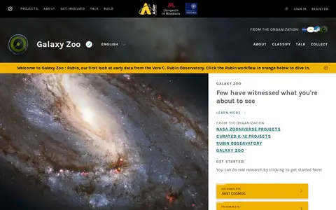
Galaxy Zoo is a Zooniverse volunteer project where participants classify telescope images of distant galaxies by shape to help astronomers understand galaxy formation. Early data from the Vera C. Rubin Observatory is shown in the Rubin workflow. Volunteers' classifications are backed up by the work of others.
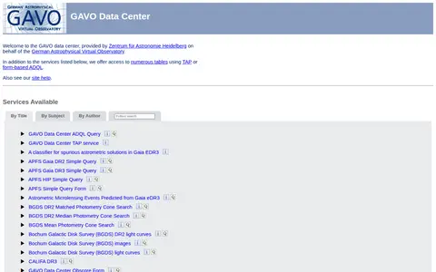
The GAVO Data Center is operated by Zentrum für Astronomie Heidelberg for the German Astrophysical Virtual Observatory. It provides access to numerous tables via TAP or form-based ADQL and lists services including ADQL queries, cone searches, spectra and catalogues such as Gaia, Hipparcos and ROSAT data.
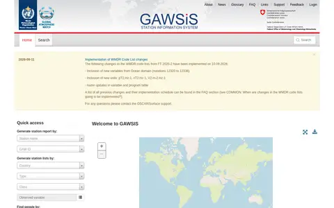
GAWSIS is the official catalogue of observing facilities, observations and contacts supporting the World Meteorological Organization's Global Atmosphere Watch Programme. It is a test environment, with the operational version available at GAWSISOSCAR.
GDDP is a project started by Trusta that orders Geometry Dash levels into tiers by difficulty, aiming to help players improve by completing tiers from Beginner to Obsidian. The site offers completion tracking, leaderboards, a Geode mod and a private server.
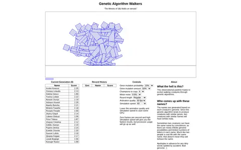
HTML5 interactive web tool that evolves biped walker creatures using genetic algorithms. Users can adjust parameters including mutation probability, animation quality, and simulation speed to observe how creatures develop walking traits across generations. Creature names are generated from their genomes, and scoring rewards upright walking and forward progress.