Directory

Search results

Published directory entries matching your search.

Search results

400 listings

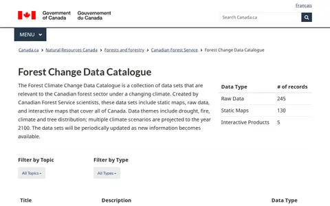
The Forest Climate Change Data Catalogue is a collection of data sets relevant to the Canadian forest sector under a changing climate. Created by Canadian Forest Service scientists, the data sets include static maps, raw data and interactive maps covering all of Canada. Themes include drought, fire, climate and tree distribution, with multiple climate scenarios projected to the year 2100. Data sets are periodically updated as new information becomes available.

Dataset & Data Search 0
gamermaps.net

GamerMaps provides detailed interactive maps for PC and console games, with features for loot spawns, vehicle spawns and a building database. The site lists maps for numerous popular games with individual version updates.

Game Tools & Utilities 0
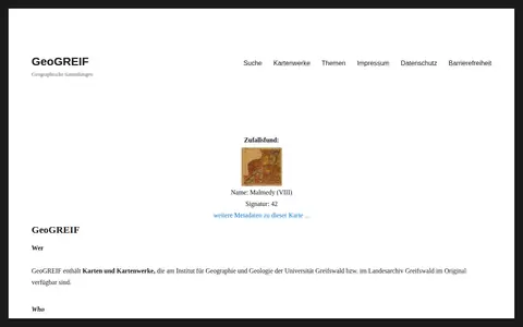
geogreif.uni-greifswald.de

GeoGREIF is a digital collection of maps and map works held in original form at the Institute for Geography and Geology of the University of Greifswald and the Greifswald State Archive. Each recorded map carries Dublin Core metadata to aid discovery, and maps are arranged thematically in collections that institute staff continue to expand.

Academic & Research Search 0
data-hub.gio.georgia.gov

Georgia GIO Data Hub is a public data portal for discovering, analyzing and downloading data. Files are available in CSV, KML, Zip, GeoJSON, GeoTIFF or PNG, and the site provides API links for GeoServices, WMS and WFS. Users can analyze data with charts and thematic maps and create StoryMaps and Web Maps.

Dataset & Data Search 0
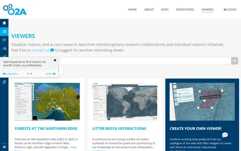
portal.o2a-data.de

The GIS Maps Portal at AWI is part of the O2A Data Portal, which was developed by scientists for scientists to support FAIR research data management. It enables users to publish, visualize, browse, and access research data from both interdisciplinary research collaborations and individual research initiatives.

Dataset & Data Search 0
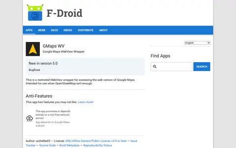
f-droid.org

An Android app that wraps the web version of Google Maps in a restricted WebView for access when OpenStreetMap isn't enough. It depends on the Google Maps website, a non-free network service. It requires Android 5.0 or newer and is licensed under the GNU Affero General Public License v3.0 or later.

Maps & Navigation 0
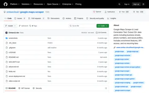
github.com

Google Maps Scraper & Lead Generation Tool. Extract 50+ data points including business emails, phone numbers, and social profiles. Includes enrichment features, API access, and no recurring fees

Google Communities & Tools 0
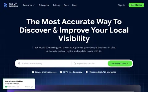
gridmybusiness.com

A local SEO tool that scans geo-grids to show Google Maps rankings across multiple locations and offers AI-assisted optimization of Google Business Profiles. It includes rank tracking, competitor tracking, support for service area businesses, and AI search visibility checks. Agency features include white-label PDF reports, organized workspaces, and secure team management.

SEO & Website Analytics 0
hifld-geoplatform.hub.arcgis.com

The HIFLD Open Portal is an ArcGIS Hub platform that allows users to discover, analyze, and download datasets in formats including CSV, KML, Zip, GeoJSON, GeoTIFF and PNG. It also provides access to geospatial service APIs, enables analysis with charts and thematic maps, and supports creation of StoryMaps and Web Maps.

Dataset & Data Search 0
map-highland.opendata.arcgis.com

Highland Council Open Map Data is a portal for discovering, analyzing and downloading map data. Data can be downloaded in formats including CSV, KML, Zip, GeoJSON, GeoTIFF and PNG, and API links are available for GeoServices, WMS and WFS. Charts, thematic maps, StoryMaps and Web Maps are also offered.

Dataset & Data Search 0
inciweb.nwcg.gov

US incident information system for wildfires, emergency incidents, maps, and official updates.

Maps & Navigation 0
opendata.go.ke

Kenya Open Data is an ArcGIS Hub-powered platform that enables users to discover, analyze, and download datasets in formats including CSV, KML, Zip, GeoJSON, GeoTIFF and PNG. It provides API links for GeoServices, WMS and WFS, supports analysis via charts and thematic maps, and allows creation of StoryMaps and Web Maps.

Dataset & Data Search 0
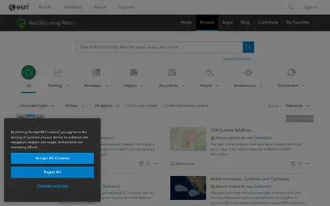
livingatlas.arcgis.com

ArcGIS Living Atlas offers curated maps, imagery, demographic layers, and global geographic datasets.

Maps & Navigation 0
mapquest.com

MapQuest provides maps, route planning, driving directions, traffic, and local place search.

Maps & Navigation 0
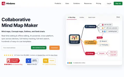
mindomo.com

Mindomo is an online mind map maker with AI that turns ideas into mind maps, concept maps, outlines or Gantt charts, available on web, desktop and mobile. It supports collaboration, task management, presentations and integrations.

Text Editors & Formatting 0

The Mississippi Geospatial Data Catalog is a platform for discovering, analyzing and downloading geospatial data from Mississippi. Data can be downloaded in CSV, KML, Zip, GeoJSON, GeoTIFF or PNG formats. The catalog provides API links for GeoServices, WMS and WFS. Users can analyze data using charts and thematic maps, and create StoryMaps and Web Maps with the content.

Dataset & Data Search 0

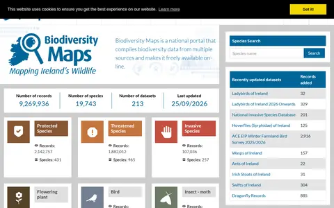
Biodiversity Maps is the National Biodiversity Data Centre's mapping system, integrating terrestrial and marine observational data. It serves as a portal for geographic presentation of Ireland's biological data and compiles biodiversity records from multiple sources, making them freely available online.

Dataset & Data Search 0
noisiel-agglo-pvm.opendata.arcgis.com

ArcGIS Hub site for discovering, analyzing and downloading data. Data can be downloaded in CSV, KML, Zip, GeoJSON, GeoTIFF or PNG formats, and API links are provided for GeoServices, WMS and WFS. Charts and thematic maps are available for analysis, and users can create StoryMaps and Web Maps.

Dataset & Data Search 0
normalmapgenerator.art

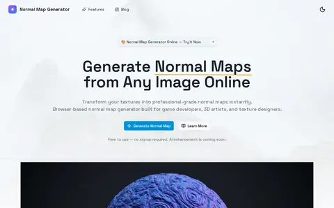
Normal Map Generator is a browser-based tool that converts 2D images, such as height maps or photos, into normal maps that simulate 3D surface detail. It offers real-time 3D preview, material presets, and exports in PNG, JPEG, or OpenEXR formats. All processing occurs locally in the browser.

Design Assets & Inspiration 0
gisdata.northlanarkshire.gov.uk

An ArcGIS Hub open data portal for North Lanarkshire Council. It offers data discovery, analysis and download in formats including CSV, KML, Zip, GeoJSON, GeoTIFF and PNG, with API links for GeoServices, WMS and WFS. Users can analyze data with charts and thematic maps and create StoryMaps and Web Maps.

Dataset & Data Search 0
oalley.net

OALLEY creates travel-time maps, isochrones, and reachable-area analysis from chosen locations.

Maps & Navigation 0
gishub-kilgore.hub.arcgis.com

Open Data for Kilgore, also known as Kilgore GIS Hub, provides geospatial data for download in formats like CSV, KML, Zip, GeoJSON, GeoTIFF, and PNG. It offers API links for GeoServices, WMS, and WFS, and supports analysis with charts and thematic maps, as well as creation of StoryMaps and Web Maps.

Dataset & Data Search 0
mol-ljubljana.hub.arcgis.com

Open data of the City municipality of Ljubljana is a public data portal for the City Municipality of Ljubljana. It enables users to discover, analyze and download datasets in formats including CSV, KML, Zip, GeoJSON, GeoTIFF and PNG. The portal offers API links for GeoServices, WMS and WFS, supports analysis with charts and thematic maps, and allows creation of StoryMaps and Web Maps.

Dataset & Data Search 0
open.penticton.ca

Open Penticton is a public data platform that allows users to discover, analyze and download datasets. Available download formats include CSV, KML, Zip, GeoJSON, GeoTIFF and PNG. The platform provides API links for GeoServices, WMS and WFS, and supports creating charts, thematic maps, StoryMaps and Web Maps.

Dataset & Data Search 0