Directory

Search results

Published directory entries matching your search.

Search results

835 listings
strlen.com

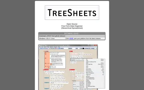
TreeSheets is a free and open source hierarchical spreadsheet for organizing complex data. Described as a replacement for spreadsheets, mind mappers, outliners, text editors and small databases, it is intended for uses such as todo lists, calendars, project management and brainstorming. It can run in the system tray with several documents loaded.
Text Editors & Formatting 0
treegenesdb.org

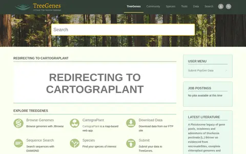
TreeGenes is a genomics database with a new version powered by Tripal. It provides browsing of genomes with JBrowse, sequence search with DIAMOND, species lookup, and data downloads from an FTP site. Users can submit data to the database, and a map-based web app called CartograPlant is linked. The site lists latest studies and literature, and the page redirects to CartograPlant.

Dataset & Data Search 0

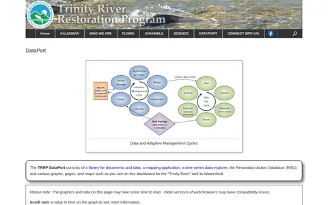
The TRRP DataPort is a library for documents and data, a mapping application, a time series data explorer, and the Restoration Action Database. It includes graphs, gages and maps for the Trinity River and its watershed.
Dataset & Data Search 0
planetary-data-portal.org

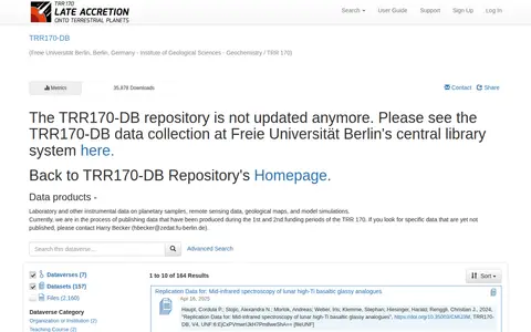
TRR170-DB is a repository whose page states it is no longer updated and directs readers to the TRR170-DB data collection at Freie Universität Berlin's central library system. It lists data products including laboratory and instrumental data on planetary samples, remote sensing data, geological maps and model simulations.

Dataset & Data Search 0
turtlesat.org.au

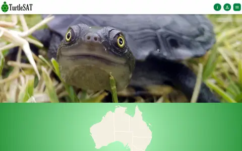
TurtleSAT is a citizen science platform focused on freshwater turtle monitoring. It allows users to record observations including turtle sightings, nests, pest activity, and control efforts, and provides tools to filter and map turtle activity data. The platform offers a mobile app for data entry, aims to reduce fox predation on turtles, and partners with community supporters and organizations such as the Australian Reptile Park.

Dataset & Data Search 0
tvguessr.garden

TVGuessr is a browser geography game that shows live TV streams from around the world. Players watch a random channel and guess the country of origin using language and scenery clues. A round consists of ten rounds, and the game is free to play without an account.

Browser & Online Games 0
twhl.info

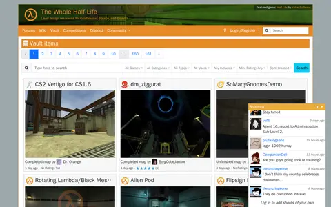
TWHL Vault is a page on TWHL, a site offering level design resources for GoldSource, Source, and beyond. The vault lists user-submitted items such as completed maps and mods, along with their dates and ratings.

Game Tools & Utilities 0

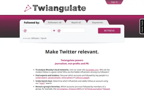
Twiangulate is a tool for search, analytics and mapping of connections between Twitter friends and followers. It is used to find which accounts are followed by key people and to see which accounts are most followed by members of a group. The site also points to a sister site, skyangles.com, for analyzing Bluesky's local networks.

X / Twitter 0

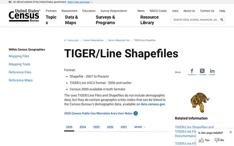
U.S. Census Bureau TIGER/Line Shapefiles and TIGER/Line® Files is an official U.S. government resource that provides access to mapping shapefiles produced by the U.S. Census Bureau Geography program, with files available for a range of years including 2025.

Dataset & Data Search 0
uhuru.photos

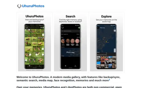
UhuruPhotos is a gallery app for Android built with Jetpack Compose, SQLDelight and Coroutines using an MVI architecture. It supports viewing, backup and sync of media, plus search by keywords, faces or location and a photo map; the site states advanced features require a LibrePhotos server. It is in public beta on Google Play.

Android Apps & Tools 0

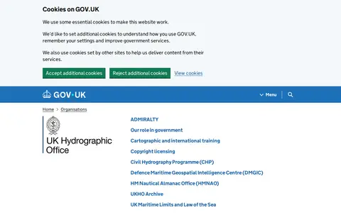
The UK Hydrographic Office is an executive agency sponsored by the Ministry of Defence, described as a centre for hydrography that delivers data and expertise in support of safe oceans. Its government page lists activities including the Civil Hydrography Programme and the UK Centre for Seabed Mapping.

Dataset & Data Search 0
nagix.github.io

Ukraine Live Cams is a 3D map visualization of live cameras in Ukraine, Drag and arrow keys move, mouse wheel or plus/minus keys zoom, and holding the right mouse button or Ctrl while dragging rotates and tilts the view.

IoT Security 0
umap-project.org

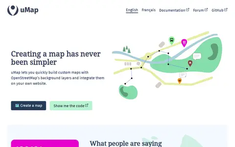
uMap is a free and open-source online map creator maintained by a community of contributors. It lets users build custom maps using OpenStreetMap background layers, draw lines and polygons, import information layers, and embed maps on websites. A graphical interface allows creating interactive maps without coding, and additional features include heatmaps, clustering and slideshows, without requiring an account.

Web Development 0
umwelt.info

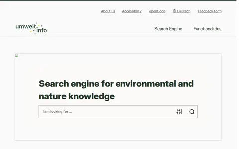
umwelt.info is a search engine for environmental and nature knowledge. It supports text queries and search filters, and lists topics such as flood risk areas, rainwater and mixed sewerage, and hazard maps. A sample search result is the Hamburg Wasserbuch, which records water use rights.

Dataset & Data Search 0
data.southampton.ac.uk

The University of Southampton Open Data Service gathers information from the University's sub-parts and offers it as smartphone apps, web tools and reusable datasets. It includes an interactive map built with OpenStreetMap, an events calendar, term dates, building lists, organisation structure and an index of datasets in programmer-friendly formats.

Dataset & Data Search 0
unmined.net

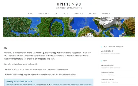
A world viewer and mapper tool for Minecraft and Hytale. It reads Minecraft Java Edition, Minecraft Bedrock Edition and Hytale world files and renders a browsable 2D overview map that can be exported as an image or a web page. It works on Windows, Linux and macOS. Development snapshots are published.

Game-Specific Tools 0
acleddata.com

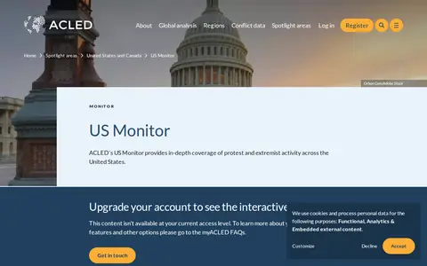
ACLED crisis monitor mapping protests, political violence, and social unrest across the United States.

Geolocation Tools 0
digitallibrary.usc.edu

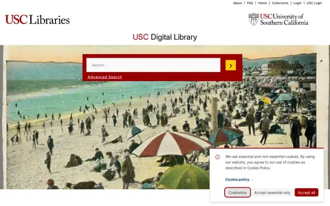
The USC Digital Library is the digital library of the University of Southern California. It provides access to rare and archival materials including photographs, maps, manuscripts, and recordings from USC and partner institutions, and hosts collections across a range of academic subject areas.

Academic & Research Search 0
github.com

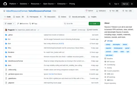
Source 2 Viewer is an all-in-one tool to browse VPK archives, view, extract, and decompile Source 2 assets, including maps, models, materials, textures, sounds, and more.

Game Development 0
data-vaxjo.opendata.arcgis.com

Växjö Municipality Open Geographical Data is an ArcGIS Hub platform for geographic data. Users can discover, analyze and download data in formats including CSV, KML, Zip, GeoJSON, GeoTIFF and PNG, access API links for GeoServices, WMS and WFS, and create StoryMaps and Web Maps.

Dataset & Data Search 0
vectorsurv.org

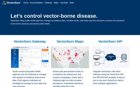
VectorSurv is a vector-borne disease surveillance system. Public health and vector control agencies use the Gateway to manage and analyze surveillance and control data, and each agency keeps privileges to manage its own data and user accounts. VectorSurv Maps shows past and present surveillance results for arboviruses and invasive mosquitoes. A RESTful API lets users integrate VectorSurv data with other software.

Dataset & Data Search 0
ventusky.com

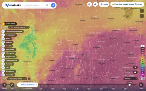
Ventusky provides live weather maps showing wind, rain, radar and temperature, with over 50 weather layers and detailed forecasts. Data comes from weather forecast models including ECMWF, GFS, ICON and GEM.

Maps & Navigation 0

VerExif is a website for viewing and removing EXIF metadata from pictures online without downloading software. It accepts a public image up to 20MB, shows GPS information on a map when present, and states that no copy of the image is stored.

Photography Tools 0