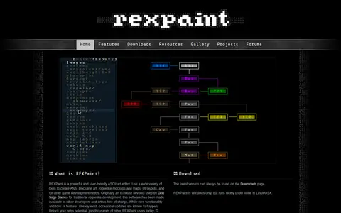
REXPaint is an ASCII art editor from Grid Sage Games for creating ANSI block and line art, roguelike mockups and maps, and UI layouts. It offers separate editing of characters, foreground, and background colors, shape and text tools, layers, palette manipulation, a true-color picker, custom fonts and tilesets, and export to PNG and other formats. It is Windows-only and was originally an in-house development tool.
Directory
Search results
Published directory entries matching your search.
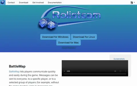
Rolisteam is a free and open source virtual table for TTRPG sessions. It includes features such as BattleMap messaging, mind maps, character sheets, a music system, a PDF viewer and dice. Downloads are offered for Windows, Linux and Mac, with Linux also available via Ubuntu PPA and Flathub.
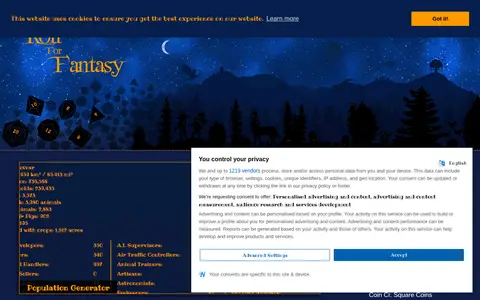
Roll for Fantasy is a site for tabletop role players and other creative folk. It provides a collection of browser tools, including character, map, dungeon and world creators, dice and loot generators, and encounter calculators. It also hosts guides on game mastering, world building and writing.
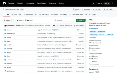
Romm is a GitHub repository or organization with source code, releases, documentation, or project resources.
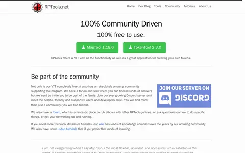
RPTools is a set of role-playing tools that includes MapTool, a virtual tabletop, and TokenTool for creating tokens. The project describes itself as free, open source and community driven, with a forum, wiki, video tutorials and a Discord server.
Runeforge is a hub for League of Legends mods, offering custom skins, maps and other mods to browse and install. It provides LTK Manager, described as a next-generation mod manager and the successor to the deprecated cslol-manager, used to install mods. The site reports mod download and creator counts and hosts a changelog.
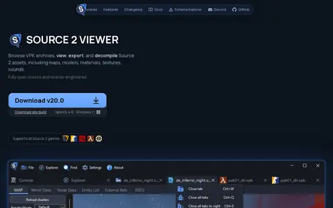
Source 2 Viewer (S2V) is a free, open-source tool for browsing VPK archives and viewing, extracting and decompiling Source 2 assets, including maps, models, materials, textures, sounds and particles. The project is reverse-engineered without an official Source 2 SDK and is not affiliated with Valve Software. It supports games such as Counter-Strike 2, Dota 2, Deadlock and Half-Life: Alyx.
Sandboxie-Plus is open source sandbox-based isolation software for 32-bit and 64-bit Windows NT-based operating systems. It creates an isolated operating environment in which applications can be run or installed without permanently modifying the local or mapped drive, allowing controlled testing of untrusted programs and web surfing. Development has continued under David Xanatos since the project became open source. Two builds exist: Classic with an MFC-based UI and Plus with a Qt-based UI.
Online world map service offering a satellite view of the Earth with labels, a ruler, place sharing, search and locating. It also lists route planning, state boundary tracking, city lists for each state and weather forecast.
Satisfactory Calculator is a collection of tools for the game Satisfactory from Coffee Stain Studios. It includes a production planner for calculating production needs and an interactive map that can act as a save editor and manage factories. It also hosts blueprints and supports mods.
Scanner map for finding public radio feeds, calls, and communication activity by location.
ScholarWorks @ UTRGV is the open-access institutional repository of the University of Texas Rio Grande Valley, operated by the university library. It collects and provides access to faculty research, graduate theses and dissertations, and Special Collections materials such as historical documents, oral histories, maps, and photographs. Content can be submitted by email or deposited through departmental faculty collections.
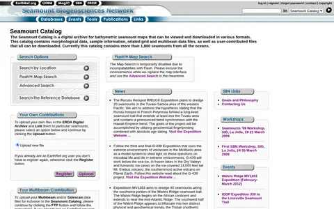
The Seamount Catalog is a digital archive of bathymetric seamount maps that can be viewed and downloaded in various formats. It holds morphological data, sample information, and related grid and multibeam data files, plus user-contributed files, all downloadable. The catalog currently covers more than 1,800 seamounts from all oceans.
Search map and directory for exploring search engines, categories, and discovery tools.
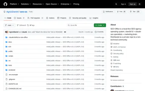
seo-os helps monitor local SEO visibility, map rankings, business listings, and local search performance.
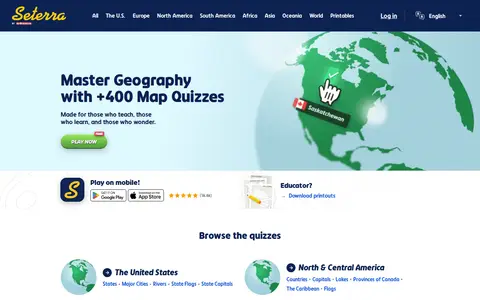
Seterra is a free map quiz site offering over 400 quizzes that cover countries, capitals, flags, cities, rivers, mountains and other geography topics. The site also offers quizzes on anatomy and science, and printable downloads for educators. It can be played on mobile devices.
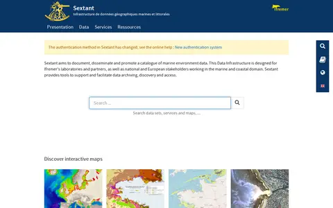
Sextant is a marine and coastal geographic data infrastructure run by Ifremer. It aims to document, disseminate and promote a catalogue of marine environment data, and provides tools to support data archiving, discovery and access. It is intended for Ifremer laboratories and partners as well as national and European stakeholders in the marine and coastal domain, and offers interactive maps of themes such as bathymetry and habitats.
ShadeMap is an online tool that simulates sun shadows for any date and time at any place on Earth. It simulates shadows cast by buildings, trees and terrain in 3D and can generate shadow accumulation and shadow accrual maps. The service runs online without installing or buying Google Earth Pro.
SIBiLS is a service of the Swiss Institute of Bioinformatics that provides personalized information retrieval in biological literature. It offers fully customizable searches in semantically enriched content using keywords or mapped biomedical entities from standardized and legacy vocabularies. Its collections include MEDLINE, PubMedCentral, Plazi treatments and PMC supplementary files, updated daily, and it is accessible via REST APIs.
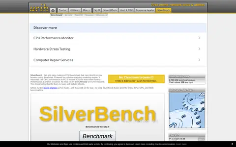
SilverBench is a JavaScript-based CPU benchmark and stress test that runs in a browser. It offers Performance, Extreme and Stress modes and measures CPU performance on PCs and mobile devices using a photon-mapping rendering engine, with all tests running on the CPU only.
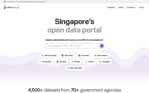
data.gov.sg is Singapore's open data platform, intended to make data discoverable, understandable and usable. It provides free access to interactive charts and maps for national datasets and offers APIs for development. The portal is described as holding 4,500+ datasets from 70+ government agencies, with options to explore and embed live charts and tables and to subscribe to datasets.
Slatebox creates visuals from a prompt, including infographics, mind maps, timelines, pitch decks and dynamic presentations. Slates are fully editable and can be presented with one click on an infinite canvas with multi-cursor collaboration. A PDF can be transformed into a presentation, and templates are available. Pricing during the beta includes a Forever Free plan and paid Solo-Pro and Team-Pro plans billed annually.
Slope Plus is a modded version of the game Slope with extra features and a smoother framerate, available to download or play in browser. It includes seeded runs and custom games with custom maps and a custom starting speed.
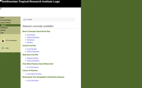
A Smithsonian Tropical Research Institute page listing datasets from its Panama Atlas. It names available datasets including the Barro Colorado Island 50 ha Plot, Cocoli 4 ha Plot, Sherman 6 ha Plot, Tree Atlas Panama Canal Watershed, Lianas of Panama and a Neotropical Tree Geographic Distribution Dataset. Entries include data tables of abundance, soil maps and species lists.