
hcdc.hereon.de
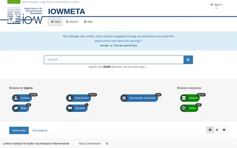
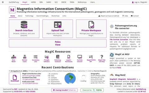
Search analytical chemistry data collections and supporting geospatial data from DEU.
Directory
Published directory entries matching your search.
Search analytical chemistry data collections and supporting geospatial data from DEU.

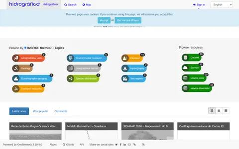
Search atmospheric, oceanography and climate data collections and supporting geospatial data from PRT.
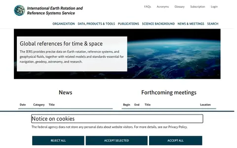
Find and access astrophysics and astronomy research data, with indexed geospatial data.
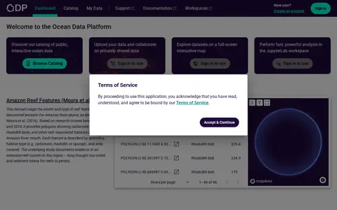
Research data portal for exploring atmospheric, oceanography and climate records, including geospatial data.

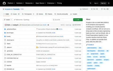
Kuwala is the no-code data platform for BI analysts and engineers enabling you to build powerful analytics workflows. We are set out to bring state-of-the-art data engineering tools you love, such as Airbyte, dbt, or Great Expectations together in one intuitive interface built with React Flow. In addition we provide third-party data into data science models and products with a focus on geospatial data. Currently, the following data connectors are available worldwide: a) High-resolution demograph

Search atmospheric, oceanography and climate data collections and supporting geospatial data from USA.

Find and access atmospheric, oceanography and climate research data, with indexed geospatial data.
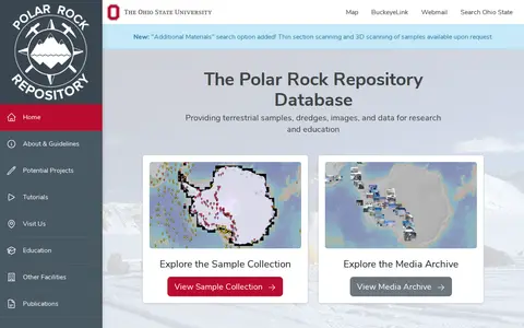
Find and access geology research data, with indexed geospatial data.

Find and access geosciences research data, with indexed geospatial data.

Find and access atmospheric, oceanography and climate research data, with indexed geospatial data.

Browse research datasets and geospatial data related to atmospheric, oceanography and climate.

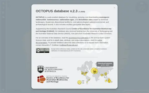
OCTOPUS is a web-enabled database for visualizing, querying, and downloading cosmogenic radionuclide, luminescence, radiocarbon ages, and denudation rates linked to erosional landscapes, Quaternary landforms, and paleoecological, paleoenvironmental, and archaeological records. It also includes ancillary geospatial data layers and supports exporting vector and attribute data.

Research data portal for exploring geography records, including geospatial data.

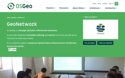
Public Geodata Repository refers to GeoNetwork, an open source data catalog designed for spatial data infrastructures. It offers metadata editing and search functionalities, and is listed as a community project under the Metadata Catalogs category by the Open Source Geospatial Foundation (OSGeo).

Research data portal for exploring atmospheric records, including geospatial data.

Research data portal for exploring geology records, including geospatial data.
Find and access atmospheric research data, with indexed geospatial data.
Dataset repository covering biology, with searchable geospatial data.

The Department of Space Information Technologies and Systems at the Space Research Institute of the National Academy of Sciences of Ukraine and the State Space Agency of Ukraine works on remote sensing data, geoinformation systems and machine and deep learning methods.
Find and access agriculture, forestry and veterinary medicine research data, with indexed geospatial data.
Westbank First Nation Open Data is a public portal hosted in partnership with the Regional District of Central Okanagan. It provides access to geospatial and infrastructure datasets covering Westbank First Nation lands, including information on roads, parcels, utilities, buildings and land use, to support community planning, transparency and informed decision-making.

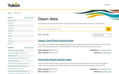
An open government portal that lets users find statistical, administrative, geospatial and other machine-readable data published by the Government of Yukon. Listings include publisher, format and update dates, with datasets such as registered Yukon societies, flood hazard maps and Yukon Liquor Corporation price lists.

Searchable repository for finding atmospheric, oceanography and climate datasets and geospatial data.

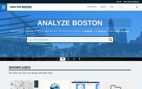
Analyze Boston is the City of Boston's open data hub. Users can explore published datasets, which are grouped into topic categories such as geospatial, transportation, finance and public safety, and view showcases showing how users apply the open data.