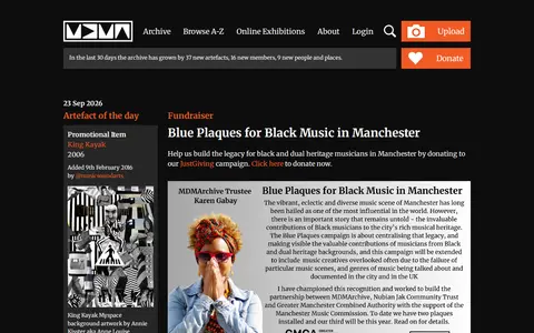

An online community archive established in 2003 to celebrate Greater Manchester music and its social history. It provides browse and A-Z archive sections, online exhibitions, and a login and upload area. Projects include digitised Piccadilly Radio tapes, audio maps, and a research lab.
Directory
Search results
Published directory entries matching your search.
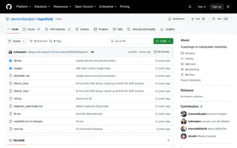
Manifold is a package for manipulating manifolds, built for Torch7. It is installed via luarocks and depends on the libatlas3-base package. The package offers basic functions such as computing neighbors and distances, and embeddings using random projections, LLE and tSNE. Demos are included, such as a t-SNE map produced on 5,000 MNIST digits.
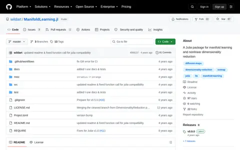
ManifoldLearning.jl is a Julia package for manifold learning and nonlinear dimensionality reduction. It provides methods including Isomap, diffusion maps, locally linear embedding, Hessian eigenmaps, Laplacian eigenmaps, local tangent space alignment and t-SNE. Most methods use k-nearest neighbors to construct local subspace representation, and a custom k-nearest neighbors function is suggested for large datasets.
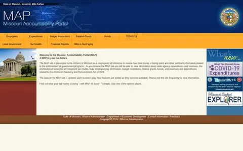
Browse government and civic datasets for Missouri.
MapCrunch displays random Google Street View locations around the world, allowing users to explore imagery from 50 countries. Users can filter views by country or region using a list or map, and selected views are added to a daily gallery. Views can be shared with a name shown under the gallery image.
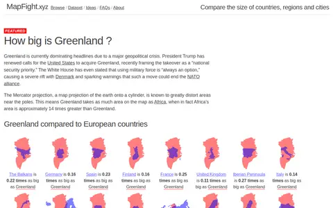
MapFight is a site for comparing the size of countries, regions and cities. It presents area comparisons, such as how many times larger one place is than another, and discusses map projection distortion.
Mapillary shows crowdsourced street-level imagery for roads, places, routes, and mapping projects.
Creates, rewrites or summarizes written content with language models.
Database and map tracking police killings, demographics, agencies, and incident details.
MapQuest provides maps, route planning, driving directions, traffic, and local place search.
Descartes Labs map viewer helps explore satellite imagery, geospatial layers, and earth observation data.
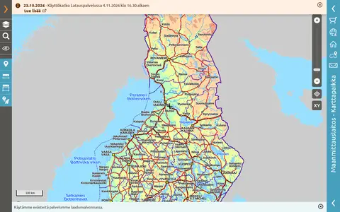
Public map service provided by the National Land Survey of Finland.
Live ship tracking map showing vessel positions, AIS data, ports, routes, and maritime traffic.
Interactive map for understanding maritime security, trade routes, and regional ocean activity.
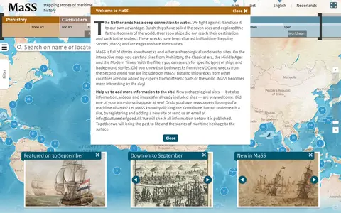
Maritime Stepping Stones (MaSS) is a worldwide source for stories about wrecks and archaeological sites underwater. An interactive map with filters covers periods from Prehistory to Modern Times, including VOC and Second World War wrecks. Visitors can contribute sites, information, videos and images, which are checked before publication.
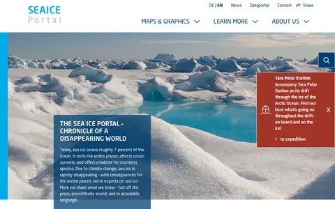
Meereis Portal is an online public portal focused on sea ice data and related resources. It provides daily updated sea ice concentration and extent data, annual cycle visualizations, interactive maps, animations, infographics, and educational content covering sea ice physics, desalination processes, and sea ice's role in the cryosphere and energy budgets.
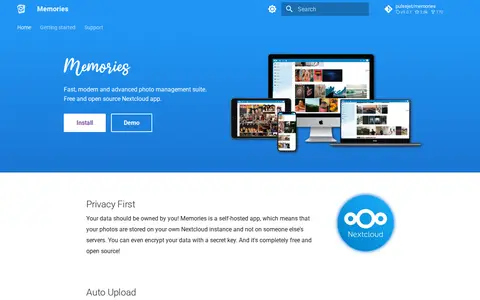
Memories is a free and open source photo management app for Nextcloud. It provides a photo timeline, albums, automatic tagging through the Recognize and Face Recognition apps, EXIF metadata editing, video transcoding, and a map of photos. Photos are stored on the user's own Nextcloud instance, and metadata is kept in EXIF headers to avoid lock-in.
Met Office is the UK's national weather and climate service. Its research activities span weather science, climate research, applied science and foundation science. The organisation provides public access to weather forecasts, UK weather warnings, maps and charts for the UK and other global regions, climate change explanatory content, specialist forecasts for coastal, mountain and space weather, and educational resources for schools, alongside dedicated weather and climate research programmes.
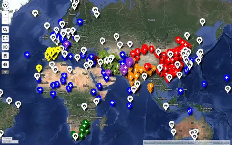
uMap project mapping military bases around the world using OpenStreetMap data.
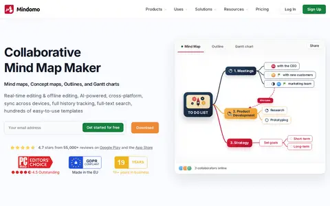
Mindomo is an online mind map maker with AI that turns ideas into mind maps, concept maps, outlines or Gantt charts, available on web, desktop and mobile. It supports collaboration, task management, presentations and integrations.
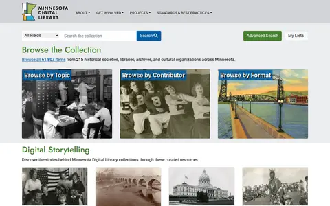
Minnesota Digital Library is a search and discovery site that lets users browse a collection of items from historical societies, libraries, archives, and cultural organizations across Minnesota. It offers browsing by topic, contributor, and format, along with digital storytelling resources including exhibits, maps, timelines, and primary source sets.
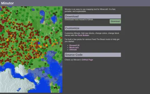
Minutor is an easy to use mapping tool for Minecraft. It is described as fast, portable and expandable, and allows new blocks, colors and block names to be changed with the Pack Builder. Downloads have moved to GitHub, and the source code is available on Minutor's GitHub page.
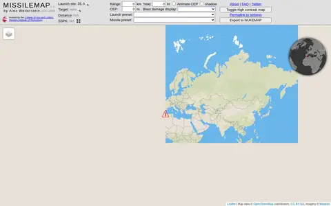
MISSILEMAP is a digital mapping visualization by Alex Wellerstein that graphically displays the range and accuracy of many types of missiles. It includes a location lookup and a Single Shot Probability of Kill calculator, and is intended to help show the relationship between missile range, accuracy and warhead size.
A web-based app development tool for education. App Inventor is described as the largest app development tool for global education and is free, running in a browser on Mac, Windows or Chromebook with nothing to install. Tutorials range from beginner to advanced, covering topics such as generative AI, maps, the camera, machine learning and cloud data.