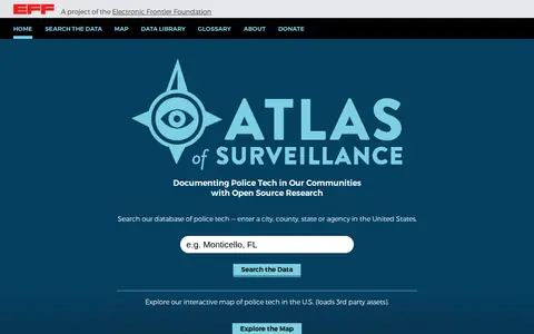
The Atlas of Surveillance is a project of the Electronic Frontier Foundation that maintains a database of surveillance technologies deployed by law enforcement in communities across the United States, including drones, body-worn cameras, automated license plate readers and facial recognition. It offers a searchable database and an interactive map of police tech in the U.S.
Directory
Search results
Published directory entries matching your search.
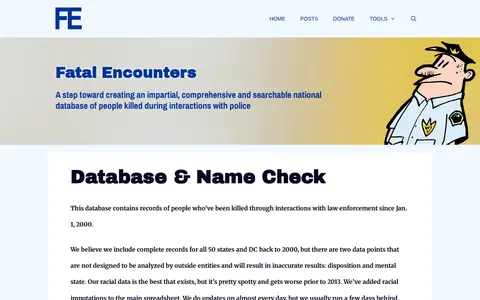
Database of people killed during interactions with police, searchable by name, location, and date.
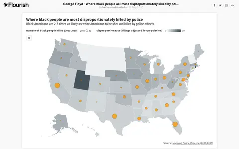
An interactive Flourish data visualisation by Mohammed Haddad, published 31 May 2020, showing where black people are most disproportionately killed by police. It uses a projection map template from the Flourish team and is hosted on the Flourish platform for interactive data visualisation and storytelling.
Spreadsheet of protest-related police violence videos and incident documentation.
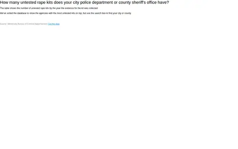
A searchable table showing the number of untested rape kits by the year the evidence was collected, based on Minnesota Bureau of Criminal Apprehension data. Agencies with the most untested kits appear at the top, and a search box allows users to find a city or county.
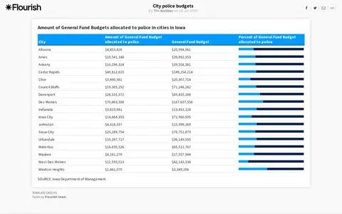
A Flourish data visualisation table of city police budgets by Tim Webber, created on 14 July 2020. The page displays the visualisation alongside Flourish template credits and standard platform links.
Database and map tracking police killings, demographics, agencies, and incident details.
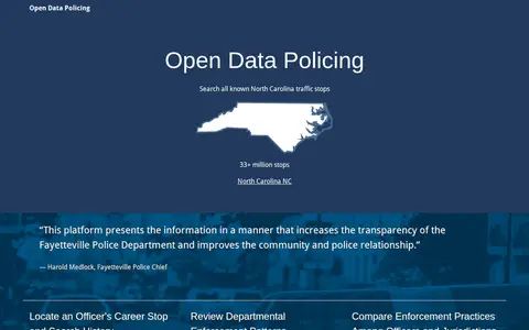
Open data portal for police stops, searches, use of force, and enforcement patterns.
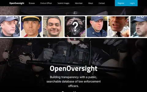
OpenOversight is a Lucy Parsons Labs project offering a public, searchable database of law enforcement officers. It maintains profiles and digital galleries consolidating information such as names, birthdates, news mentions, salaries and photographs, with officer information in 24 departments across 5 states and the federal government. Volunteers upload and sort officer photos.
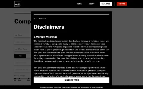
Database of public social media posts by law-enforcement officers reviewed for accountability research.
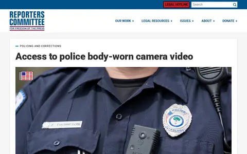
A map published by the Reporters Committee showing the status of state legislation and police department policies on public access to police body-worn camera footage in the United States. State colors indicate whether legislation was proposed, passed, or decided by court case, and clicking a state links to related bills or cases.
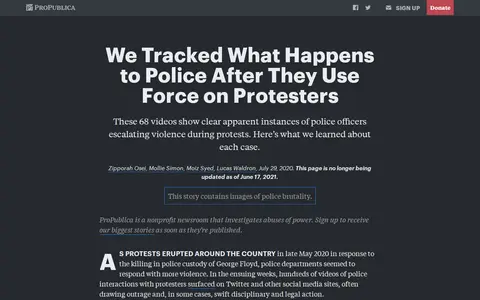
ProPublica collection of protest policing videos organized for search and accountability review.
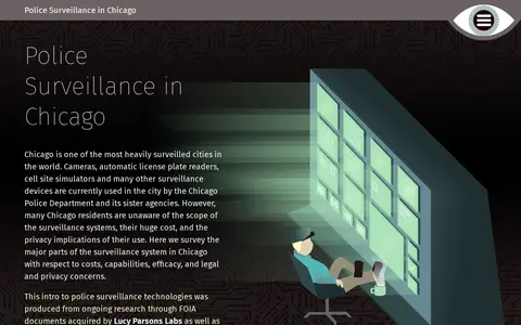
Map and dataset of police surveillance technologies and locations in Chicago.
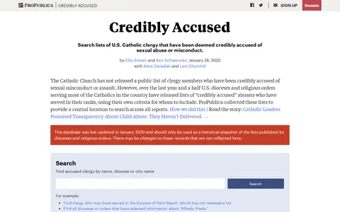
Credibly Accused is a ProPublica database collecting U.S. Catholic dioceses' and religious orders' lists of clergy deemed credibly accused of sexual abuse or misconduct, providing a central location to search across reports. The database was last updated in January 2020 and is described as a historical snapshot.