
Find and access geography research data, with indexed geospatial data.
Directory
Search results
Published directory entries matching your search.
Filters
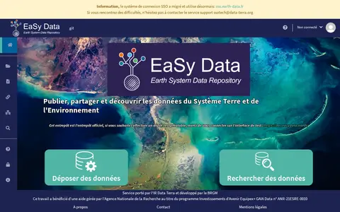

easydata.earth
Research data portal for exploring geosciences records, including geospatial data.

data.kigam.re.kr
Research data portal for exploring geology records, including geospatial data.
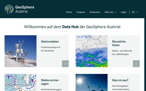

data.hub.geosphere.at
Research data portal for exploring atmospheric records, including geospatial data.
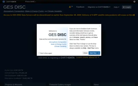

disc.gsfc.nasa.gov
Research data portal for exploring atmospheric records, including geospatial data.
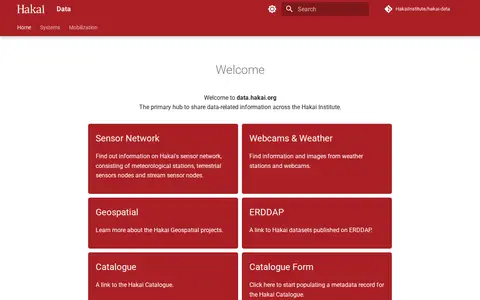

data.hakai.org
Hakai Data is the Hakai Institute's hub for sharing data-related information. It links to the institute's sensor network of meteorological stations, terrestrial sensor nodes and stream sensor nodes, plus webcams and weather stations, geospatial projects, oceanography projects and datasets published on ERDDAP. It also links to the Hakai Catalogue and a form for populating metadata records.
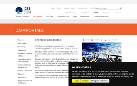

ices.dk
Search atmospheric, oceanography and climate data collections and supporting geospatial data from DNK.
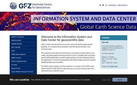

Dataset repository covering geophysics and geodesy, with searchable geospatial data.

nconemap.gov
NC OneMap is a strategic geographic data resource serving the state of North Carolina, offering a collection of authoritative geospatial data and web services. It is a collaborative effort involving local, state, and federal government agencies, private sector organizations, and academic institutions. Users can search or browse available data, use it in their own applications, analyze it with external tools, or build applications using the platform’s APIs.
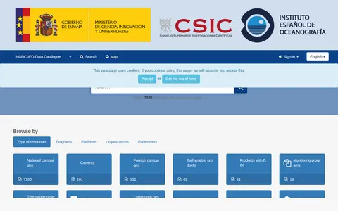

nodc.ieo.es
Research data portal for exploring atmospheric, oceanography and climate records, including geospatial data.
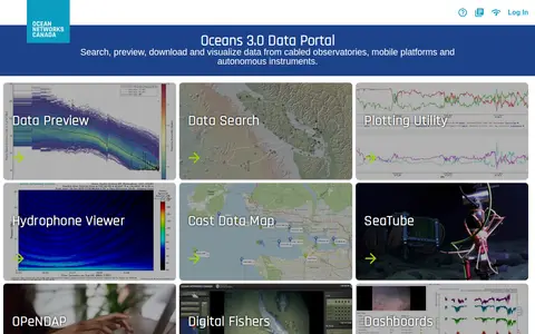

data.oceannetworks.ca
Research data portal for exploring acoustics records, including geospatial data.

gishub-kilgore.hub.arcgis.com
Open Data for Kilgore, also known as Kilgore GIS Hub, provides geospatial data for download in formats like CSV, KML, Zip, GeoJSON, GeoTIFF, and PNG. It offers API links for GeoServices, WMS, and WFS, and supports analysis with charts and thematic maps, as well as creation of StoryMaps and Web Maps.

ni-lgln-opengeodata.hub.arcgis.com
OpenGeoData.NI, also referred to as OpenGeoData Niedersachsen, is a platform for discovering, analyzing and downloading geospatial data. It offers data downloads in formats including CSV, KML, Zip, GeoJSON, GeoTIFF and PNG, provides API links for GeoServices, WMS and WFS, and supports data analysis and the creation of StoryMaps and web maps.
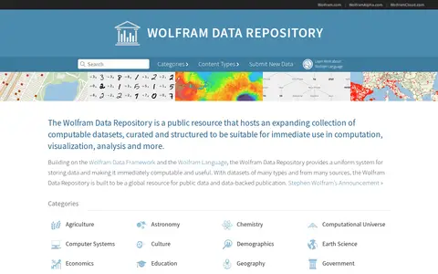

datarepository.wolframcloud.com
A public repository of computable, curated datasets spanning topics such as demographics, science, politics and social media. Data is stored using the Wolfram Data Framework and Wolfram Language, making it immediately usable for computation, visualization and analysis. Datasets appear in formats including numerical, time series, image, audio, geospatial and graphs.
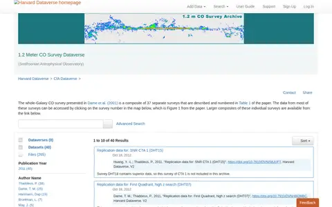
dataverse.harvard.edu
Find and access astrophysics and astronomy research data, with indexed geospatial data.

catalogue.cioos.ca
Browse research datasets and geospatial data related to atmospheric, oceanography and climate.
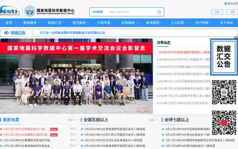

data.earthquake.cn
Browse research datasets and geospatial data related to atmospheric, oceanography and climate.
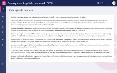

data.geoscience.fr
Research data portal for exploring geosciences records, including geospatial data.
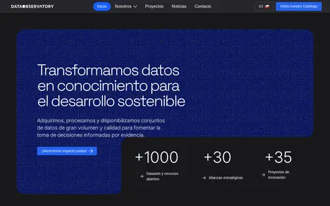

dataobservatory.net
Dataset repository covering agriculture, forestry and veterinary medicine, with searchable geospatial data.
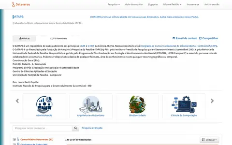

dataverse.ideal.ufpb.br
Search engineering data collections and supporting geospatial data from BRA.
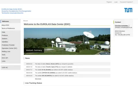
edc.dgfi.tum.de
Dataset repository covering astrophysics and astronomy, with searchable geospatial data.

federation.figshare.com
Research data portal for exploring agriculture, forestry and veterinary medicine records, including geospatial data.

services.d4science.org
Research data portal for exploring atmospheric, oceanography and climate records, including geospatial data.
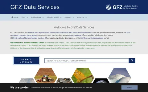

dataservices.gfz-potsdam.de
Searchable repository for finding geosciences datasets and geospatial data.