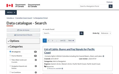
The Canadian Coast Guard Data Catalogue is part of the CCG e-Navigation portal. It provides access to navigation-related datasets and resources, with 41 listed results including the List of Lights, Buoys and Fog Signals for Pacific Coast, which covers aids to navigation in British Columbia’s coastal waters, rivers, and lakes.
Directory
Search results
Published directory entries matching your search.
CruiseMapper offers free cruise tracking, showing current ship positions, along with itinerary schedules, deck plans, cabin information, and reports on cruise accidents and incidents. It also publishes cruise news and covers a wide range of cruise lines and river cruises.
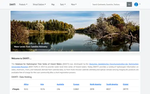
The Database for Hydrological Time Series of Inland Waters (DAHITI) was developed in 2013 by DGFI-TUM. It provides hydrological information on lakes, reservoirs, rivers and wetlands derived from satellite altimetry and optical remote sensing imagery. Products are available free of charge after a short registration process.

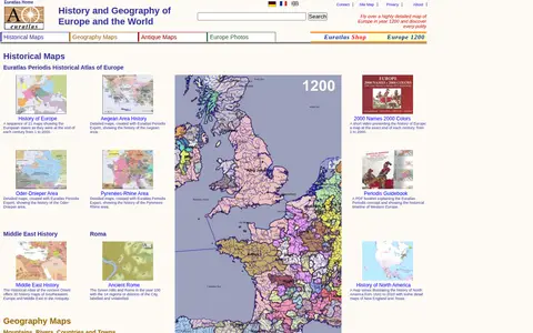
Euratlas offers a historical atlas of Europe and geography maps, including maps of mountains, rivers, cities and countries, about 2000 pictures of towns and landscapes, antique digitized maps, digital vector maps and educational software. It presents a sequence of 21 maps showing European states at the end of each century from 1 to 2000.
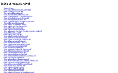
ExploreMarMaris hosts a directory of survival-related PDF guides on its website. The listed documents cover a range of outdoor and everyday emergency scenarios, including lightning strike avoidance, dehydration prevention, snow shelter construction, catching fish without a rod, and crossing piranha-infested rivers.
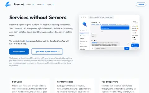
Freenet is a peer-to-peer platform for apps that no company controls. Apps run in the browser and need no servers behind them, and the project lists River, a group chat app, as a starting point. It offers a browser version and installation of a peer on Windows, macOS or Linux. Freenet is built by a small team funded through grants and donations.
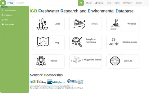
FRED (Freshwater Research and Environmental Database) is a data repository focused on freshwater research. It provides access to datasets related to lakes, rivers, wetlands, long-term monitoring, and species groups. Users can search by categories, view maps of study sites, sampling locations, parameters, and access project information and DOIs.
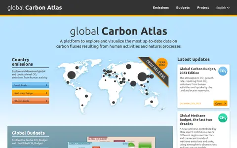
The Global Carbon Atlas is a platform for exploring and visualizing data on carbon fluxes from human activities and natural processes. It offers country-level CO₂ emissions data for fossil fuels and land use change, plus global budgets for carbon, methane and nitrous oxide, and material on city emissions and river carbon transport.
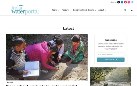
India Water Portal is a website covering water conservation, management, and sustainability in India. It publishes articles and FAQs on topics including water quality and pollution, disasters, governance and policy, agriculture, climate, rivers and lakes, ecology, and people and culture. The site also offers a Hindi portal and a data section.
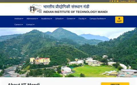
The Indian Institute of Technology Mandi is one of the eighth newer second generation of IITs and is a research university located in Kamand Valley in Mandi district, Himachal Pradesh. Its campus is on the left bank of the Uhl River at Kamand and Salgi villages. The institute became an IIT under The Institutes of Technology (Amendment) Act, 2011.
Browse regional movies and television through Rive's title and episode pages.
Rive catalogues regional films and television dramas for online browsing and playback.
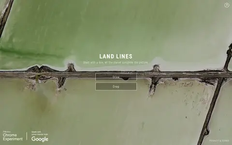
Land Lines is a Chrome experiment that lets users explore real Google Earth satellite imagery through gesture. Drawing finds satellite images matching a line, while dragging creates an infinite line of connected rivers, highways and coastlines. It runs in a phone or desktop browser without backend servers using machine learning and WebGL.
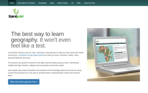
Lizard Point Quizzes is a site offering interactive map quizzes for learning or studying geography. It states that over 200 map quizzes cover world countries, states, cities, rivers, flags and more. A free account can save scores and track progress, and quizzes can be customized. Teachers can access their students' scores.
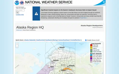
The Alaska Region Headquarters of the National Weather Service provides regional weather forecasts and warnings. The page links to forecast offices in Anchorage, Fairbanks and Juneau, plus information on sea ice, marine weather, fire weather, aviation forecasts, river forecasts and tsunami information from the National Tsunami Warning Center. It also lists current hazards, observations, radar and climate data.
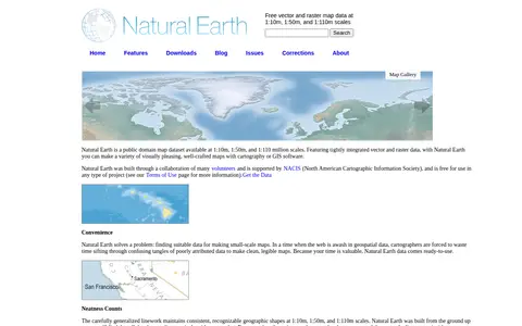
Natural Earth provides free vector and raster map data at 1:10m, 1:50m, and 1:110m scales, developed as a resource for making custom maps. Vector data comes in ESRI shapefile format and raster data in TIFF format, both using the WGS84 datum. Attributes include ranked feature names and map design details such as river width and country colors.
Find and access agriculture, forestry and veterinary medicine research data, with indexed datasets.
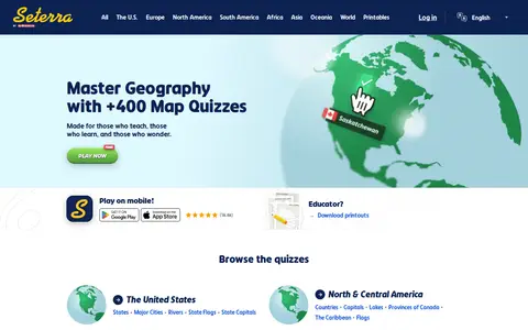
Seterra is a free map quiz site offering over 400 quizzes that cover countries, capitals, flags, cities, rivers, mountains and other geography topics. The site also offers quizzes on anatomy and science, and printable downloads for educators. It can be played on mobile devices.
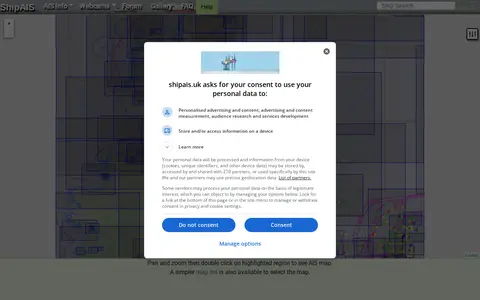
A site showing live shipping movements from AIS, along with a webcam looking over the River Mersey and Liverpool Bay. It includes pan-and-zoom map controls for mobile and desktop, a simpler map list, and options such as prediction time, oversize vessels, and vessel labels that apply after a page refresh.
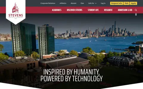
Stevens Institute of Technology is a private research university based in Hoboken, New Jersey, with a campus situated across the river from New York City. It provides undergraduate, graduate and corporate professional education programs with a focus on STEM and technology fields, and its curriculum incorporates hands-on research and co-op experiences for students prior to graduation. The university also hosts campus tours, information sessions and various events for prospective students.
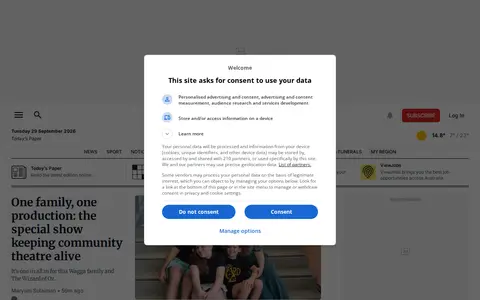
The Daily Advertiser is a Wagga Wagga, NSW masthead covering news from the Riverina, including sport, weather, entertainment and lifestyle. Founded in 1868 as the bi-weekly Wagga Wagga Advertiser, it is described as a multi-platform masthead. The site also offers Today's Paper, puzzles, newsletters and job listings.
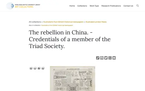
A catalog entry in the Hong Kong Baptist University Library Art Collections for an engraving published in the Illustrated London News on 10 December 1853. The print shows three scenes of the rebellion in China, including the credentials of a member of the Triad Society, Amoy Harbour and boats of The Hermes on the Yang-tse-kiang River. A downloadable file and library record are provided.
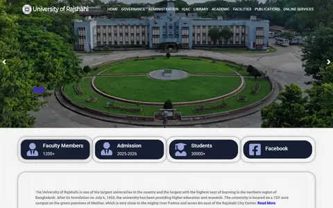
The University of Rajshahi is a university in Bangladesh, described on its official website as providing higher education and research since its foundation on July 6, 1953. It is located on a 753-acre campus in Motihar, near the river Padma.
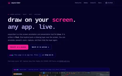
wayscriber is a free and open source, ZoomIt-style real-time screen annotation and presentation tool for Linux/Wayland, written in Rust. A single keybind activates a drawing layer over any application to support annotation, presentation, zoom, capture, and related functions. It is licensed under the MIT license and compatible with Hyprland, Sway, River, Wayfire, Niri, COSMIC, KDE Plasma, and GNOME with limits.