
apod.nasa.gov
Astronomy Picture of the Day features a different space image or video each day, with an explanation by an astronomer and an archive of past entries.
Directory
Published directory entries matching your search.
Astronomy Picture of the Day features a different space image or video each day, with an explanation by an astronomer and an archive of past entries.

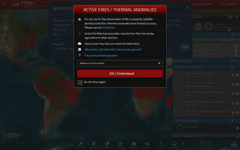
NASA FIRMS map shows satellite-detected fires, hotspots, and fire activity around the world.

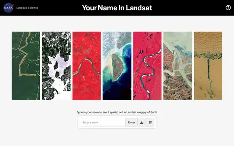
Your Name in Landsat is an interactive NASA and USGS tool that spells a typed name using Landsat satellite imagery of Earth, letter by letter, and allows sharing the resulting image. The satellite images come from Landsat's record spanning more than 50 years.

A data repository providing access to gravity wave observations from the Atmospheric Infrared Sounder (AIRS) aboard NASA's Aqua satellite. It offers brightness temperature data products and a 3-D stratospheric temperature retrieval dataset derived from infrared radiance measurements.

The Project Apollo Archive is described as one of the web's earliest repositories of high-quality images associated with NASA's historic manned lunar landing program. The page states that it requires browser support for frames and JavaScript.

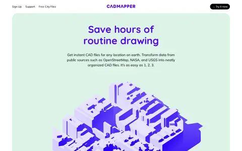
Cadmapper creates 3D CAD files of any area in the world from public data sources such as OpenStreetMap, NASA and USGS, producing organized, layered drawing files. Areas up to 1 km2 are free, files up to 100 km2 cost a small fee, and whole-city road network DXF files are free. It targets designers, architects and illustrators, with support for AutoCAD and SketchUp.

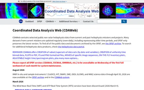
CDAWeb is a service of NASA's Space Physics Data Facility that holds selected public non-solar heliophysics data from current and past missions and projects. It supports creating data subsets by date and variables, uniformly time binned data, plots in PDF, PS and PNG formats, and movies of image sequences. All SPDF services are unavailable during monthly system maintenance.

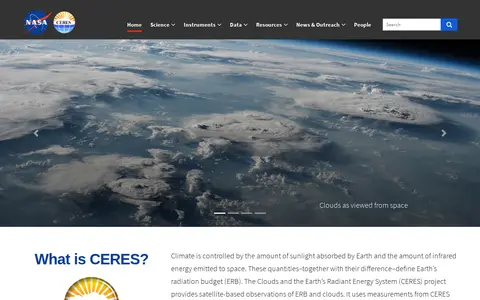
The Clouds and the Earth's Radiant Energy System (CERES) is a NASA project that provides satellite-based observations of Earth's radiation budget and cloud properties. It uses measurements from CERES instruments aboard multiple satellites along with data from other instruments to collect these observations. The project offers data ordering, subsetting and visualization tools, an online radiative transfer tool, and associated documentation and educational resources.

The Community Coordinated Modeling Center is a multi-agency partnership at NASA Goddard Space Flight Center that supports research and development for space science and space weather models. It provides free access to research models through an automated model run system, along with online visualization and analysis tools, model validation, forecasting support, and education resources.

The Crustal Dynamics Data Information System (CDDIS) is a NASA data system that has migrated to the Earthdata platform, with its former page redirecting users to the new CDDIS location on the Earthdata website.

The Digital Lunar Orbiter Photographic Atlas of the Moon reproduces the 675 plates of the Lunar Orbiter Photographic Atlas by Bowker and Hughes (NASA SP-206). The digital archive adds multiple search capabilities for locating images and features, updated surface feature information, and companion images with feature annotation. The annotated overlay symbols are intended only as locators, not for precise measurements.
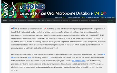
The Human Oral Microbiome Database (eHOMD) provides curated information on bacteria in the human mouth and aerodigestive tract. It hosts a taxonomy with a provisional naming scheme for currently unnamed taxa, alongside genomic, 16S rRNA and phage data. Of 836 taxa, 547 are primarily oral and 45 primarily nasal. The site offers BLAST, genome viewers, trees and downloads.

ESA Webb Telescope is the official European Space Agency X feed for the James Webb Space Telescope, an international partnership between NASA, ESA and CSA. It uses the hashtags #WebbSeesFarther and #BFFinSpace with @Hubble_Space.
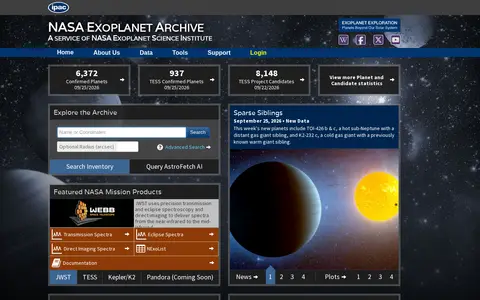
A service of the NASA Exoplanet Science Institute that hosts data on confirmed planets and candidates, including TESS, Kepler/K2 and JWST products. It provides search and query tools, mission data holdings, and AstroFetch, an AI assistant that answers natural-language questions using archive data.

Florida Institute of Technology is a tier 1 ranked university founded to educate pioneers of the U.S. space program. It offers hands-on degree programs in science, engineering, aeronautics, business, humanities, psychology, and communication. The university is located in Melbourne, Florida, on the state's Space Coast, with partnerships providing student opportunities at organizations including NASA-Kennedy Space Center and SpaceX.
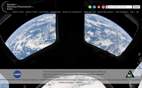
The Gateway to Astronaut Photography of Earth is a service provided by the International Space Station program and NASA's JSC Earth Science & Remote Sensing Unit. It offers access to searchable astronaut photography of Earth, including photo collections, ArcGIS Online resources, and latest International Space Station imagery, alongside tools and FAQ content.
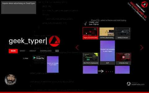
A hacking simulator that imitates the typing seen in movies and games. Users press F11, select a theme and start typing. Themes include Tegnio, SHIELD Version, Mr. Robot, Visual Studio, Fallout Version, Minecraft, Matrix, NASA and Plain Terminal.

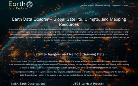
GEON is a guide to Earth observation data and mapping tools. It points to resources including satellite imagery, terrain data, atmospheric datasets, and tools such as NASA Worldview, Google Earth, and the Shuttle Radar Topography Mission (SRTM) dataset. It hosts an Earth Data Explorer that serves as a central hub for global Earth science data resources used in science, education, and environmental planning.

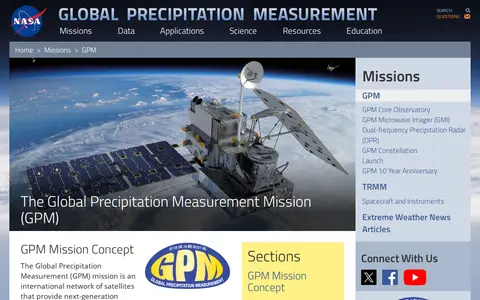
The Global Precipitation Measurement (GPM) mission is an international network of satellites providing global observations of rain and snow. It centers on a Core Observatory satellite with an advanced radar/radiometer system that measures precipitation from space and serves as a reference standard to unify measurements from a constellation of research and operational satellites. The mission was initiated by NASA and JAXA as a successor to TRMM.

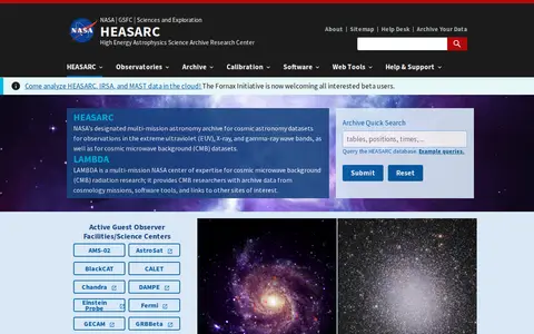
HEASARC is NASA's multi-mission archive for high-energy astronomy, holding data in extreme ultraviolet, X-ray and gamma-ray wavelengths plus cosmic microwave background datasets. It provides archival data, multi-mission software and analysis tools, and information on current and past observatory missions, available freely. Data discovery uses an interactive web portal, with API access through Xamin, astroquery and Virtual Observatory protocols.

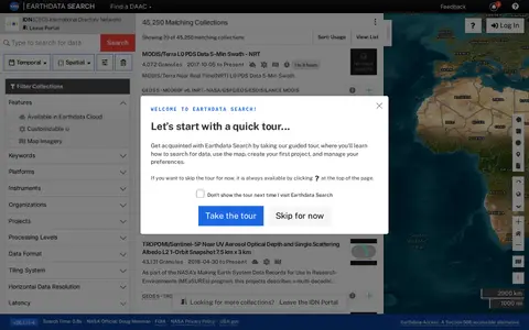
Earthdata Search is a browser-based tool for searching, discovering, visualizing, refining and accessing NASA Earth Observation data, offered through the IDN portal. The page requires JavaScript and a current browser; it notes an accessible alternative called Earthdata Access for users who need it.

A SpaceX simulator that familiarizes users with the controls of the interface NASA astronauts use to manually pilot the Dragon 2 vehicle to the International Space Station. Users practice rotation and position controls, and docking succeeds when all green numbers are below 0.2 and the rate is below -0.2 m/s.
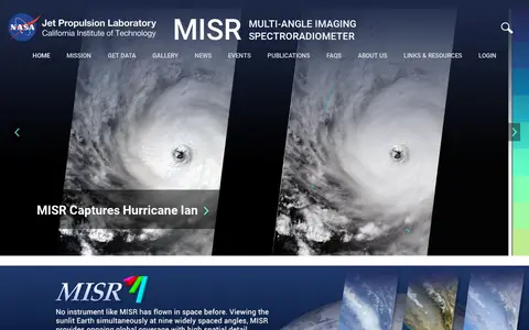
The Multi-angle Imaging SpectroRadiometer (MISR) is a NASA instrument onboard the Terra satellite, presented by the Jet Propulsion Laboratory. The site offers news, events, image quizzes and visualizations including 3D globe animations, world maps and stereo anaglyphs. It also references a tool for the MISR Plume Height Project.

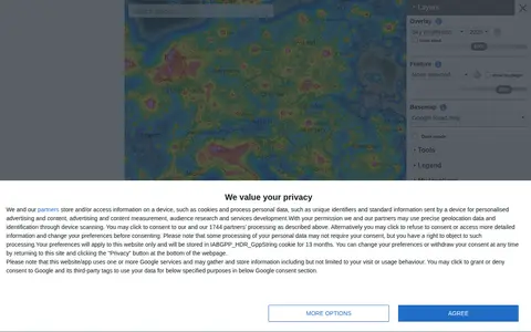
An interactive world map of light pollution that overlays data including NASA Black Marble VIIRS, sky brightness, aurora prediction, observatories and clouds, with SQM/SQC measurements contributed by users. It offers tools such as distance measurement, sky brightness simulation and a search for the closest dark site.