


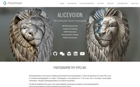

AliceVision is an open-source 3D Computer Vision framework for 3D reconstruction, camera tracking and HDR panoramas. Meshroom is its node-based desktop app, available for Windows and Linux under the MPL-2.0 license. It offers templates for photogrammetry, camera tracking, HDR and panorama, photometric stereo, and calibration and utilities.
Sendcutsend
Sendcutsend helps edit, convert, generate, search, or organize images and visual assets.
Screenshot unavailable. The listing stays available while a preview is prepared.
Links
Tags
-
0AliceVision is an open-source 3D Computer Vision framework for 3D reconstruction, camera tracking and HDR panoramas. Meshroom is its node-based desktop app, available for Windows and Linux under the MPL-2.0 license. It offers templates for photogrammetry, camera tracking, HDR and panorama, photometric stereo, and calibration and utilities.
-
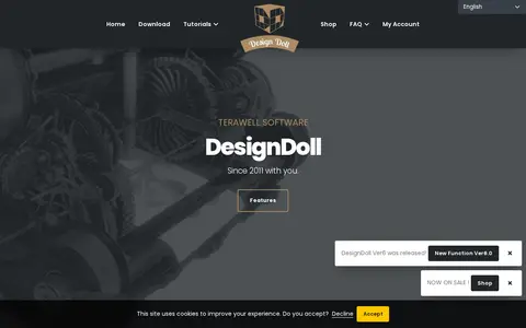
0DesignDoll is a software program for manipulating human body models in 3D space to create and pose a personalized sketch doll. It allows creation of human model pose collections and export of 3D models to the Doll-Atelier pose-sharing website. It is available for Windows versions 7 through 11.
-
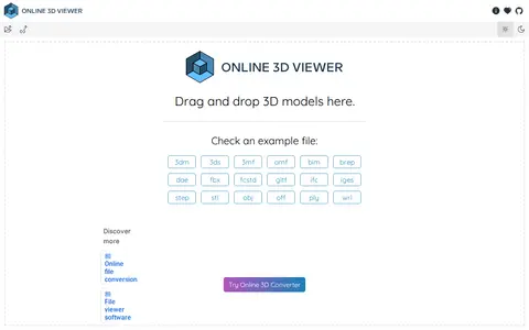
03DViewer is a free and open source web solution for visualizing and exploring 3D models in a browser. It supports file formats including 3dm, 3ds, 3mf, amf, bim, brep, dae, fbx, fcstd, gltf, ifc, iges, step, stl, obj, off, ply and wrl.
-
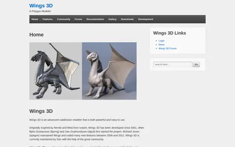
0Wings 3D helps edit, convert, generate, search, or organize images and visual assets.
-
0
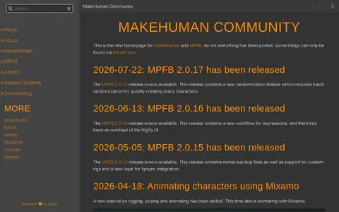
MakeHuman Community centers on the MakeHuman core assets, such as the Basemesh, and the tools that operate on them. MakeHuman is a stand-alone GUI program for modeling 3d humans, while MPFB is a Blender add-on for modeling 3d humans. The site notes that community services were shut down as a precaution, while the static site remains online.
-
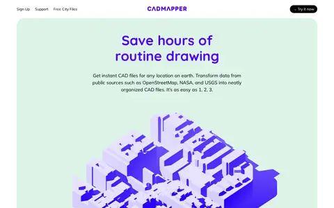
0Cadmapper creates 3D CAD files of any area in the world from public data sources such as OpenStreetMap, NASA and USGS, producing organized, layered drawing files. Areas up to 1 km2 are free, files up to 100 km2 cost a small fee, and whole-city road network DXF files are free. It targets designers, architects and illustrators, with support for AutoCAD and SketchUp.
Community notes
Reviews and discussion
No reviews yet
Be the first to share how this project worked for you.
Join the discussion
Sign in with a verified account to leave a review or join the discussion.
Sign in to review