

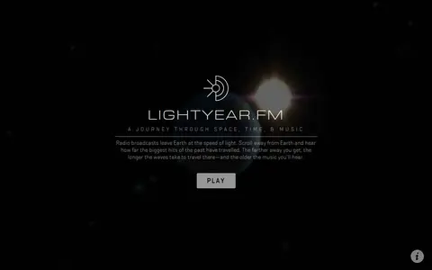

Lightyear.fm is a browser-based visualization that depicts radio broadcasts leaving Earth at the speed of light and traveling outward into space. Scrolling away from Earth shows how far past hits have traveled, with more distant points carrying older music. It includes planet and star data and notes that many stars were removed for display purposes and radii are not accurate.
Lunaserv Global Explorer
Lunaserv Global Explorer is an educational resource for documentaries, courses, books, reference material, or self-learning.
Links
Tags
-
0Lightyear.fm is a browser-based visualization that depicts radio broadcasts leaving Earth at the speed of light and traveling outward into space. Scrolling away from Earth shows how far past hits have traveled, with more distant points carrying older music. It includes planet and star data and notes that many stars were removed for display purposes and radii are not accurate.
-
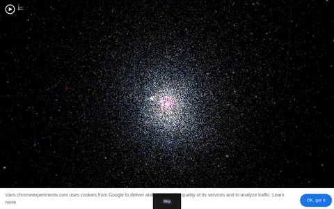
0100,000 Stars is an educational resource for documentaries, courses, books, reference material, or self-learning.
-
0
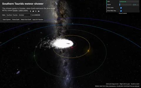
An interactive 3D visualization of NASA meteor shower data that shows meteoroid streams orbiting the Sun and Earth passing through them. The page also includes notes on seeing showers, an iframe embed option and mention of the SpaceKit.js engine.
-
0ShadeMap is an online tool that simulates sun shadows for any date and time at any place on Earth. It simulates shadows cast by buildings, trees and terrain in 3D and can generate shadow accumulation and shadow accrual maps. The service runs online without installing or buying Google Earth Pro.
-
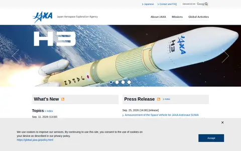
0The Japan Aerospace Exploration Agency (JAXA) is an organization that performs various activities related to aerospace, from basic research in the aerospace field to development and utilization. Its site covers missions including XRISM, SLIM, LUPEX, GOSAT-2, BepiColombo, and the H3 and Epsilon launch vehicles, along with press releases and international activities.
-
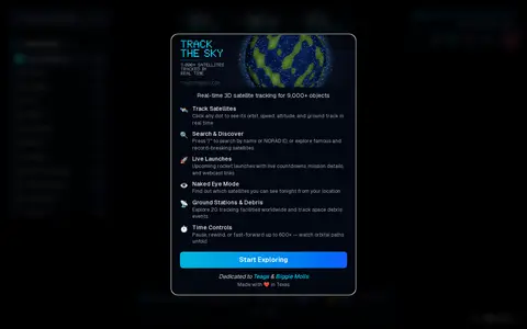
0Track The Sky is a real-time 3D satellite tracker that follows over 9,000 satellites on an interactive 3D globe using live orbital data. It covers categories including space stations, Starlink, GPS and weather satellites. Features include clickable orbit paths, ground tracks, altitude and velocity, and overhead pass predictions.
Community notes
Reviews and discussion
No reviews yet
Be the first to share how this project worked for you.
Join the discussion
Sign in with a verified account to leave a review or join the discussion.
Sign in to review