wondersmithrae.medium.com
Guide to maritime OSINT methods for tracking vessels, ports, shipping routes, and ocean activity.
Directory
Explore Maritime Tracking resources in Maps & Transportation.
Guide to maritime OSINT methods for tracking vessels, ports, shipping routes, and ocean activity.
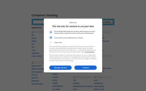
Container Tracking is a directory of shipping lines and container lines, listing carriers from ANL and CMA CGM to Maersk, MSC and ZIM. The site also offers container number prefixes, a contact page and a privacy policy, plus sections for shipping quote requests and an international trade and shipping directory.

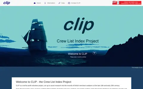
A not-for-profit volunteer project providing information and database access for research into records of British merchant seafarers and ships, mainly covering 1863 to 1913, with ship records from 1855 to the 1950s. It offers search guidance, FAQs, links to other maritime records, and states that privately commissioned research is not undertaken.
Vessel tracking platform with AIS data, ship databases, port calls, and maritime intelligence.

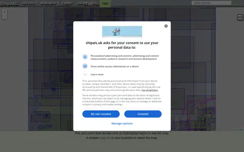
A site showing live shipping movements from AIS, along with a webcam looking over the River Mersey and Liverpool Bay. It includes pan-and-zoom map controls for mobile and desktop, a simpler map list, and options such as prediction time, oversize vessels, and vessel labels that apply after a page refresh.

Cruise ship tracking map for viewing vessel positions, routes, and port movements.
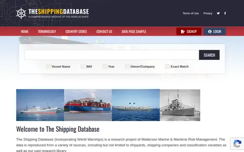
Shipping Database is a research project incorporating World Warships, run by Matterson Marine & Maritime Risk Management. It reproduces vessel data from shipyards, shipping companies, classification societies and a research library, covering barges and inland waterways vessels as well as other ships, with a terminology page explaining terms.
Maersk tracking page for checking container, booking, and shipment movement details.

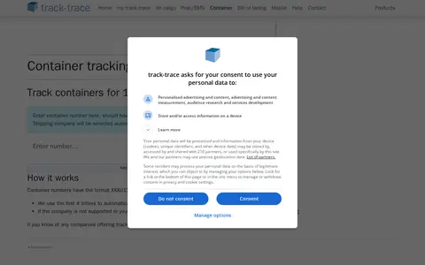
Track-trace's container tracking page lets users track containers for 169 companies. It uses the first four letters of container numbers to automatically send requests to the correct company, with manual selection possible after tracking.
Interactive map for understanding maritime security, trade routes, and regional ocean activity.
Marine Vessel Traffic page for tracking listed submarine vessels and related maritime map data.

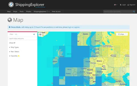
ShippingExplorer offers an AIS map for locating and tracking ships worldwide. The demo mode shows positions with a delay of up to 72 hours; real-time positions require login or registration. The map can be filtered by ship type and navigation status, and settings include showing a ship's track and route.

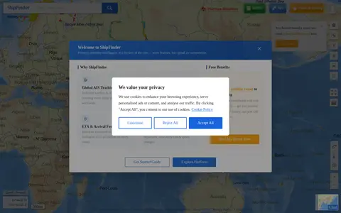
ShipFinder map showing AIS vessel positions, ship details, and live maritime traffic.
Marine Vessel Traffic page for tracking military vessels and related maritime activity.
Details from each project's website. Open a listing for its full overview.